– Lat/Long: 39.43° N 21.15° E
 Athamanika – Climbing, Hiking & Mountaineering information

Athamanika Guide
- Elevation: 2393
- Difficulty: -
- Best months to climb: -
- Convenient center: -
Athamanika climbers NotesBe the first to submit your climbers note! Please submit any useful information about climbing Athamanika that may be useful to other climbers. Consider things such as access and accommodation at the base of Athamanika, as well as the logistics of climbing to the summit. |
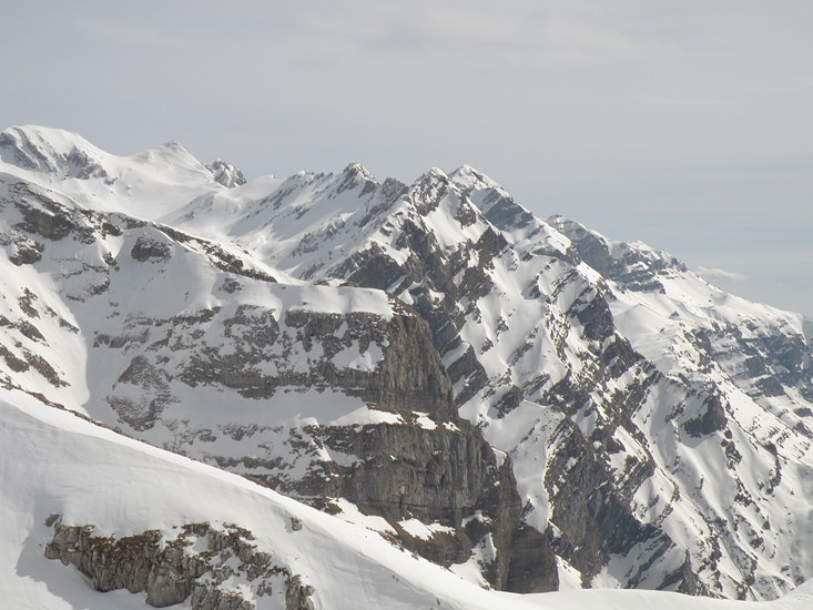
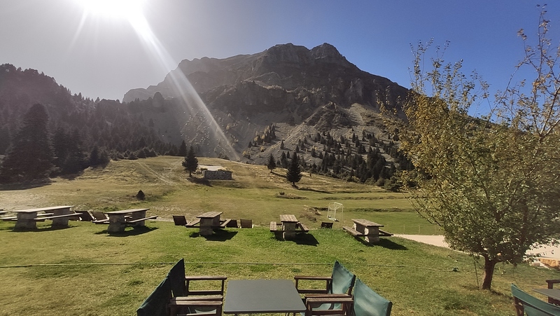
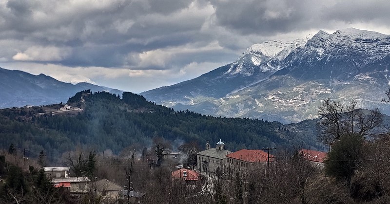
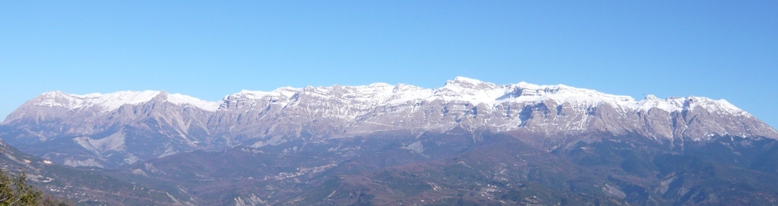
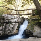
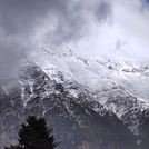
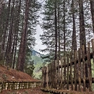
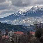
Latest Gallery Images for Athamanika

| Select a
mountain summit from the menu |
||
|
Select a Mountain Summit
|
||
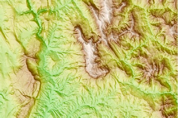
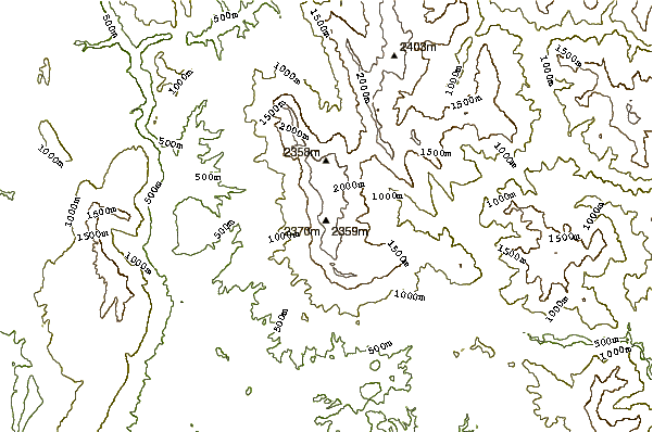
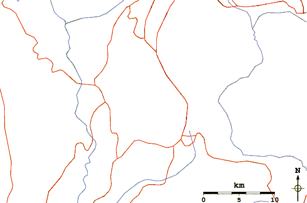
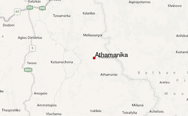
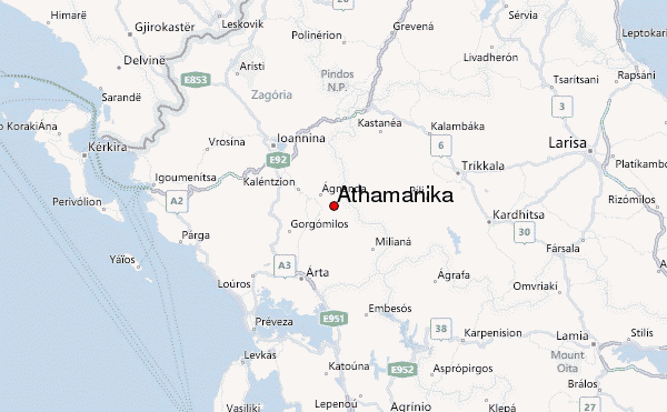
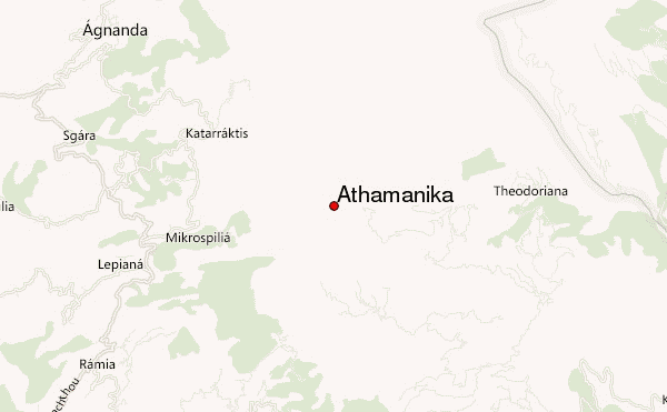
Use this relief map to navigate to mountain peaks in the area of Athamanika.
10 other mountain peaks closest to Athamanika:
| 1. | Katafidhi (2393 m) | 0.1 km |
| 2. | Καταφύγιο Καταρράκτη (1671 m) | 1.9 km |
| 3. | Καταφύγιο Μελισσουργών (1029 m) | 8.3 km |
| 4. | Καταφύγιο Πραμάντων (1245 m) | 8.9 km |
| 5. | Kakarditsa (2429 m) | 12.2 km |
| 6. | Καταφύγιο Βιοτόπου Κατούνας (1493 m) | 23.8 km |
| 7. | Loupata (2066 m) | 25.2 km |
| 8. | Lakmos (2295 m) | 28.2 km |
| 9. | Olytsikas or Tomaros (1974 m) | 32.5 km |
| 10. | Καταφύγιο Καραβούλας (1144 m) | 32.9 km |