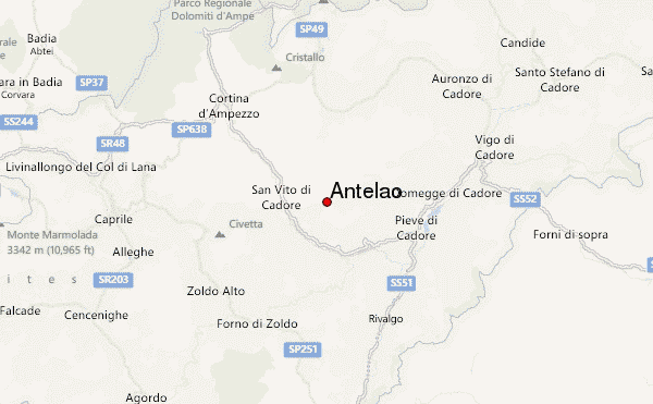
– Lat/Long: 46.45° N 12.26° E
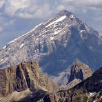
 Antelao – Climbing, Hiking & Mountaineering information

Antelao Guide
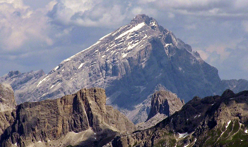
- Elevation: 3264
- Difficulty: Scramble
- Best months to climb: July, August, September
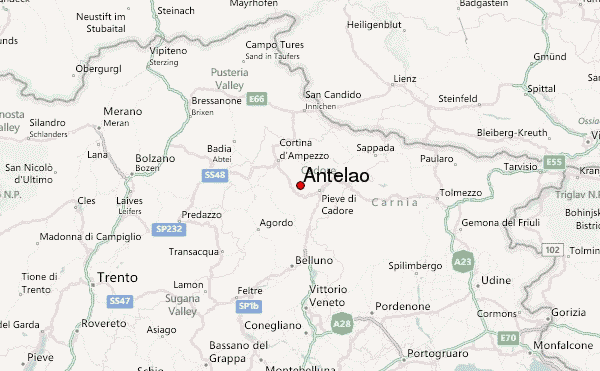
- Convenient center: Cortina d'Ampezzo
Antelao climbers NotesBe the first to submit your climbers note! Please submit any useful information about climbing Antelao that may be useful to other climbers. Consider things such as access and accommodation at the base of Antelao, as well as the logistics of climbing to the summit. |
| Select a
mountain summit from the menu |
||
|
Select a Mountain Summit
|
||
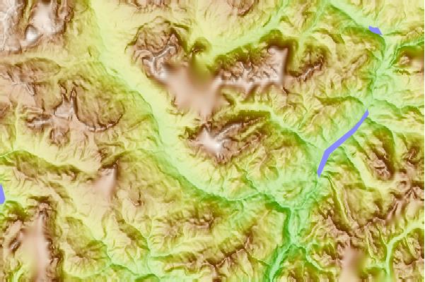
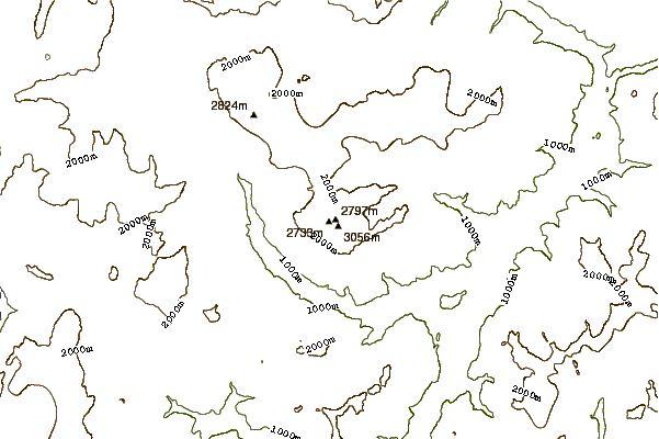
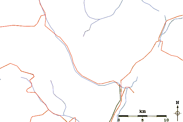
Use this relief map to navigate to mountain peaks in the area of Antelao.
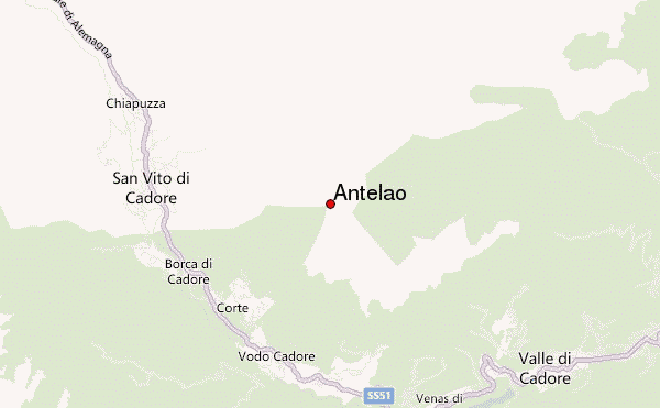
10 other mountain peaks closest to Antelao:
| 1. | Bivacco Cosi Piero (3200 m) | 0.2 km |
| 2. | Galassi Mountain Hut (2018 m) | 2.0 km |
| 3. | Rifugio Scotter–Palatini (1580 m) | 2.9 km |
| 4. | Rifugio San Marco (1823 m) | 3.7 km |
| 5. | Rifugio Capanna degli Alpini (1834 m) | 3.8 km |
| 6. | Bivacco Voltolina Leo E Gino (2082 m) | 4.4 km |
| 7. | Rifugio Antelao (1796 m) | 4.8 km |
| 8. | Rifugio Costapiana (1610 m) | 5.0 km |
| 9. | Bivacco Slataper Giuliano E Scipio (2600 m) | 6.3 km |
| 10. | Bivacco Musatti Alberto (2111 m) | 7.0 km |