– Lat/Long: 39.76° N 140.80° E
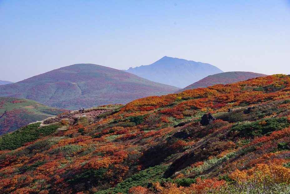
 Akita-komaga-take
Weather Forecast, JapanIssued: 2 pm Mon 20 Jul Local TimeUpdates in: hr min sUpdate imminent
Issued: 2 pm Mon 20 Jul Local Time
Updates in:
Update imminent hr min s

Issued: 2 pm Mon 20 Jul Local Time
Updates in:
Update imminent hr min s
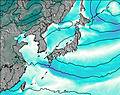
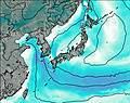
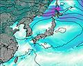
Days 1–4 Weather SummaryHeavy rain (total 45mm), heaviest during Wed night. Very mild (max 18°C on Mon afternoon, min 16°C on Tue morning). Winds increasing (light winds from the WNW on Tue night, near gales from the W by Wed morning). | Days 5–7 Weather SummaryHeavy rain (total 24mm), heaviest during Fri morning. Very mild (max 16°C on Thu afternoon, min 13°C on Sun morning). Wind will be generally light. | ||||||||||||||||
Mon 20 | Tuesday 21 | Wednesday 22 | Thursday 23 | Friday 24 | Saturday 25 | ||||||||||||
PM | night | AM | PM | night | AM | PM | night | AM | PM | night | AM | PM | night | AM | PM | night | |
risk tstorm | light rain | risk tstorm | risk tstorm | rain shwrs | light rain | light rain | heavy rain | risk tstorm | risk tstorm | light rain | mod. rain | light rain | light rain | light rain | light rain | light rain | |
Cloud base (m) | 400 | 400 | 400 | 500 | 450 | 400 | 500 | 400 | 450 | 500 | 450 | 450 | 550 | 650 | 550 | 650 | 550 |
km/h | |||||||||||||||||
 |  |  |  |  |  | ||||||||||||
— | — | — | — | — | — | — | — | — | — | — | — | — | — | — | — | — | |
mm | 1.6 | 2 | 1.9 | 1.7 | 0.6 | 1.8 | 4 | 27 | 4 | 2 | 3 | 10 | 2 | 1.7 | 0.3 | 0.3 | 1 |
max °C | 18 | 18 | 17 | 17 | 17 | 16 | 16 | 17 | 16 | 16 | 16 | 15 | 15 | 15 | 14 | 14 | 14 |
min °C | 18 | 17 | 16 | 17 | 16 | 16 | 16 | 16 | 16 | 16 | 15 | 15 | 15 | 14 | 14 | 14 | 14 |
chill °C | 16 | 15 | 14 | 16 | 15 | 14 | 14 | 14 | 15 | 15 | 14 | 15 | 15 | 13 | 13 | 14 | 13 |
Freezing level m | 5400 | 5550 | 5200 | 5150 | 5150 | 5050 | 5000 | 4950 | 4950 | 5050 | 4800 | 4600 | 4750 | 4750 | 4650 | 4700 | 4650 |
— | — | 4:24 | — | — | 4:26 | — | — | 4:26 | — | — | 4:28 | — | — | 4:28 | — | — | |
7:00 | — | — | 7:00 | — | — | 6:59 | — | — | 6:58 | — | — | 6:58 | — | — | 6:57 | — | |
Loading...
Akita-komaga-take Weather (Days 0-3):
The weather forecast for Akita-komaga-take is: Heavy rain (total 45mm), heaviest during Wed night. Very mild (max 18°C on Mon afternoon, min 16°C on Tue morning). Winds increasing (light winds from the WNW on Tue night, near gales from the W by Wed morning).
Akita-komaga-take Weather (Days 3-6):
Heavy rain (total 24mm), heaviest during Fri morning. Very mild (max 16°C on Thu afternoon, min 13°C on Sun morning). Wind will be generally light.
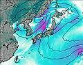
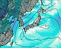
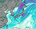
This table gives the weather forecast for Akita-komaga-take at the specific elevation of 1637 m. Our advanced weather models allow us to provide distinct weather forecasts for several elevations of Akita-komaga-take. To see the weather forecasts for the other elevations, use the tab navigation above the table. For a wider overview of the weather, consult the Weather Map of Japan.
| Weather Station | Temp. | Weather | Wind | Gusts | Cloud / Visibility |
|---|---|---|---|---|---|
Odate-Noshiro Airport | |||||
Misawa Airport | |||||
* NOTE: not all weather observatories update at the same frequency which is the reason why some locations may show data from stations that are further away than known closer ones.
Akita-komaga-take Photos
View all
Honshu photos (153) |
Japanese Archipelago photos (294) |
photos from mountains in Japan (376) |
all photos
 Upload new photo
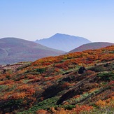
The best autumn leaves