– Lat/Long: 57.23° N 5.16° W
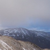
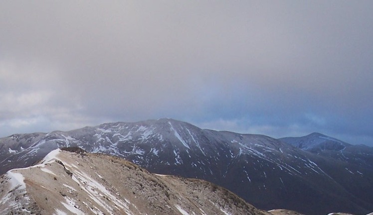
 A' Chràlaig (A- Chralaig)
Weather Forecast, United KingdomIssued: 12 am Tue 28 Jul Local TimeUpdates in: hr min sUpdate imminent
Issued: 12 am Tue 28 Jul Local Time
Updates in:
Update imminent hr min s

Issued: 12 am Tue 28 Jul Local Time
Updates in:
Update imminent hr min s
Days 1–4 Weather SummaryHeavy rain (total 32mm), heaviest during Thu morning. Very mild (max 13°C on Tue morning, min 8°C on Wed night). Winds decreasing (fresh winds from the SW on Tue afternoon, calm by Wed night). | Days 5–7 Weather SummaryModerate rain (total 16mm), heaviest on Sat morning. Very mild (max 10°C on Fri afternoon, min 7°C on Thu night). Wind will be generally light. | ||||||||||||||||||
Tuesday 28 | Wednesday 29 | Thursday 30 | Friday 31 | Saturday 1 | Sunday 2 | ||||||||||||||
night | AM | PM | night | AM | PM | night | AM | PM | night | AM | PM | night | AM | PM | night | AM | PM | night | |
light rain | light rain | light rain | mod. rain | light rain | rain shwrs | rain shwrs | heavy rain | rain shwrs | light rain | light rain | rain shwrs | light rain | light rain | light rain | light rain | rain shwrs | rain shwrs | rain shwrs | |
Cloud base (m) | 550 | 350 | 350 | 400 | 400 | 650 | 1450 | 350 | 450 | 650 | 350 | 700 | 500 | 400 | 500 | 350 | 600 | 650 | 750 |
km/h | |||||||||||||||||||
 |  |  |  |  |  |  | |||||||||||||
— | — | — | — | — | — | — | — | — | — | — | — | — | — | — | — | — | — | — | |
mm | 3 | 4 | 1.1 | 6 | 1.1 | 0.1 | 0.9 | 14 | 2 | 1.5 | 2 | 1 | 3 | 2 | 1.5 | 3 | 0.7 | 0.6 | 0.3 |
max °C | 12 | 13 | 13 | 12 | 11 | 11 | 9 | 8 | 9 | 7 | 9 | 10 | 8 | 9 | 9 | 9 | 10 | 10 | 8 |
min °C | 11 | 12 | 13 | 10 | 11 | 11 | 8 | 8 | 8 | 7 | 8 | 9 | 8 | 9 | 9 | 8 | 9 | 10 | 7 |
chill °C | 9 | 10 | 10 | 7 | 9 | 9 | 6 | 8 | 5 | 4 | 5 | 6 | 5 | 6 | 6 | 5 | 6 | 8 | 6 |
Freezing level m | 3150 | 3150 | 3300 | 2800 | 2600 | 2300 | 2000 | 1750 | 1700 | 1650 | 1750 | 1750 | 1800 | 1850 | 1850 | 1900 | 1850 | 2100 | 2100 |
— | 5:09 | — | — | 5:11 | — | — | 5:11 | — | — | 5:13 | — | — | 5:16 | — | — | 5:18 | — | — | |
— | — | 9:43 | — | — | 9:40 | — | — | 9:38 | — | — | 9:37 | — | — | 9:35 | — | — | 9:32 | — | |
Loading...
A' Chràlaig Weather (Days 0-3):
The weather forecast for A' Chràlaig is: Heavy rain (total 32mm), heaviest during Thu morning. Very mild (max 13°C on Tue morning, min 8°C on Wed night). Winds decreasing (fresh winds from the SW on Tue afternoon, calm by Wed night).
A' Chràlaig Weather (Days 3-6):
Moderate rain (total 16mm), heaviest on Sat morning. Very mild (max 10°C on Fri afternoon, min 7°C on Thu night). Wind will be generally light.
This table gives the weather forecast for A' Chràlaig at the specific elevation of 500 m. Our advanced weather models allow us to provide distinct weather forecasts for several elevations of A' Chràlaig. To see the weather forecasts for the other elevations, use the tab navigation above the table. For a wider overview of the weather, consult the Weather Map of United Kingdom.