 Refugio Aceral – Climbing, Hiking & Mountaineering information

Refugio Aceral Guide
- Place: -
- Facilities: Drinking, fireplace.
- Bookable: -
- Sleeps: 10
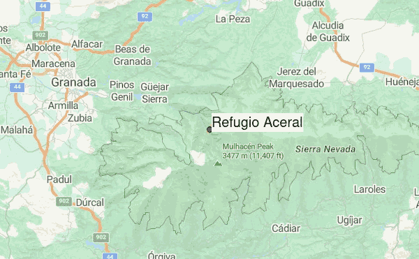
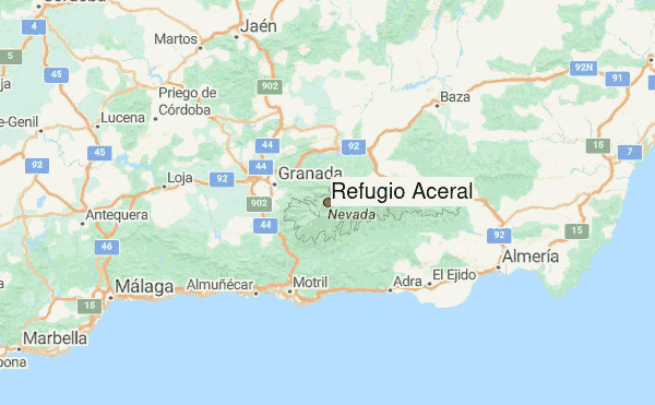
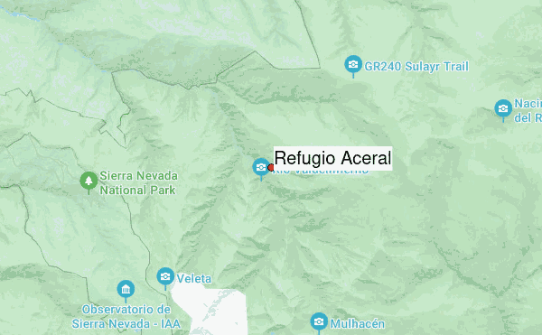
Refugio Aceral is a free refuge located in Andalusia (Spain). Available services: drinking water and fireplace. To access we must get to the Granadina population of Güéjar Sierra, and once there cross the town following the information posters that direct you to the Maitena River or Genil River. Once Güéjar Sierra has passed, the previous indications will be alternated with new signs that indicate towards the sidewalk of the Star or San Juan restaurant. About 3 kilometers before arriving, we will pass through the Maitena restaurant, from here the road narrows to the point of staying in a single lane, in addition to crossing three not very high tunnels where the tram passed formerly.
Refugio Aceral visitors NotesBe the first to submit your visitors note! Please submit any useful information about climbing Refugio Aceral that may be useful to other climbers. Consider things such as access and accommodation at the base of Refugio Aceral, as well as the logistics of climbing to the summit. |
10 other mountain peaks closest to Refugio Aceral:
| 1. | Refugio ACERAL DEL (1810 m) | 0.0 km |
| 2. | Refugio La Cucaracha (1840 m) | 1.5 km |
| 3. | Refugio Peña Partida (2463 m) | 4.1 km |
| 4. | Puntal de Vacares (3143 m) | 4.6 km |
| 5. | Alcazaba (3364 m) | 5.0 km |
| 6. | Albergue Universitario de Granada (2500 m) | 5.2 km |
| 7. | Refugio Vivac de la Caldera (3050 m) | 5.4 km |
| 8. | Cerro de los Machos (3327 m) | 5.8 km |
| 9. | Mulhacen (3482 m) | 6.0 km |
| 10. | Pico Veleta (3398 m) | 6.3 km |