Mountain Photos from Indonesia
Rating
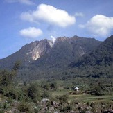
Mount Lawu
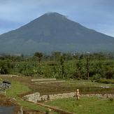
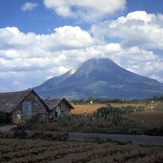
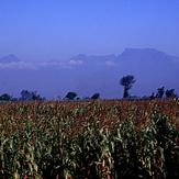
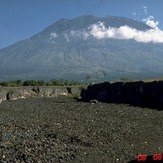
Mount Sundoro
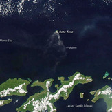
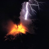
Batu Tara
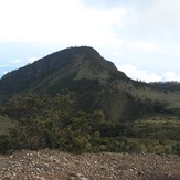
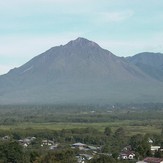
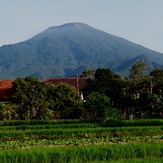
Mount Singgalang
Sinabung
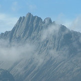
Puncak Jaya or Carstensz Pyramid
Puncak Jaya
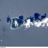
Gunungapi Wetar
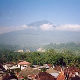
Mount Telomoyo
Mount Rinjani
Mount Wilis
Bur Ni Geureudong
Mount Tampomas
Sibayak
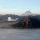
Mount Bromo
Mount Agung
Mount Cereme
Mount Dempo

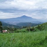
Mount Merbabu
Rokatenda
Mount Lokon