– Lat/Long: 39.30° N 120.33° W
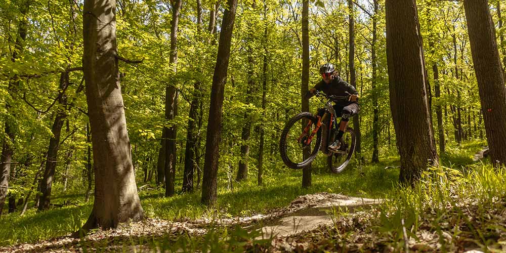
 Sugar Bowl Bike Park
Weather Forecast, United StatesIssued: 10 pm Sun 21 Jun Local TimeUpdates in: hr min sUpdate imminent
Issued: 10 pm Sun 21 Jun Local Time
Updates in:
Update imminent hr min s

Issued: 10 pm Sun 21 Jun Local Time
Updates in:
Update imminent hr min s
Days 1–4 Weather SummaryMostly dry. Very mild (max 18°C on Mon afternoon, min 12°C on Sun night). Winds increasing (light winds from the ENE on Sun night, fresh winds from the SW by Tue night). | Days 5–7 Weather SummaryMostly dry. Very mild (max 16°C on Thu afternoon, min 6°C on Fri night). Winds increasing (moderate winds from the WSW on Thu night, near gales from the SW by Fri night). | ||||||||||||||||||
Monday 22 | Tuesday 23 | Wednesday 24 | Thursday 25 | Friday 26 | Saturday 27 | ||||||||||||||
night | AM | PM | night | AM | PM | night | AM | PM | night | AM | PM | night | AM | PM | night | AM | PM | night | |
clear | clear | clear | clear | clear | clear | clear | clear | clear | clear | clear | clear | clear | clear | clear | rain shwrs | clear | clear | clear | |
km/h | |||||||||||||||||||
 |  |  |  |  |  |  | |||||||||||||
— | — | — | — | — | — | — | — | — | — | — | — | — | — | — | — | — | — | — | |
mm | — | — | — | — | — | — | — | — | — | — | — | — | — | — | — | 0.1 | — | — | — |
max °C | 14 | 17 | 18 | 15 | 16 | 18 | 15 | 16 | 16 | 14 | 15 | 16 | 13 | 13 | 13 | 9 | 8 | 8 | 5 |
min °C | 12 | 14 | 17 | 13 | 15 | 17 | 12 | 14 | 15 | 11 | 13 | 15 | 10 | 12 | 11 | 6 | 7 | 6 | 2 |
chill °C | 11 | 13 | 17 | 11 | 14 | 16 | 10 | 12 | 13 | 8 | 10 | 13 | 7 | 9 | 7 | 0 | 2 | 1 | -2 |
Freezing level m | 4650 | 4800 | 4750 | 4800 | 4650 | 4700 | 4650 | 4500 | 4600 | 4600 | 4650 | 4700 | 4600 | 4550 | 4400 | 4400 | 3800 | 3500 | 3500 |
Cloud base (m) | 9700 | 9700 | 9650 | ||||||||||||||||
— | 5:35 | — | — | 5:35 | — | — | 5:35 | — | — | 5:35 | — | — | 5:35 | — | — | 5:35 | — | — | |
— | — | — | 8:30 | — | — | 8:30 | — | — | 8:30 | — | — | 8:31 | — | — | 8:31 | — | — | 8:31 | |
Loading...
Sugar Bowl Weather (Days 0-3):
The weather forecast for Sugar Bowl is: Mostly dry. Very mild (max 18°C on Mon afternoon, min 12°C on Sun night). Winds increasing (light winds from the ENE on Sun night, fresh winds from the SW by Tue night).
Sugar Bowl Weather (Days 3-6):
Mostly dry. Very mild (max 16°C on Thu afternoon, min 6°C on Fri night). Winds increasing (moderate winds from the WSW on Thu night, near gales from the SW by Fri night).
This table gives the weather forecast for Sugar Bowl at the specific elevation of 2556 m. Our advanced weather models allow us to provide distinct weather forecasts for several elevations of Sugar Bowl. To see the weather forecasts for the other elevations, use the tab navigation above the table. For a wider overview of the weather, consult the Weather Map of California.
| Weather Station | Temp. | Weather | Wind | Gusts | Cloud / Visibility |
|---|---|---|---|---|---|
Truckee Tahoe Airport | |||||
Emigrant Gap Airport | |||||
Reno Airport | |||||
South Lake Tahoe Airport | |||||
Carson City Airport | |||||
Reno Stead Airport | |||||
Nevada County Air Park -Grass Valley (California) | |||||
Placerville Airport (California) |
* NOTE: not all weather observatories update at the same frequency which is the reason why some locations may show data from stations that are further away than known closer ones.