– Lat/Long: 14.53° N 90.50° W
 San Aguistin Bike Park

San Aguistin Bike Park Photos
View
photos from Sierra Madre (25) |
photos from Central American Ranges (82) |
photos from Guatemala (39) |
all photos
 Upload new photo
 Sort by:
Latest uploads
Photos from mountains close to San Aguistin Bike Park
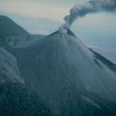
Pacaya
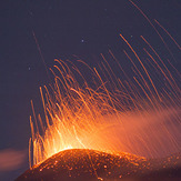
Pacaya
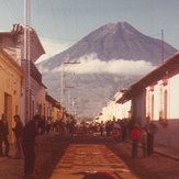
Volcán de Agua
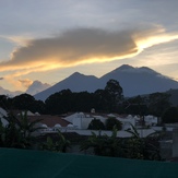
Acatenango or Fuego