– Lat/Long: 49.45° N 115.10° W
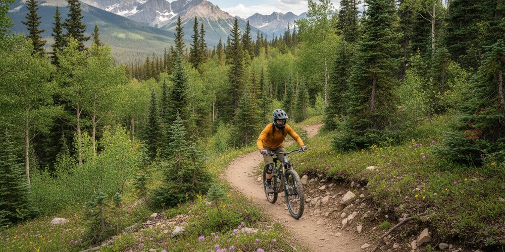
 Fernie Alpine Resort Bike Park
Weather Forecast, CanadaIssued: 11 pm Sun 26 Jul Local TimeUpdates in: hr min sUpdate imminent
Issued: 11 pm Sun 26 Jul Local Time
Updates in:
Update imminent hr min s

Issued: 11 pm Sun 26 Jul Local Time
Updates in:
Update imminent hr min s
Days 1–4 Weather SummaryMostly dry. Very mild (max 19°C on Wed afternoon, min 9°C on Sun night). Winds increasing (light winds from the SW on Mon night, strong winds from the SW by Tue afternoon). | Days 5–7 Weather SummaryMostly dry. Warm (max 23°C on Sat afternoon, min 10°C on Wed night). Winds increasing (light winds from the WSW on Wed night, fresh winds from the WSW by Sat afternoon). | ||||||||||||||||||
Monday 27 | Tuesday 28 | Wednesday 29 | Thursday 30 | Friday 31 | Saturday 1 | ||||||||||||||
night | AM | PM | night | AM | PM | night | AM | PM | night | AM | PM | night | AM | PM | night | AM | PM | night | |
clear | clear | clear | clear | clear | clear | clear | clear | clear | clear | clear | clear | some clouds | clear | clear | clear | clear | clear | clear | |
Cloud base (m) | 7150 | 9800 | 9200 | ||||||||||||||||
km/h | |||||||||||||||||||
 |  |  |  |  |  |  | |||||||||||||
— | — | — | — | — | — | — | — | — | — | — | — | — | — | — | — | — | — | — | |
mm | — | — | — | — | — | — | — | — | — | — | — | — | — | — | — | — | — | — | — |
max °C | 15 | 14 | 17 | 15 | 15 | 18 | 16 | 15 | 19 | 16 | 16 | 19 | 17 | 18 | 22 | 20 | 20 | 23 | 21 |
min °C | 9 | 11 | 17 | 10 | 13 | 18 | 10 | 12 | 18 | 10 | 13 | 19 | 12 | 14 | 20 | 15 | 17 | 23 | 12 |
chill °C | 6 | 8 | 16 | 8 | 11 | 17 | 8 | 10 | 17 | 9 | 12 | 18 | 11 | 13 | 20 | 14 | 16 | 23 | 9 |
Freezing level m | 4050 | 3750 | 4100 | 4150 | 4000 | 4250 | 4100 | 3900 | 4250 | 4250 | 4200 | 4400 | 4450 | 4650 | 4650 | 5000 | 5000 | 5000 | 4700 |
— | 6:05 | — | — | 6:05 | — | — | 6:07 | — | — | 6:09 | — | — | 6:09 | — | — | 6:11 | — | — | |
— | — | — | 9:27 | — | — | 9:25 | — | — | 9:23 | — | — | 9:22 | — | — | 9:21 | — | — | 9:20 | |
Loading...
Fernie Alpine Resort Weather (Days 0-3):
The weather forecast for Fernie Alpine Resort is: Mostly dry. Very mild (max 19°C on Wed afternoon, min 9°C on Sun night). Winds increasing (light winds from the SW on Mon night, strong winds from the SW by Tue afternoon).
Fernie Alpine Resort Weather (Days 3-6):
Mostly dry. Warm (max 23°C on Sat afternoon, min 10°C on Wed night). Winds increasing (light winds from the WSW on Wed night, fresh winds from the WSW by Sat afternoon).
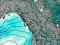
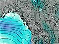
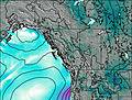
This table gives the weather forecast for Fernie Alpine Resort at the specific elevation of 2072 m. Our advanced weather models allow us to provide distinct weather forecasts for several elevations of Fernie Alpine Resort. To see the weather forecasts for the other elevations, use the tab navigation above the table. For a wider overview of the weather, consult the Weather Map of British-Columbia.
| Weather Station | Temp. | Weather | Wind | Gusts | Cloud / Visibility |
|---|---|---|---|---|---|
Morrissey Ridge | |||||
Sparwood Cs- BC | |||||
Sparwood Airport | |||||
Crowsnest- Alta | |||||
Cranbrook Airport | |||||
Cranbrook A- BC | |||||
* NOTE: not all weather observatories update at the same frequency which is the reason why some locations may show data from stations that are further away than known closer ones.