– Lat/Long: 39.25° N 119.92° W
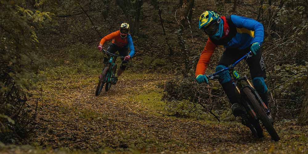
 Diamond Peak Ski Resort Bike Park
Weather Forecast, United StatesIssued: 4 pm Tue 07 Jul Local TimeUpdates in: hr min sUpdate imminent
Issued: 4 pm Tue 07 Jul Local Time
Updates in:
Update imminent hr min s

Issued: 4 pm Tue 07 Jul Local Time
Updates in:
Update imminent hr min s
Days 1–4 Weather SummaryMostly dry. Warm (max 22°C on Thu afternoon, min 14°C on Tue night). Wind will be generally light. | Days 5–7 Weather SummaryMostly dry. Warm (max 25°C on Sat afternoon, min 17°C on Fri night). Winds decreasing (fresh winds from the WSW on Fri afternoon, calm by Sat night). | ||||||||||||||||
Tue 7 | Wednesday 8 | Thursday 9 | Friday 10 | Saturday 11 | Sunday 12 | ||||||||||||
PM | night | AM | PM | night | AM | PM | night | AM | PM | night | AM | PM | night | AM | PM | night | |
clear | clear | clear | clear | clear | clear | clear | clear | clear | clear | clear | clear | clear | some clouds | some clouds | some clouds | some clouds | |
km/h | |||||||||||||||||
 |  |  |  |  |  | ||||||||||||
— | — | — | — | — | — | — | — | — | — | — | — | — | — | — | — | — | |
mm | — | — | — | — | — | — | — | — | — | — | — | — | — | — | — | — | — |
max °C | 21 | 18 | 19 | 21 | 18 | 18 | 22 | 19 | 19 | 22 | 20 | 21 | 25 | 21 | 22 | 24 | 21 |
min °C | 20 | 14 | 16 | 20 | 14 | 15 | 21 | 16 | 17 | 21 | 17 | 19 | 24 | 18 | 19 | 23 | 19 |
chill °C | 20 | 13 | 16 | 20 | 13 | 15 | 21 | 16 | 17 | 21 | 16 | 19 | 24 | 18 | 19 | 23 | 19 |
Freezing level m | 4800 | 4800 | 4700 | 4800 | 4700 | 4750 | 5050 | 5000 | 5000 | 5100 | 5050 | 5100 | 5300 | 5250 | 5250 | 5400 | 5300 |
Cloud base (m) | 9250 | 9150 | 8650 | 6400 | 5950 | 5650 | |||||||||||
— | — | 5:41 | — | — | 5:41 | — | — | 5:41 | — | — | 5:43 | — | — | 5:43 | — | — | |
— | 8:28 | — | — | 8:28 | — | — | 8:27 | — | — | 8:27 | — | — | 8:27 | — | — | 8:25 | |
Loading...
Diamond Peak Ski Resort Weather (Days 0-3):
The weather forecast for Diamond Peak Ski Resort is: Mostly dry. Warm (max 22°C on Thu afternoon, min 14°C on Tue night). Wind will be generally light.
Diamond Peak Ski Resort Weather (Days 3-6):
Mostly dry. Warm (max 25°C on Sat afternoon, min 17°C on Fri night). Winds decreasing (fresh winds from the WSW on Fri afternoon, calm by Sat night).
This table gives the weather forecast for Diamond Peak Ski Resort at the specific elevation of 2322 m. Our advanced weather models allow us to provide distinct weather forecasts for several elevations of Diamond Peak Ski Resort. To see the weather forecasts for the other elevations, use the tab navigation above the table. For a wider overview of the weather, consult the Weather Map of Nevada.
| Weather Station | Temp. | Weather | Wind | Gusts | Cloud / Visibility |
|---|---|---|---|---|---|
Carson City Airport | |||||
Truckee Tahoe Airport | |||||
Reno Airport | |||||
South Lake Tahoe Airport | |||||
Reno Stead Airport | |||||
Emigrant Gap Airport | |||||
Placerville Airport (California) | |||||
Nevada County Air Park -Grass Valley (California) |
* NOTE: not all weather observatories update at the same frequency which is the reason why some locations may show data from stations that are further away than known closer ones.