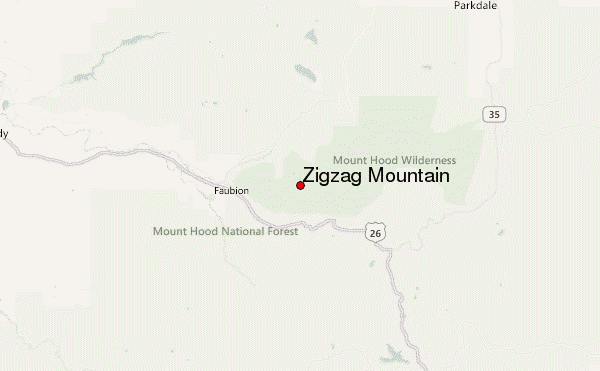
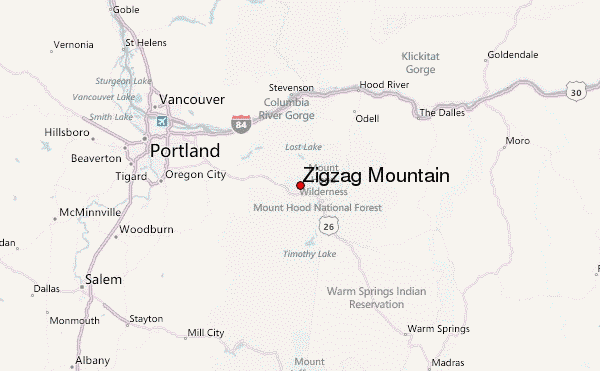
– Lat/Long: 45.35° N 121.84° W
 Zigzag Mountain – Climbing, Hiking & Mountaineering information

Zigzag Mountain Guide
- Elevation: 1526
- Difficulty: -
- Best months to climb: -
- Convenient center: -
Zigzag Mountain climbers NotesBe the first to submit your climbers note! Please submit any useful information about climbing Zigzag Mountain that may be useful to other climbers. Consider things such as access and accommodation at the base of Zigzag Mountain, as well as the logistics of climbing to the summit. |
| Select a
mountain summit from the menu |
||
|
Select a Mountain Summit
|
||
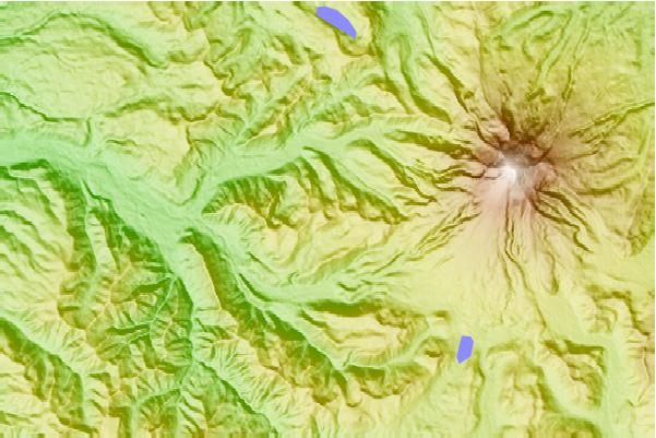
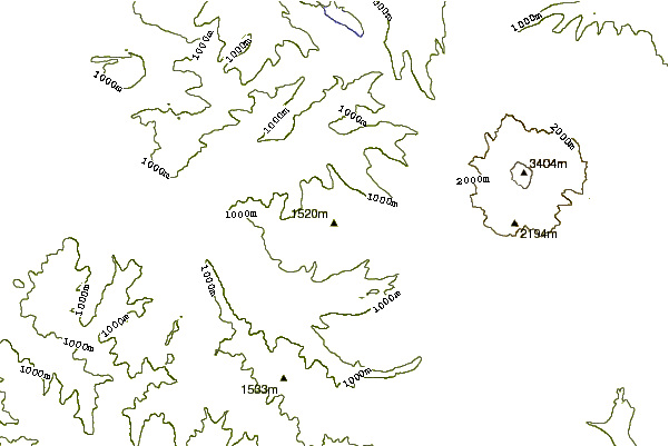
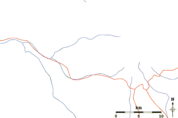
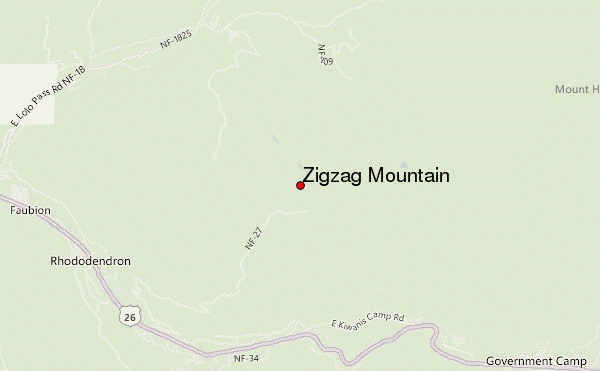
Use this relief map to navigate to mountain peaks in the area of Zigzag Mountain.
10 other mountain peaks closest to Zigzag Mountain:
| 1. | Tom Dick and Harry Mountain (1544 m) | 7.2 km |
| 2. | Skibowl Bike Park (1529 m) | 7.5 km |
| 3. | Timberline Bike Park (2116 m) | 9.7 km |
| 4. | Mount Hood (3426 m) | 11.7 km |
| 5. | Tilly Jane A-Frame (1737 m) | 16.1 km |
| 6. | White River Hut (998 m) | 19.1 km |
| 7. | Larch Mountain (Multnomah County, Oregon) (1238 m) | 28.5 km |
| 8. | Mount Mitchell (Oregon) (1531 m) | 28.7 km |
| 9. | Table Mountain (Skamania County, Washington) (1042 m) | 40.0 km |
| 10. | Greenleaf Peak (1044 m) | 42.2 km |