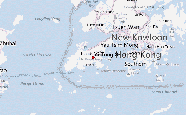
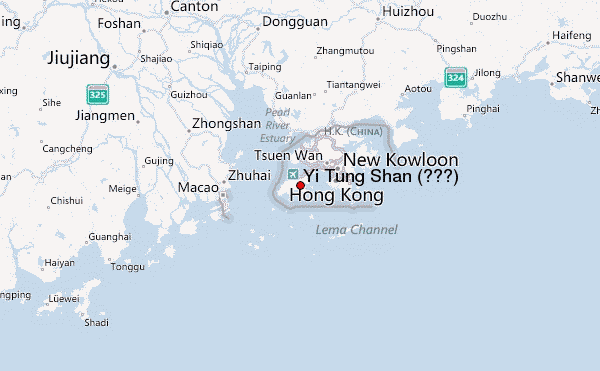
– Lat/Long: 22.26° N 113.97° E
 Yi Tung Shan (二東山) (Yi Tung Shan) – Climbing, Hiking & Mountaineering information

Yi Tung Shan (二東山) Guide
- Elevation: 747
- Difficulty: -
- Best months to climb: -
- Convenient center: -
Yi Tung Shan (二東山) climbers NotesBe the first to submit your climbers note! Please submit any useful information about climbing Yi Tung Shan (二東山) that may be useful to other climbers. Consider things such as access and accommodation at the base of Yi Tung Shan (二東山), as well as the logistics of climbing to the summit. |
| Select a
mountain summit from the menu |
||
|
Select a Mountain Summit
|
||
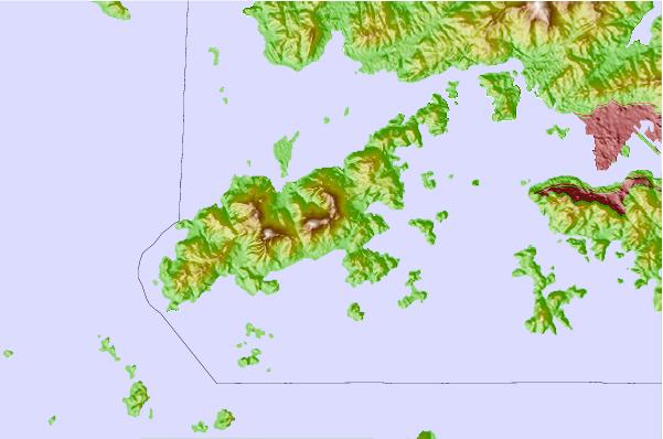

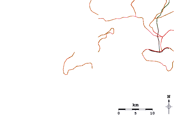
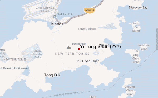
Use this relief map to navigate to mountain peaks in the area of Yi Tung Shan (二東山).
10 other mountain peaks closest to Yi Tung Shan (二東山):
| 1. | Sunset Peak (大東山) (869 m) | 1.1 km |
| 2. | Lin Fa Shan (蓮花山) (766 m) | 1.7 km |
| 3. | Lantau Peak (鳳凰山) (934 m) | 4.8 km |
| 4. | Nei Lak Shan (彌勒山) (751 m) | 5.7 km |
| 5. | Mount Davis, Hong Kong (269 m) | 16.3 km |
| 6. | Victoria Peak (552 m) | 20.6 km |
| 7. | Tai Mo Shan (大帽山) (957 m) | 23.4 km |
| 8. | Sze Fong Shan (四方山) (785 m) | 24.8 km |
| 9. | Wo Yang Shan (禾秧山) (771 m) | 24.8 km |
| 10. | Lion Rock (495 m) | 25.0 km |