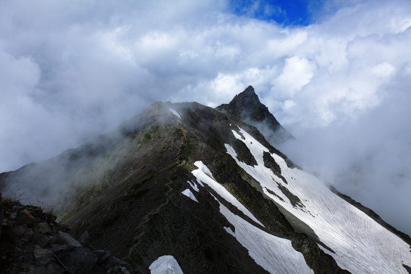
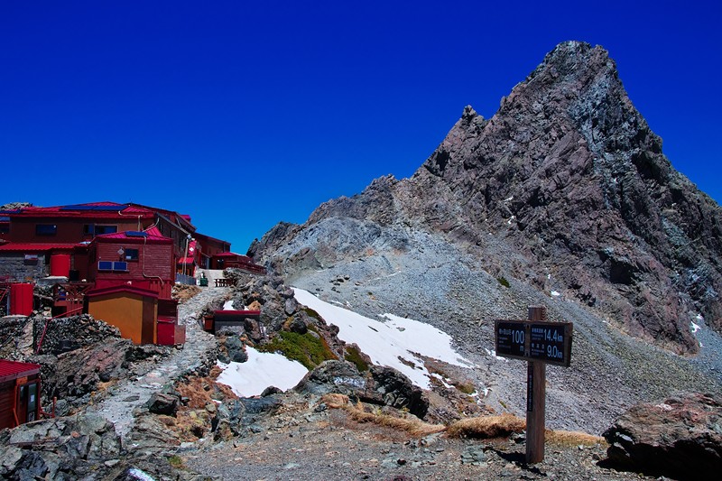
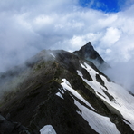
– Lat/Long: 36.34° N 137.65° E

JaYarigadake – Climbing, Hiking & Mountaineering information

Placeholder

Yarigadake mountain guide

Yumigatake seen from OobaMi-dake, Yarigadake photo

Yarigadake

Photo credit: Donai

A view of Yarigatake taken from Jiigatake, Yarigadake photo

Yarigadake

Photo credit: tom

冬期限定 焼岳(南峰), Yarigadake photo

Yarigadake

Photo credit: amia

槍ヶ岳, Yarigadake photo

Yarigadake

Photo credit: amia

  • Elevation: 3180 m
  • Difficulty: Scramble
  • Best months to climb:
  • Convenient center: Kami

Yarigadake Climbing Notes

oik from JAPAN writes:

Hi, Sungkon.

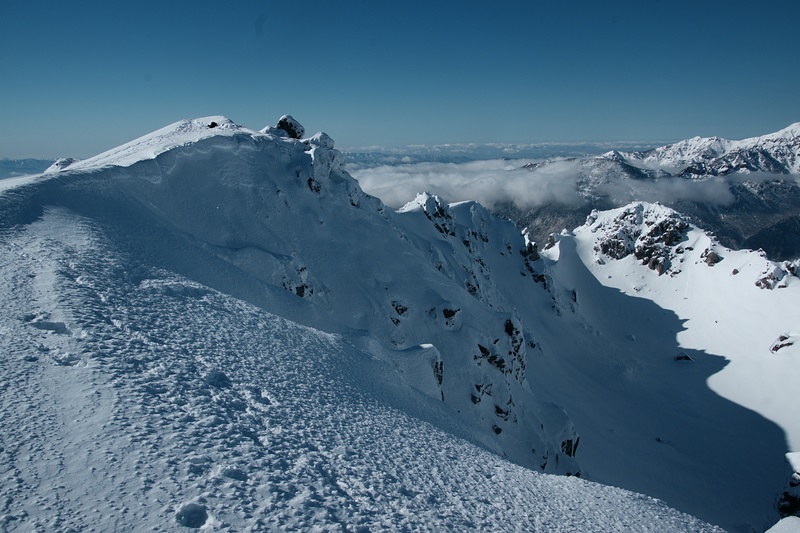
According to info provided by mountain huts in the area, you may need "light eisen", walking crampons with 6 points, and walking poles.

Good preparation makes safe mountain walking.

I hope you to enjoy nice mountain trip in Japan!

2019-07-06

Click here to read 1 more climbing note for Yarigadake or submit your own

Yarigadake Location Map

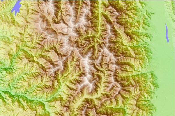
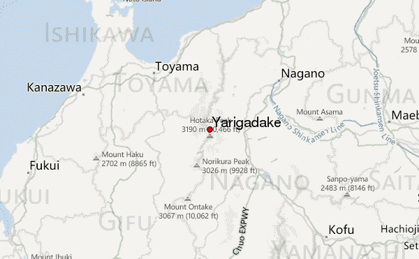
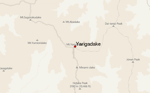
Select Yarigadake Location Map Detail:


Select a mountain summit from the menu
Select a Mountain Summit
Surf breaks located close to Yarigadake Mountain peaks around Yarigadake Roads and rivers around Yarigadake

Use this relief map to navigate to mountain peaks in the area of Yarigadake.

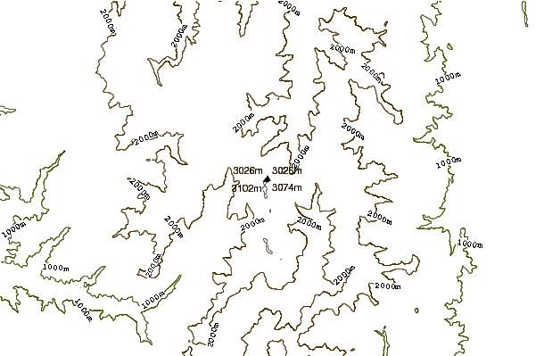
10 other mountain peaks closest to Yarigadake:

1. Mount Kasa (2897 m) 4.2 km
2. Mount Yumiori (2592 m) 4.6 km
3. Hotakadake (3190 m) 5.2 km
4. Jonen Dake (2857 m) 7.4 km
5. Tsubakuro Dake or Mt Tsubakuro (2763 m) 8.8 km
6. Mt Chogatake (2664 m) 9.1 km
7. Washiba Dake (2924 m) 9.2 km
8. Mount Kurobegorō (2897 m) 11.1 km
9. Yake-dake (2455 m) 15.0 km
10. Mount Yakushi (2926 m) 16.8 km