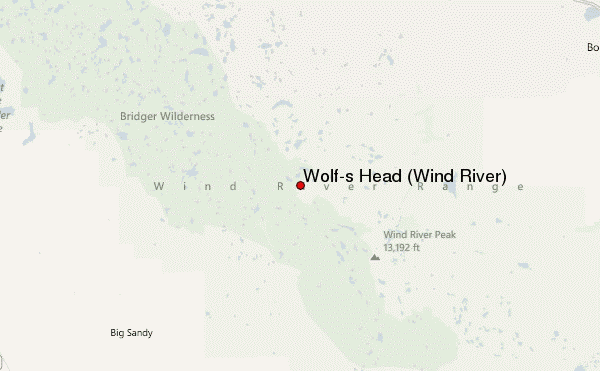
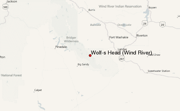
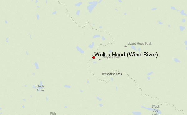
– Lat/Long: 42.78° N 109.23° W
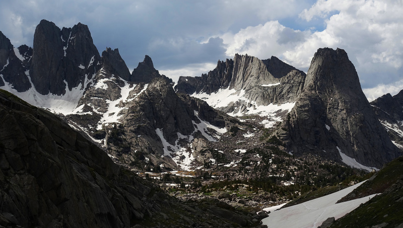
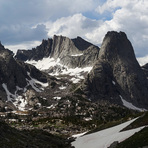
 Wolf's Head (Wind River) (Wolf-s Head (Wind River)) – Climbing, Hiking & Mountaineering information

Wolf's Head (Wind River) Guide
- Elevation: 3708
- Difficulty: -
- Best months to climb: -
- Convenient center: -
Wolf's Head (Wind River) climbers NotesBe the first to submit your climbers note! Please submit any useful information about climbing Wolf's Head (Wind River) that may be useful to other climbers. Consider things such as access and accommodation at the base of Wolf's Head (Wind River), as well as the logistics of climbing to the summit. |
| Select a
mountain summit from the menu |
||
|
Select a Mountain Summit
|
||
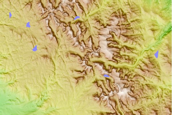
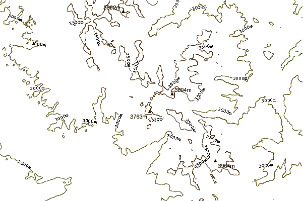
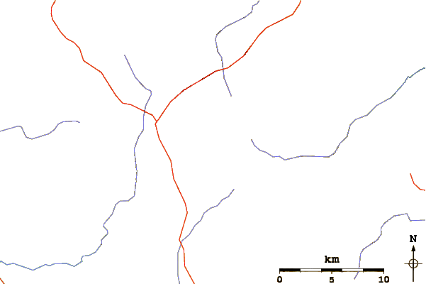
Use this relief map to navigate to mountain peaks in the area of Wolf's Head (Wind River).
10 other mountain peaks closest to Wolf's Head (Wind River):
| 1. | Pingora (3622 m) | 0.6 km |
| 2. | Wind River Peak (4021 m) | 11.7 km |
| 3. | Downs Mountain (4069 m) | 46.9 km |
| 4. | Jackson Peak (Fremont County, Wyoming) (4120 m) | 48.3 km |
| 5. | Fremont Peak (4190 m) | 48.8 km |
| 6. | Mount Sacagawea (4136 m) | 50.9 km |
| 7. | Mount Helen (Wyoming) (4151 m) | 52.5 km |
| 8. | Turret Peak (Wyoming) (4145 m) | 53.1 km |
| 9. | Mount Febbas (4105 m) | 53.3 km |
| 10. | Mount Warren (4182 m) | 53.4 km |