– Lat/Long: 53.36° N 1.72° W
 Win Hill
Weather Forecast, United KingdomIssued: 12 pm Mon 03 Aug Local TimeUpdates in: hr min sUpdate imminent
Issued: 12 pm Mon 03 Aug Local Time
Updates in:
Update imminent hr min s

Issued: 12 pm Mon 03 Aug Local Time
Updates in:
Update imminent hr min s
Days 1–3 Weather SummaryLight rain (total 2mm), mostly falling on Mon night. Warm (max 24°C on Mon afternoon, min 11°C on Wed night). Winds increasing (light winds from the SSW on Mon night, strong winds from the W by Wed afternoon). | Days 4–6 Weather SummaryMostly dry. Warm (max 20°C on Sat afternoon, min 9°C on Thu night). Winds decreasing (fresh winds from the WNW on Thu morning, light winds from the WSW by Thu night). | |||||||||||||||||
Monday 3 | Tuesday 4 | Wednesday 5 | Thursday 6 | Friday 7 | Saturday 8 | |||||||||||||
AM | PM | night | AM | PM | night | AM | PM | night | AM | PM | night | AM | PM | night | AM | PM | night | |
clear | some clouds | rain shwrs | cloudy | rain shwrs | rain shwrs | rain shwrs | rain shwrs | rain shwrs | rain shwrs | rain shwrs | clear | some clouds | cloudy | clear | clear | clear | clear | |
Cloud base (m) | 5400 | 2600 | 2950 | 5700 | 1950 | 250 | 1500 | 650 | 650 | 950 | 8350 | 2300 | 2300 | 7800 | 3250 | 3400 | ||
km/h | ||||||||||||||||||
 |  |  |  |  |  | |||||||||||||
— | — | — | — | — | — | — | — | — | — | — | — | — | — | — | — | — | — | |
mm | — | — | 0.4 | — | 0.1 | 0.5 | 0.4 | 0.2 | 0.6 | 0.5 | 0.3 | — | — | — | — | — | — | — |
max °C | 21 | 24 | 18 | 23 | 22 | 17 | 14 | 15 | 12 | 14 | 14 | 10 | 17 | 19 | 14 | 18 | 20 | 15 |
min °C | 18 | 22 | 15 | 20 | 21 | 13 | 13 | 14 | 11 | 12 | 14 | 9 | 14 | 17 | 11 | 16 | 18 | 14 |
chill °C | 17 | 22 | 14 | 20 | 21 | 11 | 10 | 11 | 7 | 9 | 12 | 8 | 13 | 17 | 10 | 15 | 17 | 13 |
Freezing level m | 3400 | 3150 | 3700 | 3700 | 3500 | 3600 | 3100 | 3050 | 3000 | 2300 | 2350 | 2950 | 2850 | 2750 | 2800 | 3150 | 3500 | 3500 |
5:24 | — | — | 5:26 | — | — | 5:28 | — | — | 5:30 | — | — | 5:31 | — | — | 5:33 | — | — | |
— | 8:59 | — | — | 8:57 | — | — | 8:55 | — | — | 8:53 | — | — | 8:52 | — | — | 8:50 | — | |
Loading...
Win Hill Weather (Days 0-3):
The weather forecast for Win Hill is: Light rain (total 2mm), mostly falling on Mon night. Warm (max 24°C on Mon afternoon, min 11°C on Wed night). Winds increasing (light winds from the SSW on Mon night, strong winds from the W by Wed afternoon).
Win Hill Weather (Days 3-6):
Mostly dry. Warm (max 20°C on Sat afternoon, min 9°C on Thu night). Winds decreasing (fresh winds from the WNW on Thu morning, light winds from the WSW by Thu night).
This table gives the weather forecast for Win Hill at the specific elevation of 462 m. Our advanced weather models allow us to provide distinct weather forecasts for several elevations of Win Hill. To see the weather forecasts for the other elevations, use the tab navigation above the table. For a wider overview of the weather, consult the Weather Map of United Kingdom.
| Weather Station | Temp. | Weather | Wind | Gusts | Cloud / Visibility |
|---|---|---|---|---|---|
Humberside International Airport | |||||
Manchester International Airport | |||||
Leeds And Bradford Airport | |||||
East Midlands Airport | |||||
Liverpool Airport | |||||
YDSC | |||||
Shack int Dales |
* NOTE: not all weather observatories update at the same frequency which is the reason why some locations may show data from stations that are further away than known closer ones.
Win Hill Photos
View all
Peak District photos (120) |
Pennines photos (198) |
photos from mountains in United Kingdom (2125) |
all photos
 Upload new photo

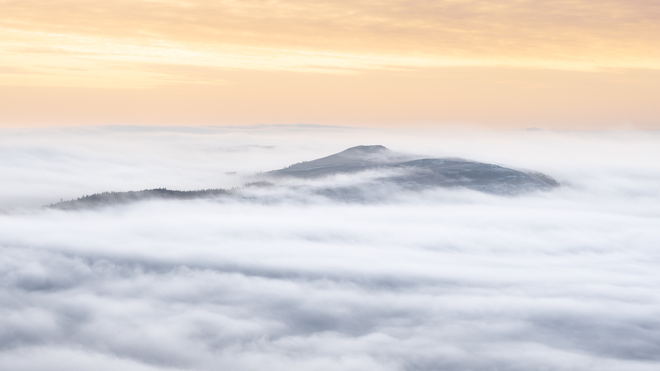
Win Hill through the clouds
Win Hill
Mam Tor from Win Hill summit
Win Hill