– Lat/Long: 36.56° N 105.42° W
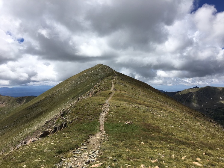
 Wheeler Peak
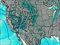
Weather Forecast, United StatesIssued: 5 am Mon 03 Aug Local TimeUpdates in: hr min sUpdate imminent
Issued: 5 am Mon 03 Aug Local Time
Updates in:
Update imminent hr min s

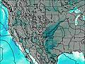
Issued: 5 am Mon 03 Aug Local Time
Updates in:
Update imminent hr min s
Days 1–3 Weather SummarySome drizzle, heaviest during Tue night. Very mild (max 16°C on Mon afternoon, min 9°C on Mon night). Wind will be generally light. | Days 4–6 Weather SummarySome drizzle, heaviest during Sat afternoon. Very mild (max 15°C on Thu afternoon, min 9°C on Fri night). Wind will be generally light. | |||||||||||||||||
Monday 3 | Tuesday 4 | Wednesday 5 | Thursday 6 | Friday 7 | Saturday 8 | |||||||||||||
AM | PM | night | AM | PM | night | AM | PM | night | AM | PM | night | AM | PM | night | AM | PM | night | |
clear | some clouds | clear | some clouds | light rain | risk tstorm | clear | some clouds | clear | clear | some clouds | clear | some clouds | rain shwrs | clear | clear | rain shwrs | clear | |
Cloud base (m) | 6000 | 6050 | 6150 | 6100 | 6200 | 6100 | 6100 | 6750 | 5700 | 8250 | 9250 | |||||||
km/h | ||||||||||||||||||
 |  |  |  |  |  | |||||||||||||
— | — | — | — | — | — | — | — | — | — | — | — | — | — | — | — | — | — | |
mm | — | — | — | — | 0.5 | 1.3 | — | — | — | — | — | — | — | 0.2 | — | — | 1.2 | — |
max °C | 14 | 16 | 14 | 13 | 13 | 10 | 12 | 15 | 12 | 13 | 15 | 12 | 13 | 12 | 12 | 13 | 11 | 11 |
min °C | 11 | 15 | 9 | 9 | 12 | 9 | 10 | 14 | 10 | 11 | 13 | 11 | 11 | 12 | 9 | 10 | 10 | 10 |
chill °C | 9 | 14 | 9 | 9 | 11 | 9 | 8 | 13 | 9 | 10 | 11 | 10 | 10 | 12 | 8 | 9 | 8 | 10 |
Freezing level m | 5550 | 5750 | 5650 | 5300 | 5550 | 5450 | 5350 | 5600 | 5400 | 5400 | 5550 | 5400 | 5300 | 5500 | 5500 | 5250 | 5400 | 5450 |
6:09 | — | — | 6:09 | — | — | 6:09 | — | — | 6:11 | — | — | 6:11 | — | — | 6:13 | — | — | |
— | 8:06 | — | — | 8:05 | — | — | 8:04 | — | — | 8:02 | — | — | 8:01 | — | — | 8:00 | — | |
Loading...
Wheeler Peak Weather (Days 0-3):
The weather forecast for Wheeler Peak is: Some drizzle, heaviest during Tue night. Very mild (max 16°C on Mon afternoon, min 9°C on Mon night). Wind will be generally light.
Wheeler Peak Weather (Days 3-6):
Some drizzle, heaviest during Sat afternoon. Very mild (max 15°C on Thu afternoon, min 9°C on Fri night). Wind will be generally light.
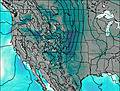
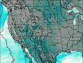
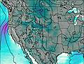
This table gives the weather forecast for Wheeler Peak at the specific elevation of 4011 m. Our advanced weather models allow us to provide distinct weather forecasts for several elevations of Wheeler Peak. To see the weather forecasts for the other elevations, use the tab navigation above the table. For a wider overview of the weather, consult the Weather Map of New-Mexico.
| Weather Station | Temp. | Weather | Wind | Gusts | Cloud / Visibility |
|---|---|---|---|---|---|
Angel Fire Airport | |||||
Raton Airport | |||||
* NOTE: not all weather observatories update at the same frequency which is the reason why some locations may show data from stations that are further away than known closer ones.
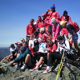
Wheeler Peak Photos
View all
Sangre de Cristo Range photos (39) |
Rocky Mountains (USA) photos (298) |
photos from mountains in United States (3056) |
all photos
 Upload new photo
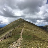

 See 9 more Wheeler Peak photos
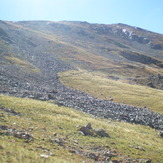
Last stretch on Bull of the Woods Trail
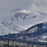
Wheeler Peak
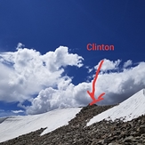
Clinton Peak 13,864 Ft
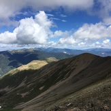
View to the Southwest from summit
Cindy and Tom on the summit of Wheeler Peak, NM
UM Ski Team