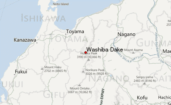
– Lat/Long: 36.41° N 137.59° E
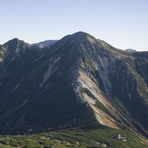
 Washiba Dake – Climbing, Hiking & Mountaineering information

Washiba Dake Guide

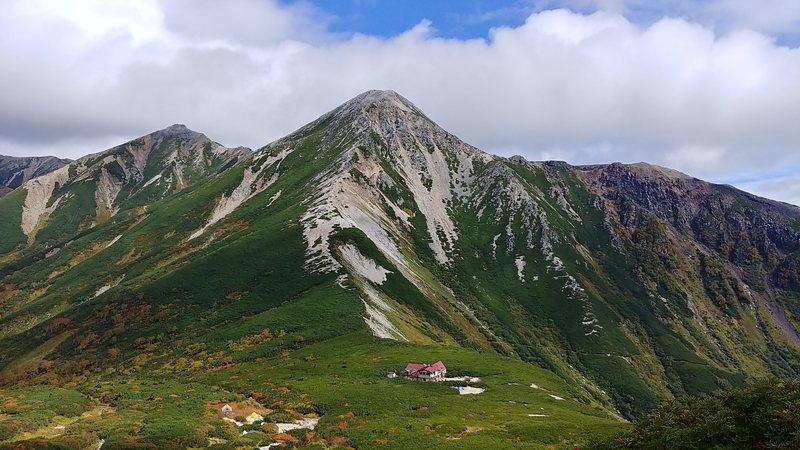
- Elevation: 2924
- Difficulty: Walk up
- Best months to climb: August, September
- Convenient center: Takayama
Washiba Dake climbers NotesBe the first to submit your climbers note! Please submit any useful information about climbing Washiba Dake that may be useful to other climbers. Consider things such as access and accommodation at the base of Washiba Dake, as well as the logistics of climbing to the summit. |
| Select a
mountain summit from the menu |
||
|
Select a Mountain Summit
|
||
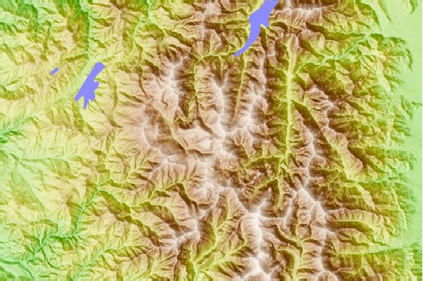
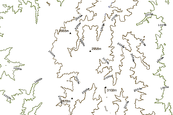
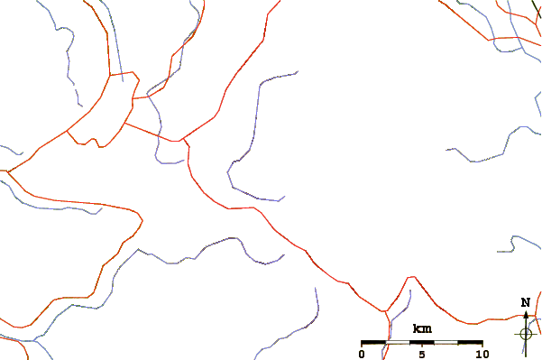
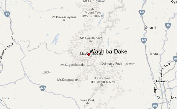
Use this relief map to navigate to mountain peaks in the area of Washiba Dake.
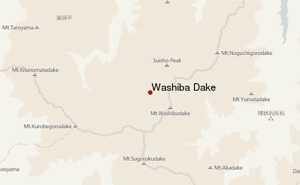
10 other mountain peaks closest to Washiba Dake:
| 1. | 笠ヶ岳山荘 (2554 m) | 1.6 km |
| 2. | 鏡平山荘 (2903 m) | 1.8 km |
| 3. | 野口五郎小屋 (2548 m) | 1.9 km |
| 4. | スゴ乗越小屋 (2126 m) | 3.2 km |
| 5. | 雲ノ平山荘 (2345 m) | 3.3 km |
| 6. | 太郎平小屋 (1918 m) | 4.4 km |
| 7. | 水晶小屋 (2552 m) | 4.8 km |
| 8. | 七倉山荘 (2867 m) | 5.0 km |
| 9. | Mount Kurobegorō (2897 m) | 5.1 km |
| 10. | Mount Yumiori (2592 m) | 7.0 km |