– Lat/Long: 44.71° N 118.56° W
 Vinegar Hill – Climbing, Hiking & Mountaineering information

Vinegar Hill Guide
- Elevation: 2478
- Difficulty: Walk up
- Best months to climb: June, July, August, September, October
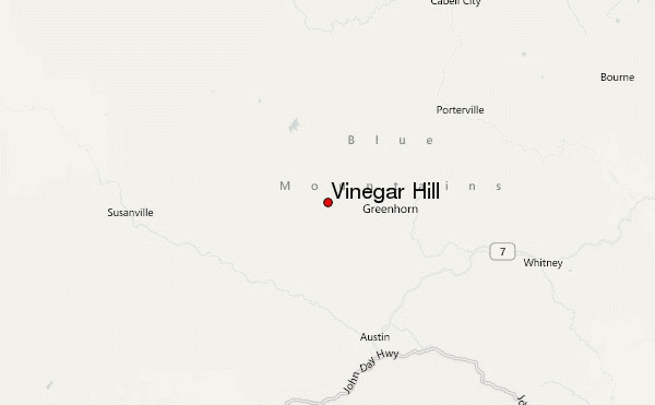
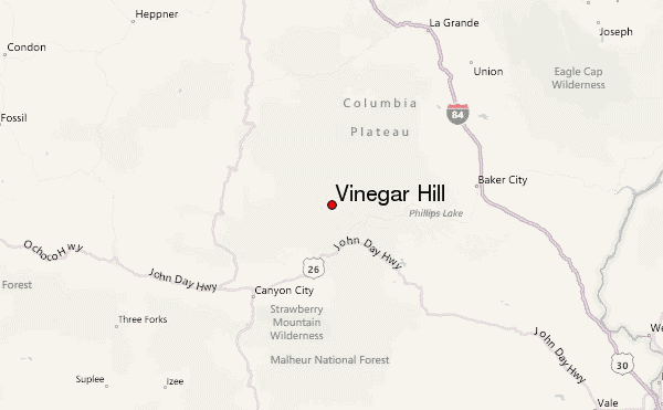
- Convenient center: John Day, Oregon
Vinegar Hill climbers NotesBe the first to submit your climbers note! Please submit any useful information about climbing Vinegar Hill that may be useful to other climbers. Consider things such as access and accommodation at the base of Vinegar Hill, as well as the logistics of climbing to the summit. |
| Select a
mountain summit from the menu |
||
|
Select a Mountain Summit
|
||
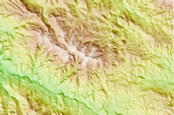
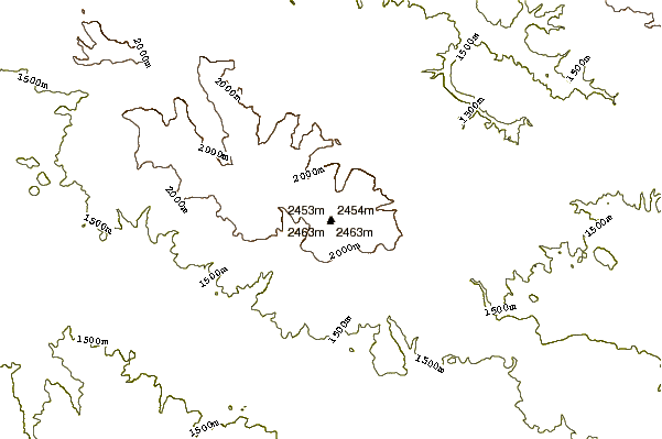
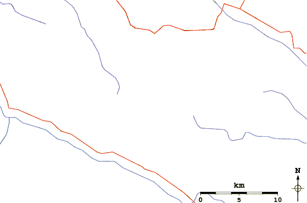
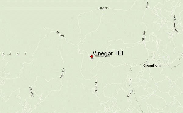
Use this relief map to navigate to mountain peaks in the area of Vinegar Hill.
10 other mountain peaks closest to Vinegar Hill:
| 1. | Mount Ireland (2536 m) | 23.4 km |
| 2. | Table Rock (2402 m) | 46.6 km |
| 3. | Strawberry Mountain (2755 m) | 47.1 km |
| 4. | Fields Peak (2244 m) | 69.3 km |
| 5. | Ditch Creek Guard Station (1426 m) | 76.6 km |
| 6. | Mount Emily (Union County, Oregon) (1862 m) | 88.7 km |
| 7. | Mount Fanny (2175 m) | 92.9 km |
| 8. | Meadow Mountain (2385 m) | 94.4 km |
| 9. | China Cap (2638 m) | 96.4 km |
| 10. | Cornucopia Yurt (959 m) | 108.3 km |