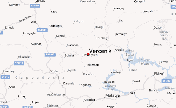
– Lat/Long: 39.00° N 38.00° E
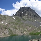
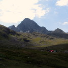
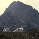
 Vercenik – Climbing, Hiking & Mountaineering information

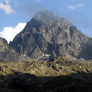
Vercenik Guide
- Elevation: 3730
- Difficulty: -
- Best months to climb: July, August, September
- Convenient center: Trabzon
Vercenik climbers NotesBe the first to submit your climbers note! Please submit any useful information about climbing Vercenik that may be useful to other climbers. Consider things such as access and accommodation at the base of Vercenik, as well as the logistics of climbing to the summit. |
| Select a
mountain summit from the menu |
||
|
Select a Mountain Summit
|
||
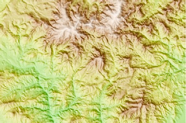
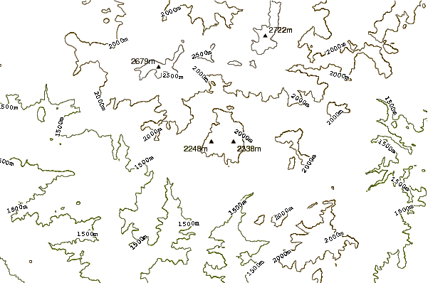
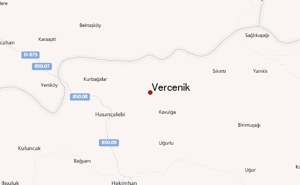
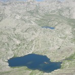
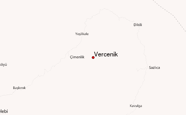
Use this relief map to navigate to mountain peaks in the area of Vercenik.
10 other mountain peaks closest to Vercenik:
| 1. | Mount Bulut (3562 m) | 90.7 km |
| 2. | Mount Güngörmez (3540 m) | 128.4 km |
| 3. | Çakirgöl or Cakirgol (3034 m) | 200.2 km |
| 4. | Karacalidag (1957 m) | 217.8 km |
| 5. | Karaca Dağ (1957 m) | 217.8 km |
| 6. | Erciyes Bike Park (3318 m) | 221.4 km |
| 7. | Mount Erciyes (3917 m) | 225.1 km |
| 8. | Deveboynu (3082 m) | 225.9 km |
| 9. | Erciyes Dagi (3917 m) | 227.3 km |
| 10. | Mount Sis (2182 m) | 229.6 km |