– Lat/Long: 34.38° S 118.03° E
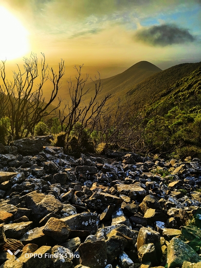
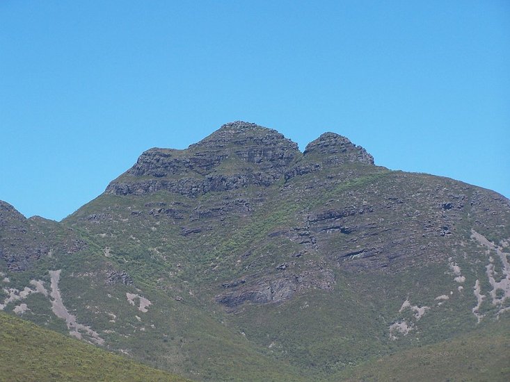
 Toolbrunup – Climbing, Hiking & Mountaineering information

Toolbrunup Guide

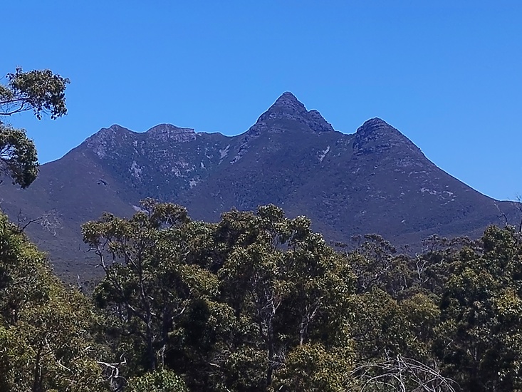
- Elevation: 1052
- Difficulty: -
- Best months to climb: -
- Convenient center: -
Toolbrunup climbers NotesBe the first to submit your climbers note! Please submit any useful information about climbing Toolbrunup that may be useful to other climbers. Consider things such as access and accommodation at the base of Toolbrunup, as well as the logistics of climbing to the summit. |
| Select a
mountain summit from the menu |
||
|
Select a Mountain Summit
|
||
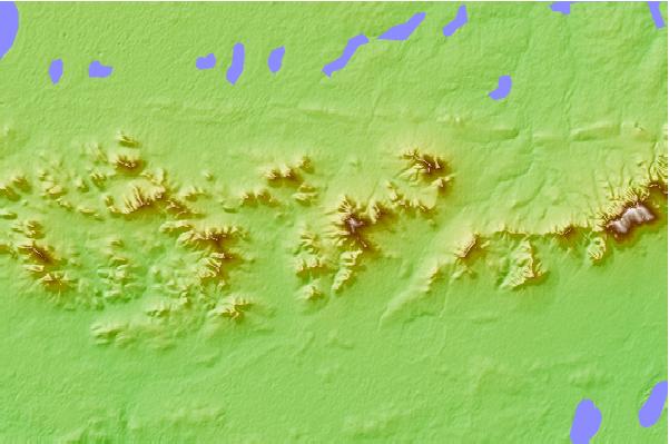
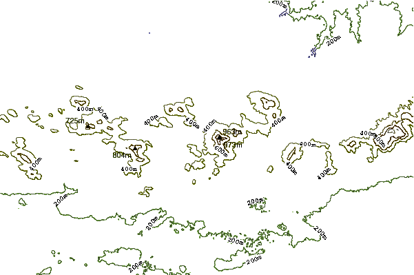
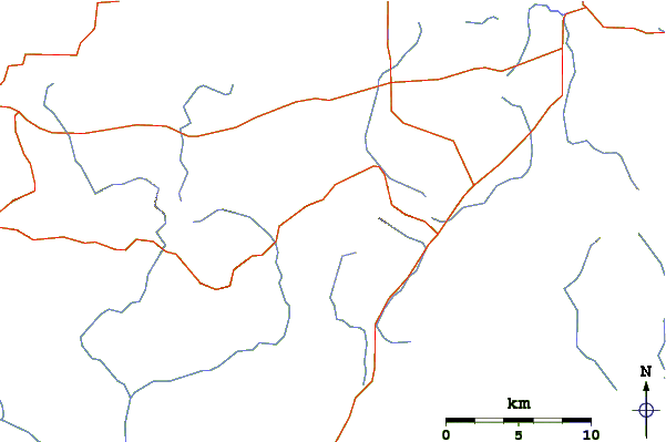
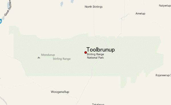
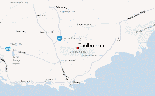
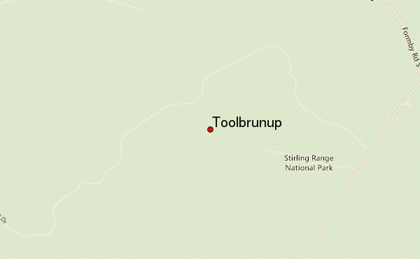
Use this relief map to navigate to mountain peaks in the area of Toolbrunup.
10 other mountain peaks closest to Toolbrunup:
| 1. | Bluff Knoll (1095 m) | 20.0 km |
| 2. | Mount Manypeaks (Western Australia) (565 m) | 60.8 km |
| 3. | West Mount Barren (372 m) | 128.9 km |
| 4. | Linga Longa Bike Park (309 m) | 195.6 km |
| 5. | Mount Cooke (Western Australia) (582 m) | 270.4 km |
| 6. | Mount Dale (546 m) | 298.5 km |
| 7. | Mount Lesueur (313 m) | 538.9 km |
| 8. | Mount Augustus (1106 m) | 1127.0 km |
| 9. | Mount Newman (1128 m) | 1237.1 km |
| 10. | Mount Meharry (1244 m) | 1271.7 km |
