– Lat/Long: 21.30° S 67.97° W
 Tomasamil – Climbing, Hiking & Mountaineering information

Tomasamil Guide
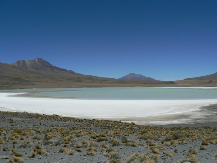
- Elevation: 5890
- Difficulty: -
- Best months to climb: -
- Convenient center: -
Tomasamil climbers NotesBe the first to submit your climbers note! Please submit any useful information about climbing Tomasamil that may be useful to other climbers. Consider things such as access and accommodation at the base of Tomasamil, as well as the logistics of climbing to the summit. |
| Select a
mountain summit from the menu |
||
|
Select a Mountain Summit
|
||
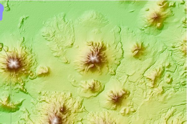
Use this relief map to navigate to mountain peaks in the area of Tomasamil.
10 other mountain peaks closest to Tomasamil:
| 1. | Cerro Cañapa (5882 m) | 19.6 km |
| 2. | Ollague (5869 m) | 22.1 km |
| 3. | Cerro San Agustin (4980 m) | 23.2 km |
| 4. | Cerro Araral (5688 m) | 40.2 km |
| 5. | Pastos Grandes Caldera (4600 m) | 42.6 km |
| 6. | Aucanquilcha (6176 m) | 52.9 km |
| 7. | Cerro Yumia (4050 m) | 53.3 km |
| 8. | Pampa Luxsar (5543 m) | 55.6 km |
| 9. | Cerro Del Azufre (5486 m) | 60.0 km |
| 10. | Palpana (6040 m) | 63.7 km |