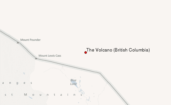
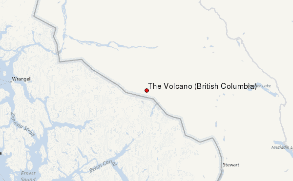
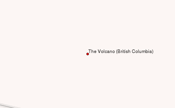
– Lat/Long: 56.42° N 130.85° W
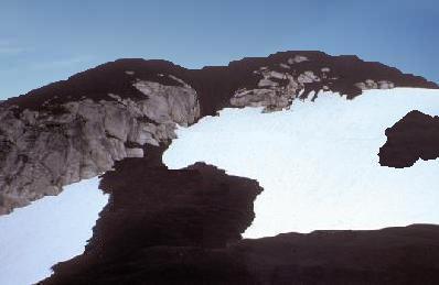
 The Volcano (British Columbia) – Climbing, Hiking & Mountaineering information

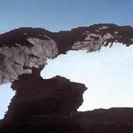
The Volcano (British Columbia) Guide
- Elevation: 1656
- Difficulty: -
- Best months to climb: -
- Convenient center: -
The Volcano (British Columbia) climbers NotesBe the first to submit your climbers note! Please submit any useful information about climbing The Volcano (British Columbia) that may be useful to other climbers. Consider things such as access and accommodation at the base of The Volcano (British Columbia), as well as the logistics of climbing to the summit. |
| Select a
mountain summit from the menu |
||
|
Select a Mountain Summit
|
||
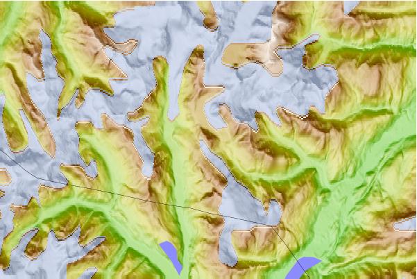
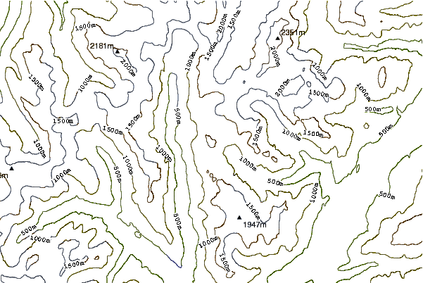
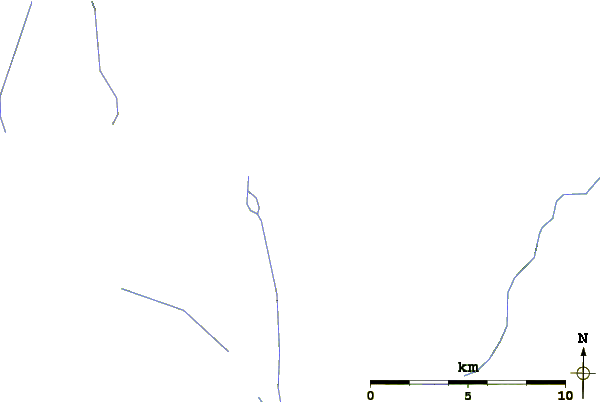
Use this relief map to navigate to mountain peaks in the area of The Volcano (British Columbia).
10 other mountain peaks closest to The Volcano (British Columbia):
| 1. | Seconed Canyon Cone (300 m) | 8.1 km |
| 2. | Cinder Mountain (300 m) | 22.0 km |
| 3. | Iskut-unuk River Cones (1880 m) | 25.4 km |
| 4. | Hoodoo Mountain (1820 m) | 47.7 km |
| 5. | Little Bear Mountain (1181 m) | 50.2 km |
| 6. | Iskut-Unuk River Cones (1880 m) | 52.7 km |
| 7. | Wetalth Ridge (1886 m) | 89.6 km |
| 8. | Nahta Cone (1690 m) | 98.5 km |
| 9. | Kates Needle (3063 m) | 100.6 km |
| 10. | Tadekho Hill (1876 m) | 103.2 km |