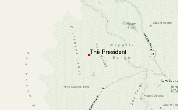
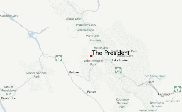
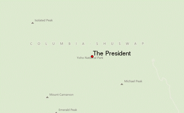
– Lat/Long: 51.50° N 116.55° W
 The President – Climbing, Hiking & Mountaineering information

The President Guide
- Elevation: 3123
- Difficulty: -
- Best months to climb: -
- Convenient center: -
The President climbers NotesBe the first to submit your climbers note! Please submit any useful information about climbing The President that may be useful to other climbers. Consider things such as access and accommodation at the base of The President, as well as the logistics of climbing to the summit. |
| Select a
mountain summit from the menu |
||
|
Select a Mountain Summit
|
||
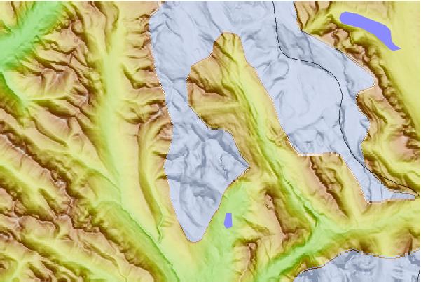
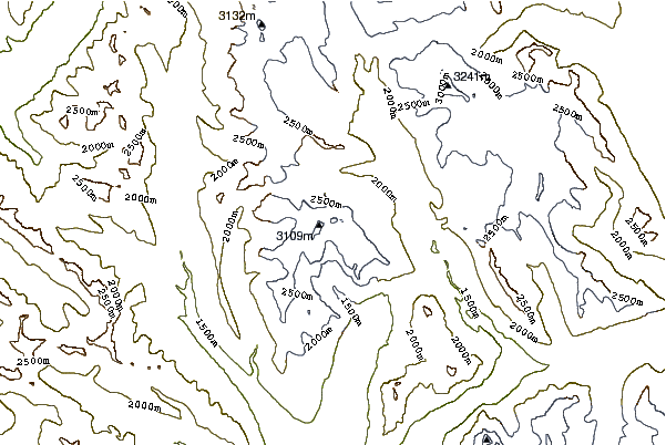
Use this relief map to navigate to mountain peaks in the area of The President.
10 other mountain peaks closest to The President:
| 1. | The Vice President (3077 m) | 0.2 km |
| 2. | The President (Alberta) (3138 m) | 0.6 km |
| 3. | Stanley Mitchell Hut (2046 m) | 3.0 km |
| 4. | Mount McArthur (British Columbia) (3021 m) | 5.5 km |
| 5. | Mount Balfour (3272 m) | 9.0 km |
| 6. | Mount Burgess (2599 m) | 9.4 km |
| 7. | Louise and Richard Guy Hut (2600 m) | 9.5 km |
| 8. | Mount Field (British Columbia) (2643 m) | 9.8 km |
| 9. | Scott Duncan Hut (2685 m) | 10.8 km |
| 10. | Mont des Poilus (3166 m) | 11.3 km |