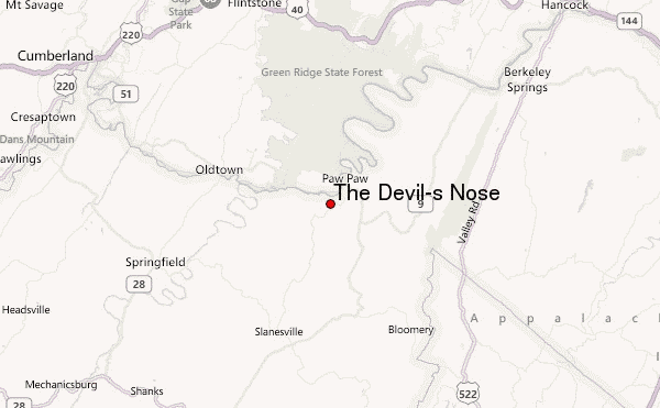
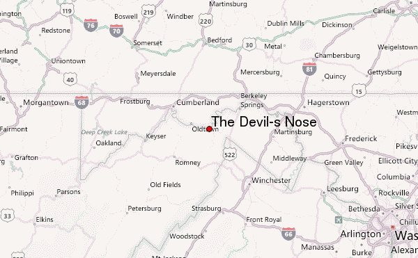
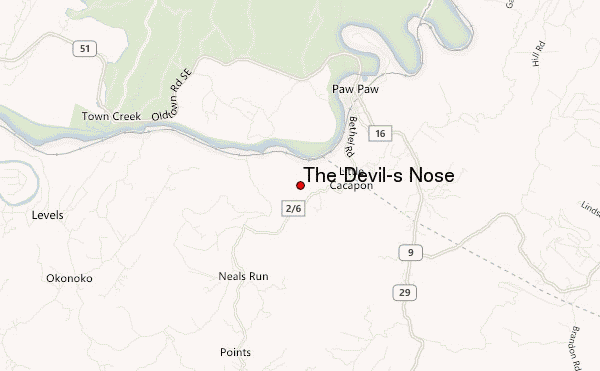
– Lat/Long: 39.51° N 78.48° W
 The Devil's Nose (The Devil-s Nose) – Climbing, Hiking & Mountaineering information

The Devil's Nose Guide
- Elevation: 341
- Difficulty: -
- Best months to climb: -
- Convenient center: -
The Devil's Nose climbers NotesBe the first to submit your climbers note! Please submit any useful information about climbing The Devil's Nose that may be useful to other climbers. Consider things such as access and accommodation at the base of The Devil's Nose, as well as the logistics of climbing to the summit. |
| Select a
mountain summit from the menu |
||
|
Select a Mountain Summit
|
||
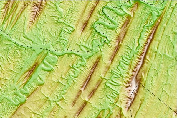
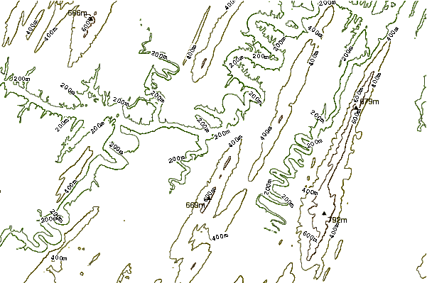
Use this relief map to navigate to mountain peaks in the area of The Devil's Nose.
10 other mountain peaks closest to The Devil's Nose:
| 1. | Spring Gap Mountain (682 m) | 5.7 km |
| 2. | Cacapon Mountain (798 m) | 13.2 km |
| 3. | Castle Mountain (Hampshire County, West Virginia) (1260 m) | 13.7 km |
| 4. | Tonoloway Ridge (394 m) | 14.7 km |
| 5. | Ice Mountain (1509 m) | 16.3 km |
| 6. | Warrior Mountain (666 m) | 17.6 km |
| 7. | Timber Ridge (413 m) | 20.4 km |
| 8. | Bear Garden Mountain (1566 m) | 21.0 km |
| 9. | Little Cacapon Mountain (480 m) | 21.1 km |
| 10. | Breakneck Hill (571 m) | 23.3 km |