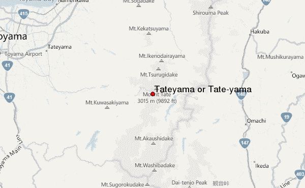
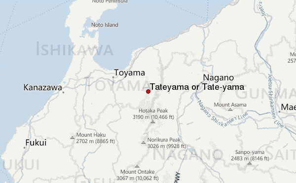
– Lat/Long: 36.57° N 137.60° E
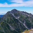
 Tateyama or Tate-yama – Climbing, Hiking & Mountaineering information

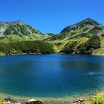
Tateyama or Tate-yama Guide
- Elevation: 3015
- Difficulty: Walk up
- Best months to climb: August, September, October
- Convenient center: Omachi, Nagano or Toyama City, Toyama
Tateyama or Tate-yama climbers NotesBe the first to submit your climbers note! Please submit any useful information about climbing Tateyama or Tate-yama that may be useful to other climbers. Consider things such as access and accommodation at the base of Tateyama or Tate-yama, as well as the logistics of climbing to the summit. |
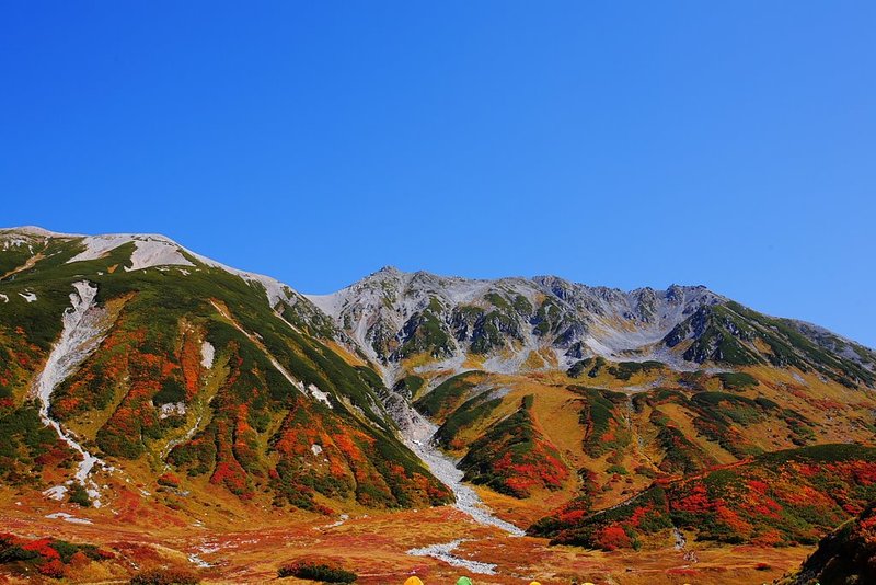
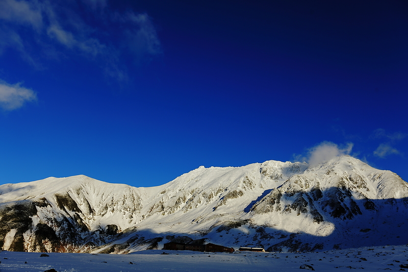
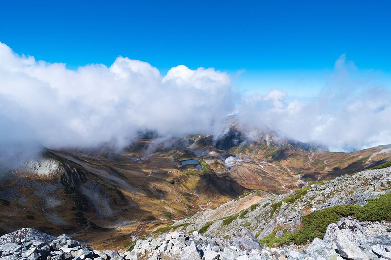
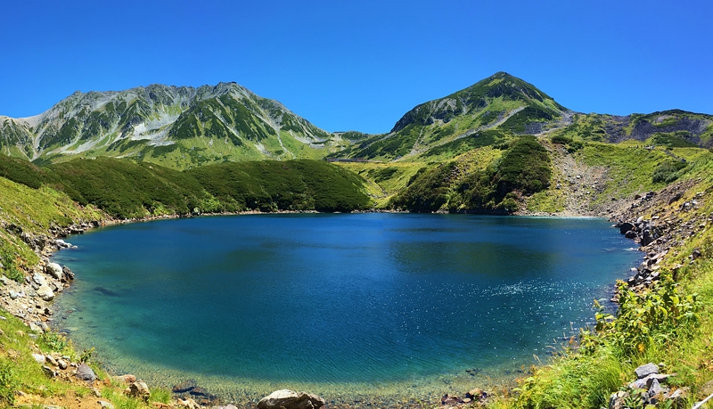
Latest Gallery Images for Tateyama or Tate-yama
| Select a
mountain summit from the menu |
||
|
Select a Mountain Summit
|
||
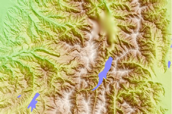

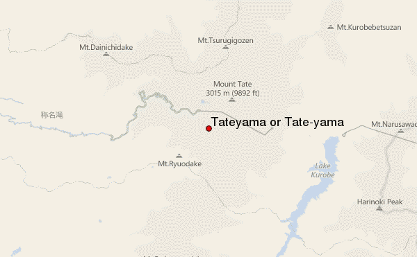
Use this relief map to navigate to mountain peaks in the area of Tateyama or Tate-yama.
10 other mountain peaks closest to Tateyama or Tate-yama:
| 1. | 五色ヶ原山荘 (2456 m) | 0.9 km |
| 2. | 天狗平山荘 (2424 m) | 1.0 km |
| 3. | 真砂沢ロッジ (2698 m) | 1.1 km |
| 4. | ホテル立山 (2412 m) | 1.4 km |
| 5. | 雷鳥沢ヒュッテ (2376 m) | 1.6 km |
| 6. | みくりが池温泉 (2279 m) | 1.9 km |
| 7. | 雷鳥沢キャンプ場 (2305 m) | 1.9 km |
| 8. | ロッジくろよん (2290 m) | 2.0 km |
| 9. | 大日平山荘 (2303 m) | 2.2 km |
| 10. | 一の越山荘 (2791 m) | 2.9 km |