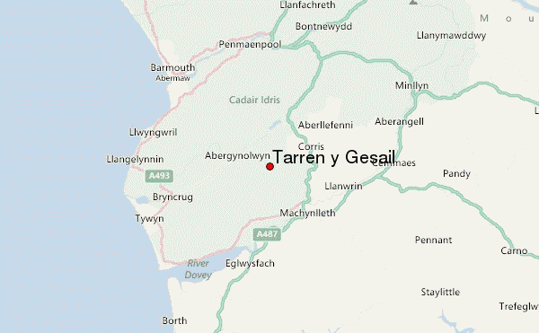
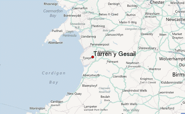
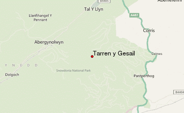
– Lat/Long: 52.64° N 3.91° W
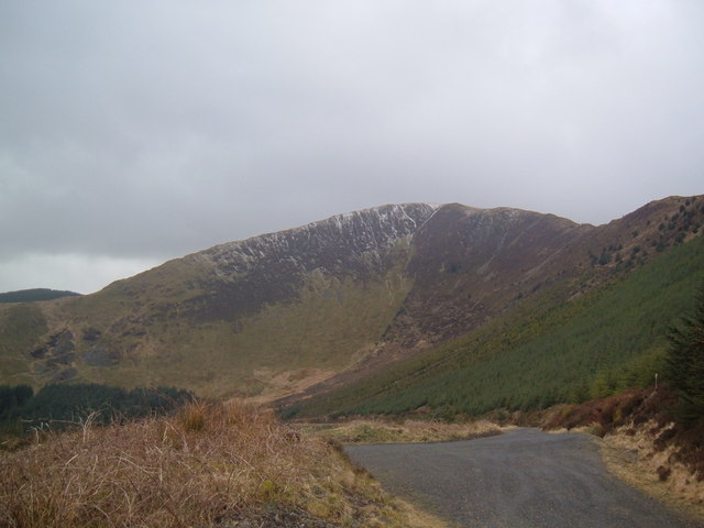
 Tarren y Gesail – Climbing, Hiking & Mountaineering information

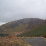
Tarren y Gesail Guide
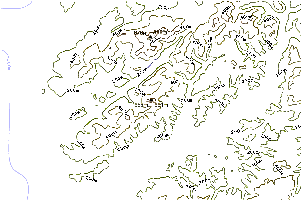
- Elevation: 667
- Difficulty: -
- Best months to climb: -
- Convenient center: -
Tarren y Gesail climbers NotesBe the first to submit your climbers note! Please submit any useful information about climbing Tarren y Gesail that may be useful to other climbers. Consider things such as access and accommodation at the base of Tarren y Gesail, as well as the logistics of climbing to the summit. |
| Select a
mountain summit from the menu |
||
|
Select a Mountain Summit
|
||
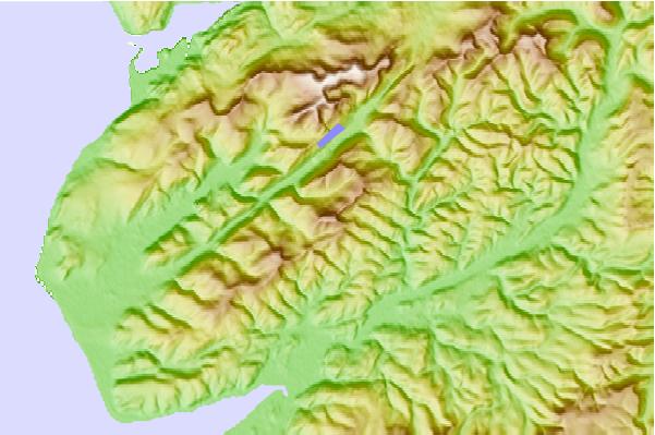
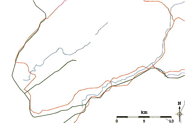
Use this relief map to navigate to mountain peaks in the area of Tarren y Gesail.
10 other mountain peaks closest to Tarren y Gesail:
| 1. | Tarrenhendre (634 m) | 3.2 km |
| 2. | Mynydd Moel (863 m) | 7.1 km |
| 3. | Gau Graig (683 m) | 7.1 km |
| 4. | Tyrrau Mawr (661 m) | 7.1 km |
| 5. | Craig y Llyn (622 m) | 7.1 km |
| 6. | Cyfrwy (811 m) | 7.1 km |
| 7. | Craig Cwm Amarch (791 m) | 7.1 km |
| 8. | Cadair Idris (893 m) | 7.2 km |
| 9. | Cadair Idris (Penygadair) summit shelter (890 m) | 7.2 km |
| 10. | Cader Idris (892 m) | 7.2 km |