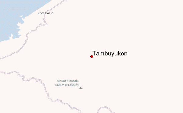
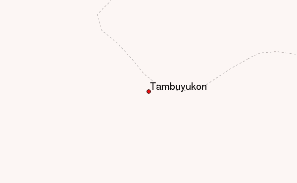
– Lat/Long: 6.22° N 116.65° E
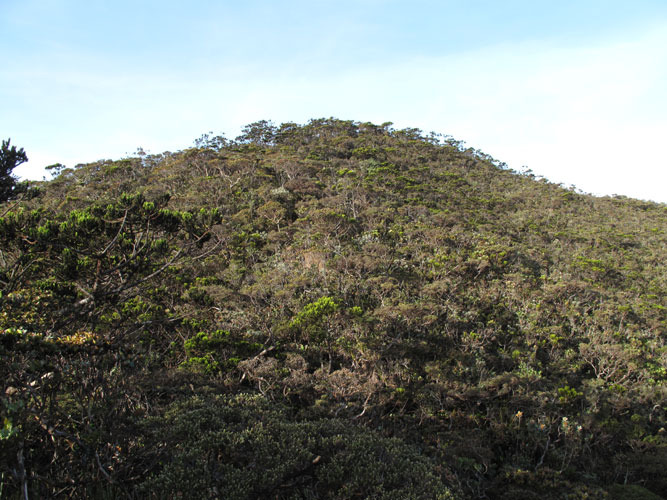
 Tambuyukon – Climbing, Hiking & Mountaineering information

Tambuyukon Guide
- Elevation: 2579
- Difficulty: Scramble
- Best months to climb: -
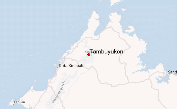
- Convenient center: Ranau
Tambuyukon climbers NotesBe the first to submit your climbers note! Please submit any useful information about climbing Tambuyukon that may be useful to other climbers. Consider things such as access and accommodation at the base of Tambuyukon, as well as the logistics of climbing to the summit. |
| Select a
mountain summit from the menu |
||
|
Select a Mountain Summit
|
||
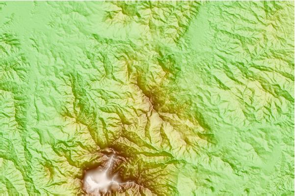
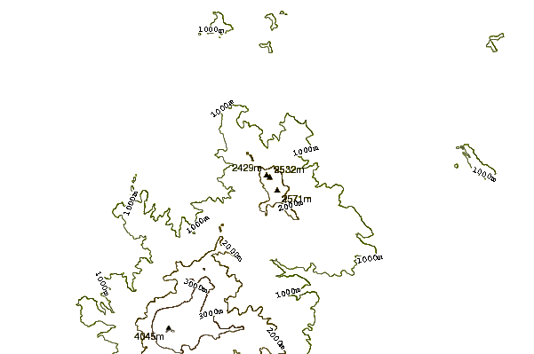
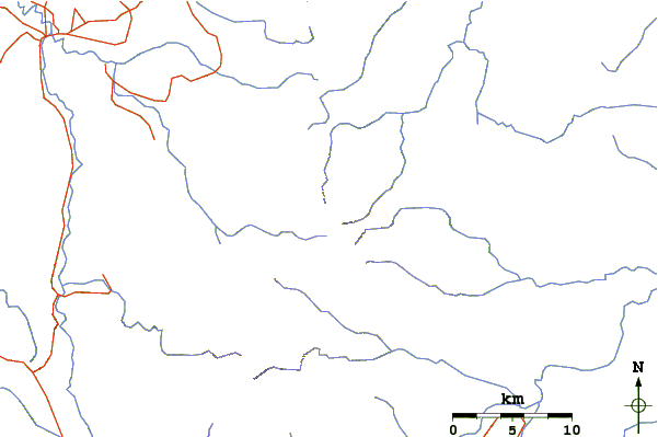
Use this relief map to navigate to mountain peaks in the area of Tambuyukon.
10 other mountain peaks closest to Tambuyukon:
| 1. | Mount Kinabalu (4102 m) | 18.5 km |
| 2. | Trus Madi (2642 m) | 75.6 km |
| 3. | Bombalai Hill (531 m) | 243.8 km |
| 4. | Bukit Pagon (1850 m) | 258.5 km |
| 5. | Mount Murud Sarawak (2423 m) | 293.7 km |
| 6. | Bukit Batu Lawi (2046 m) | 296.8 km |
| 7. | Mount Benarat (1585 m) | 299.7 km |
| 8. | Gunung Api (1750 m) | 304.9 km |
| 9. | Gunung Mulu (2376 m) | 307.2 km |
| 10. | Mount Mantalingajan (2085 m) | 310.6 km |