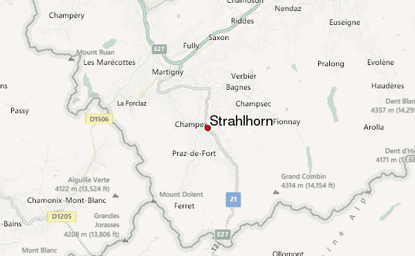
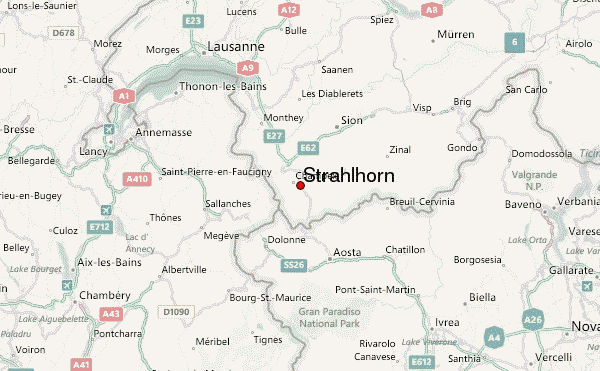
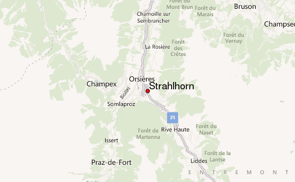
– Lat/Long: 46.02° N 7.15° E
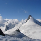
 Strahlhorn – Climbing, Hiking & Mountaineering information

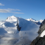
Strahlhorn Guide
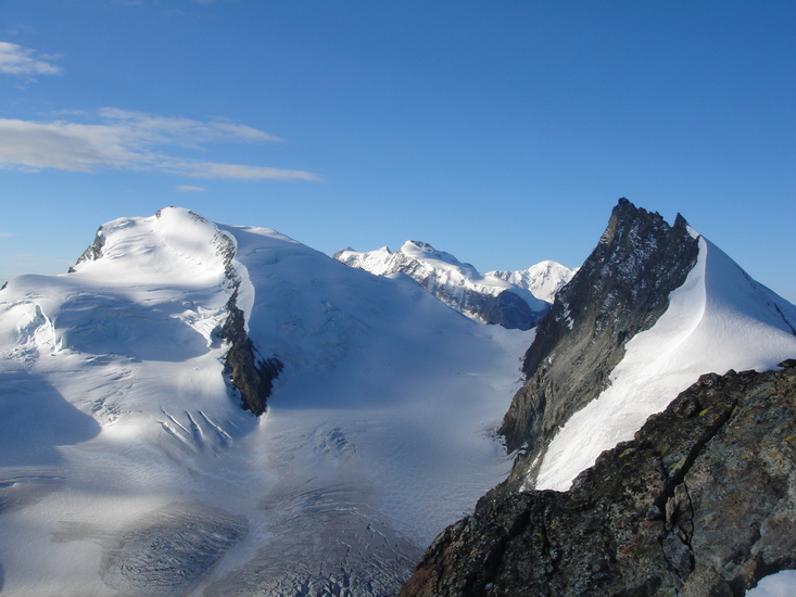
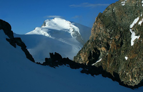
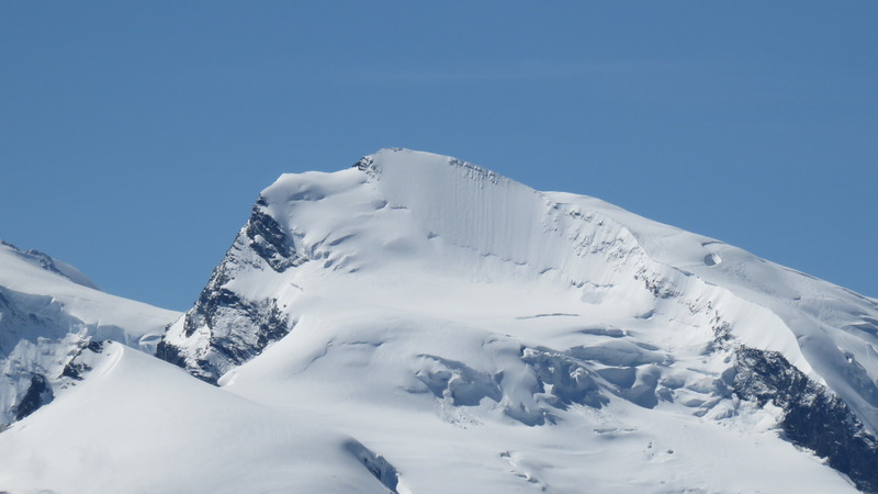
- Elevation: 4190
- Difficulty: Basic Snow and Ice Climb
- Best months to climb: -
- Convenient center: Saas-Fee, Saas Almagell, Tsch
Strahlhorn climbers NotesBe the first to submit your climbers note! Please submit any useful information about climbing Strahlhorn that may be useful to other climbers. Consider things such as access and accommodation at the base of Strahlhorn, as well as the logistics of climbing to the summit. |
| Select a
mountain summit from the menu |
||
|
Select a Mountain Summit
|
||
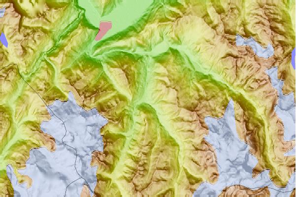
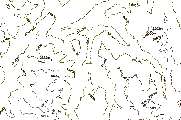
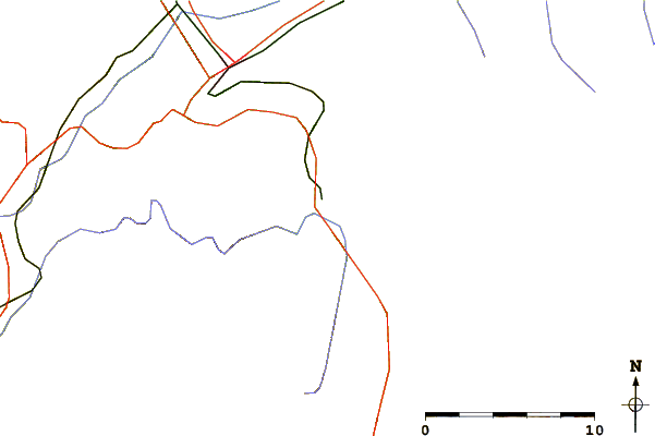
Use this relief map to navigate to mountain peaks in the area of Strahlhorn.
10 other mountain peaks closest to Strahlhorn:
| 1. | Six Blanc (2445 m) | 3.0 km |
| 2. | La Breya (2194 m) | 3.7 km |
| 3. | Le Relais d'Arpette (1627 m) | 4.5 km |
| 4. | Le Catogne (2598 m) | 4.5 km |
| 5. | Cabane du Col de Mille (2473 m) | 4.5 km |
| 6. | Le Châtelet (Mont Blanc) (2537 m) | 4.8 km |
| 7. | Le Châtelet (mountain) (2537 m) | 4.8 km |
| 8. | Mont Rogneux (3084 m) | 6.5 km |
| 9. | Cabane d'Orny CAS (2826 m) | 7.2 km |
| 10. | Crêta de Vella (2519 m) | 7.5 km |