– Lat/Long: 47.74° N 121.09° W
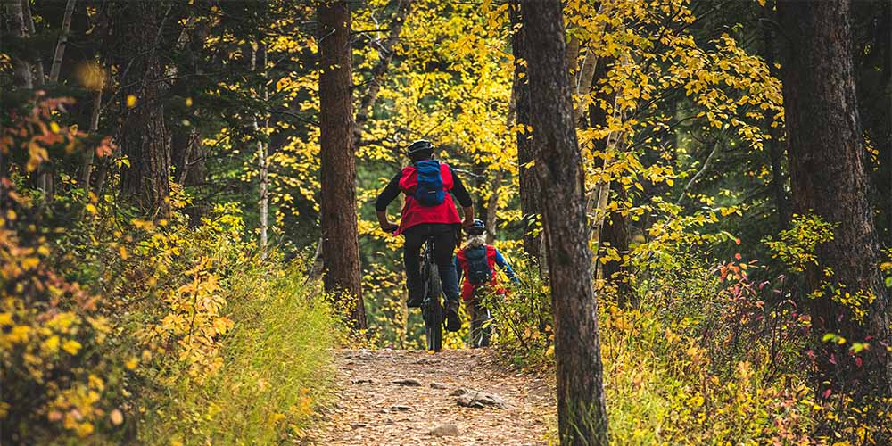
 Stevens Pass Resort Bike Park
Weather Forecast, United StatesIssued: 4 pm Sun 24 May Local TimeUpdates in: hr min sUpdate imminent
Issued: 4 pm Sun 24 May Local Time
Updates in:
Update imminent hr min s

Issued: 4 pm Sun 24 May Local Time
Updates in:
Update imminent hr min s
Days 1–4 Weather SummaryA dusting of new snow. Freeze-thaw conditions (max 12°C on Sun afternoon, min 0°C on Mon night). Wind will be generally light. | Days 5–7 Weather SummarySome drizzle, heaviest during Fri night. Very mild (max 14°C on Thu afternoon, min 1°C on Fri night). Wind will be generally light. | ||||||||||||||||
Sun 24 | Monday 25 | Tuesday 26 | Wednesday 27 | Thursday 28 | Friday 29 | ||||||||||||
PM | night | AM | PM | night | AM | PM | night | AM | PM | night | AM | PM | night | AM | PM | night | |
clear | some clouds | cloudy | light rain | light snow | light snow | cloudy | cloudy | cloudy | some clouds | clear | clear | some clouds | some clouds | cloudy | light rain | light rain | |
km/h | |||||||||||||||||
 |  |  |  |  |  | ||||||||||||
— | — | — | — | 1 | 3 | — | — | — | — | — | — | — | — | — | — | — | |
— | — | — | 0.5 | — | — | — | — | — | — | — | — | — | — | — | 0.1 | 1.5 | |
max °C | 12 | 10 | 7 | 7 | 2 | 0 | 1 | 3 | 6 | 12 | 11 | 12 | 14 | 11 | 5 | 6 | 3 |
min °C | 11 | 6 | 6 | 5 | 0 | 0 | 1 | 2 | 3 | 11 | 7 | 8 | 14 | 6 | 5 | 5 | 1 |
9 | 3 | 5 | 2 | -2 | 0 | 1 | 2 | 1 | 11 | 6 | 8 | 13 | 4 | 3 | 2 | -2 | |
3200 | 3150 | 2550 | 2400 | 1750 | 1700 | 2000 | 3350 | 3450 | 3450 | 3500 | 3600 | 3750 | 3800 | 3250 | 2850 | 2550 | |
Cloud base (m) | 9150 | 6350 | 2350 | 2300 | 850 | 900 | 900 | 1450 | 1650 | 2950 | 2700 | 900 | 2750 | 850 | 1600 | 2050 | 900 |
— | — | 5:15 | — | — | 5:13 | — | — | 5:13 | — | — | 5:11 | — | — | 5:11 | — | — | |
— | 8:46 | — | — | 8:47 | — | — | 8:49 | — | — | 8:50 | — | — | 8:51 | — | — | 8:52 | |
Loading...
Stevens Pass Resort Weather (Days 0-3):
The weather forecast for Stevens Pass Resort is: A dusting of new snow. Freeze-thaw conditions (max 12°C on Sun afternoon, min 0°C on Mon night). Wind will be generally light.
Stevens Pass Resort Weather (Days 3-6):
Some drizzle, heaviest during Fri night. Very mild (max 14°C on Thu afternoon, min 1°C on Fri night). Wind will be generally light.
This table gives the weather forecast for Stevens Pass Resort at the specific elevation of 1689 m. Our advanced weather models allow us to provide distinct weather forecasts for several elevations of Stevens Pass Resort. To see the weather forecasts for the other elevations, use the tab navigation above the table. For a wider overview of the weather, consult the Weather Map of Washington.