– Lat/Long: 50.74° N 15.74° E
 Snezka or Sněžka (Snezka or Snezka)
Weather Forecast, Czech RepublicIssued: 6 am Mon 03 Aug Local TimeUpdates in: hr min sUpdate imminent
Issued: 6 am Mon 03 Aug Local Time
Updates in:
Update imminent hr min s

Issued: 6 am Mon 03 Aug Local Time
Updates in:
Update imminent hr min s
Days 1–3 Weather SummaryLight rain (total 2mm), mostly falling on Wed night. Warm (max 29°C on Tue afternoon, min 21°C on Mon morning). Wind will be generally light. | Days 4–6 Weather SummaryHeavy rain (total 24mm), heaviest during Thu night. Warm (max 23°C on Thu afternoon, min 12°C on Fri night). Wind will be generally light. | |||||||||||||||||
Monday 3 | Tuesday 4 | Wednesday 5 | Thursday 6 | Friday 7 | Saturday 8 | |||||||||||||
AM | PM | night | AM | PM | night | AM | PM | night | AM | PM | night | AM | PM | night | AM | PM | night | |
clear | clear | risk tstorm | risk tstorm | rain shwrs | clear | clear | rain shwrs | rain shwrs | risk tstorm | risk tstorm | heavy rain | clear | some clouds | clear | some clouds | clear | clear | |
Cloud base (m) | 9550 | 4650 | 3250 | 4200 | 8750 | 2700 | 9150 | 2150 | 6200 | 1550 | 6050 | 9000 | 2500 | |||||
km/h | ||||||||||||||||||
 |  |  |  |  |  | |||||||||||||
— | — | — | — | — | — | — | — | — | — | — | — | — | — | — | — | — | — | |
mm | — | — | 0.2 | 0.1 | 0.1 | — | — | 0.2 | 1.9 | 2 | 0.9 | 21 | — | — | — | — | — | — |
max °C | 23 | 25 | 24 | 27 | 29 | 26 | 26 | 26 | 22 | 21 | 23 | 19 | 16 | 16 | 13 | 17 | 17 | 16 |
min °C | 21 | 23 | 22 | 25 | 26 | 24 | 25 | 23 | 21 | 21 | 20 | 13 | 14 | 14 | 12 | 15 | 16 | 15 |
chill °C | 21 | 23 | 22 | 25 | 26 | 24 | 25 | 23 | 21 | 21 | 20 | 11 | 13 | 13 | 12 | 15 | 16 | 15 |
Freezing level m | 4250 | 4200 | 4350 | 4350 | 4450 | 4550 | 4500 | 4400 | 4400 | 4150 | 4300 | 4000 | 3600 | 3550 | 3150 | 3400 | 3600 | 3700 |
4:26 | — | — | 4:26 | — | — | 4:28 | — | — | 4:30 | — | — | 4:31 | — | — | 4:33 | — | — | |
— | 7:38 | — | — | 7:37 | — | — | 7:35 | — | — | 7:34 | — | — | 7:31 | — | — | 7:30 | — | |
Loading...
Snezka or Sněžka Weather (Days 0-3):
The weather forecast for Snezka or Sněžka is: Light rain (total 2mm), mostly falling on Wed night. Warm (max 29°C on Tue afternoon, min 21°C on Mon morning). Wind will be generally light.
Snezka or Sněžka Weather (Days 3-6):
Heavy rain (total 24mm), heaviest during Thu night. Warm (max 23°C on Thu afternoon, min 12°C on Fri night). Wind will be generally light.
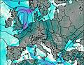
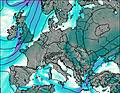
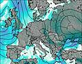
This table gives the weather forecast for Snezka or Sněžka at the specific elevation of 1000 m. Our advanced weather models allow us to provide distinct weather forecasts for several elevations of Snezka or Sněžka. To see the weather forecasts for the other elevations, use the tab navigation above the table. For a wider overview of the weather, consult the Weather Map of Czech Republic.
| Weather Station | Temp. | Weather | Wind | Gusts | Cloud / Visibility |
|---|---|---|---|---|---|
Sniezka | |||||
Pec Pod Snezkou | |||||
Jelenia Gora | |||||
Zvíčina PG | |||||
Legnica | |||||
* NOTE: not all weather observatories update at the same frequency which is the reason why some locations may show data from stations that are further away than known closer ones.
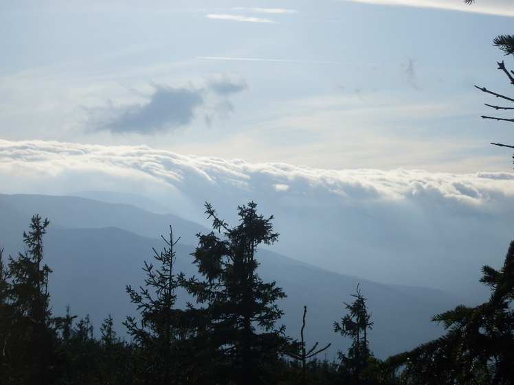
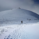
Snezka or Sněžka Photos
View all
Karkonosze Mountains photos (16) |
Eastern Europe Ranges photos (46) |
photos from mountains in Czech Republic (30) |
all photos
 Upload new photo
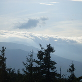
 See 16 more Snezka or Sněžka photos
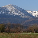
view on Snezka from Sklanik (Poland)
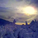
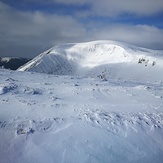
Kraina sniegu.
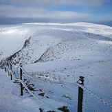
Śniezka 1
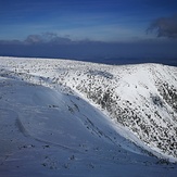
Śniezka 1
Śniezka 1
Śniezka 1