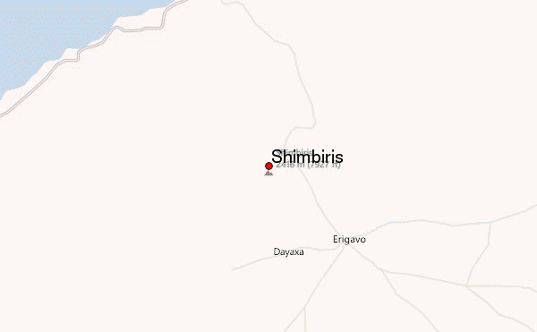
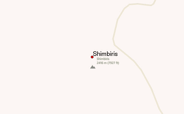
Shimbiris Guide
- Elevation: 2450
- Difficulty: -
- Best months to climb: -
- Convenient center: -
Shimbiris climbers Notes
Abdikadir Ahmed from SOMALIA writes:
I was born and brought up in Shimbiris. It is not a part of Calmadow but it is a part of Surud mountain. This is not the highest peak but Guribore which is white breast shaped hill on top Mount Sheba is much higher than Shimbiris. This mountain is situated only 13 km to the west of Shimbiris. You can not travel to both places by car but you must walk several kilometers from the nearest location where you get off the vehicle. There are no tourism accommodations but you can put up your tent in the forest or stay at night with the local people if you are afraid of the tigers. There are no special logistics for the visitors can take. This is a sacred land where uncountable medicine trees are grown. The visitors enjoy to chop a piece of Maqari stick used for scaring insects and protection against bites of the poisonous snakes. As you take the stick by the hand, the snakes wont come near you.
2015-10-03 |
Click here to submit your own climbing note for Shimbiris
|
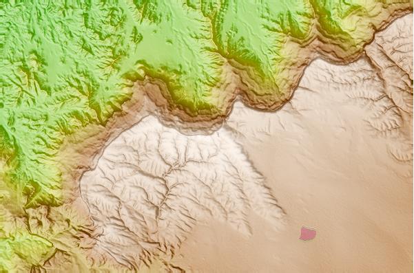
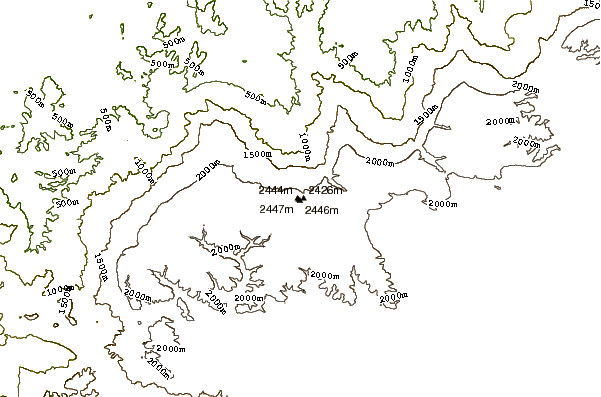
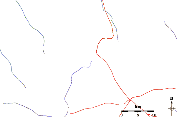
Select Shimbiris Location Map Detail:
Use this relief map to navigate to mountain peaks in the area of Shimbiris.
10 other mountain peaks closest to Shimbiris:
 Shimbiris – Climbing, Hiking & Mountaineering information
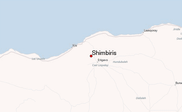