– Lat/Long: 46.80° N 10.96° E
 Schalfkogel – Climbing, Hiking & Mountaineering information

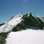
Schalfkogel Guide
- Elevation: 3540
- Difficulty: Scramble
- Best months to climb: June, July, August
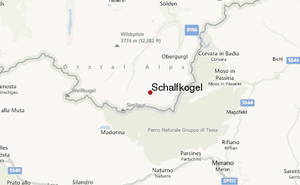
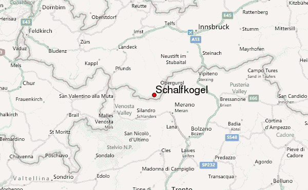
- Convenient center: Obergurgl
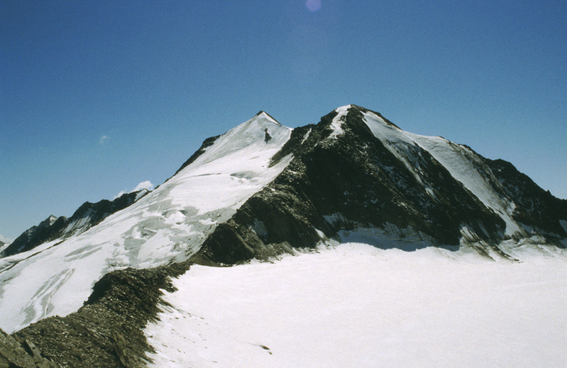
The Schalfkogel is located in the Otztaler Alpen near the Hochwildehaus. It's not very hard to climb the mountain, but for a beginning alpinist it's a nice challenge. I climbed the mountain when I was 15 and I really enyoyed it.
Schalfkogel climbers NotesBe the first to submit your climbers note! Please submit any useful information about climbing Schalfkogel that may be useful to other climbers. Consider things such as access and accommodation at the base of Schalfkogel, as well as the logistics of climbing to the summit. |
| Select a
mountain summit from the menu |
||
|
Select a Mountain Summit
|
||
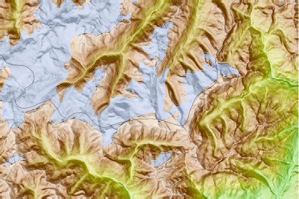
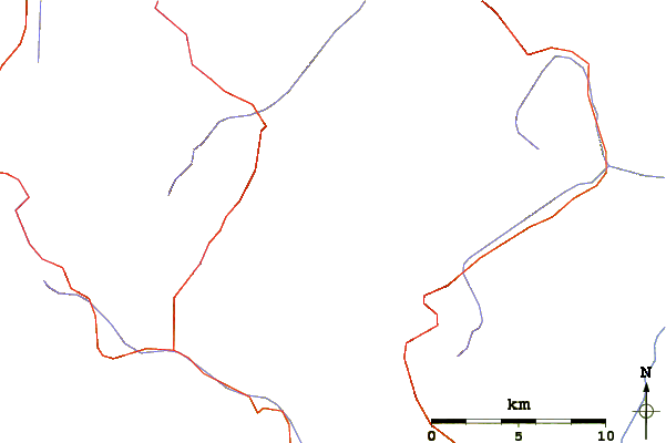
Use this relief map to navigate to mountain peaks in the area of Schalfkogel.
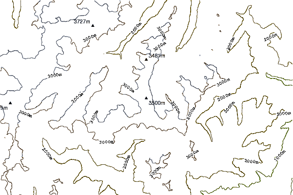
10 other mountain peaks closest to Schalfkogel:
| 1. | Firmisanschneide (3491 m) | 2.0 km |
| 2. | Hochwildehaus (2885 m) | 2.3 km |
| 3. | Spiegelkogel (3426 m) | 3.0 km |
| 4. | Karlesspitze (3465 m) | 3.6 km |
| 5. | Mutmalspitze (3522 m) | 4.4 km |
| 6. | Hintere Schwärze (3628 m) | 4.7 km |
| 7. | Marzellspitze (3555 m) | 5.0 km |
| 8. | Ramolkogel (3549 m) | 5.4 km |
| 9. | Martin-Busch-Hütte (Samoarhütte) (2501 m) | 5.5 km |
| 10. | Hochwilde (3482 m) | 6.4 km |