Joe from UNITED STATES writes:
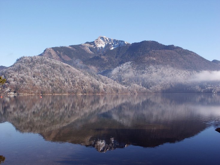
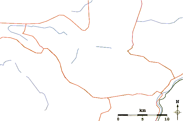
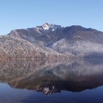
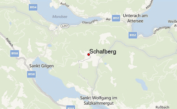
Route up from Mondsee/Attersee side has several starting points, all of which take you in 45 min-2 hours to the Eisenau, depending on where you start from. There is a family dairy farm (Alm) there where you can get something to eat, use a toilet, get water, etc. Views are nice all the way up. Then you walk through their fields and into the woods. In another hour you reach the base of the cliff, where there is a small shelter overlooking a lake about 200 meters below. The trail then ascends and traverses below the cliff for a while. Then it turns up and becomes steep, taking you up the cliff through the Himmelspforte ("heavenly gate"). This part of the trail is somewhat challenging, and is DANGEROUS in bad weather or after a rainstorm. If there is any ice at all, do not attempt without proper gear and training.
If you are new to climbing, do not go without an experienced guide. The footing can be difficult and it is steep enough that a fall can be deadly. There are iron cables in some of the most difficult places, but by no means all. If you are afraid of heights or falling, you will not enjoy this at all. For those with reasonable hiking experience, this is a very enjoyable challenge. No technical gear is needed. From the Himmelspforte, it is an easy 5 minutes to the summit, where there is a hotel and restaurant. Time from the shelter to the summit is about 1.25 hours (the sign at the shelter says 45 minutes, which an experienced hiker in good condition can do in good weather). There is a cog railway down the other side, to St. Wolfgang, as well as many less-challenging trails on that side.
--jh--
2012-09-09 |
 Schafberg – Climbing, Hiking & Mountaineering information