Sawtooth Peak Guide
- Elevation: 3762
- Difficulty: -
- Best months to climb: -
- Convenient center: -
Sawtooth Peak climbers Notes
Eric from UNITED STATES writes:
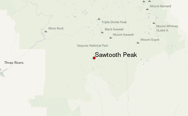
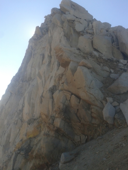
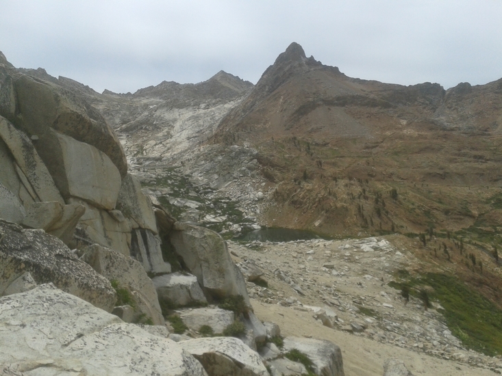
Well marked and relatively well traveled trail. The first mile is the toughest part of the trek to the Monarch Lakes and the pass/peak. It is stair stepped in parts using wooden (maybe) 12x12s. It’s a fairly steep trek. Come to a small hill side meadow and then the trail becomes a true wooded trail all the way up to the tree line. Once you get to lower Monarch if you are continuing to the pass, it’s a very tough decomposed granite screed slog for maybe 400 vertical feet possibly more. It is tough going, especially with a full pack! Well worth it as the view is beautiful and fishing in the lakes on the back side is pretty amazing!
2022-08-06 |
Click here to submit your own climbing note for Sawtooth Peak
|
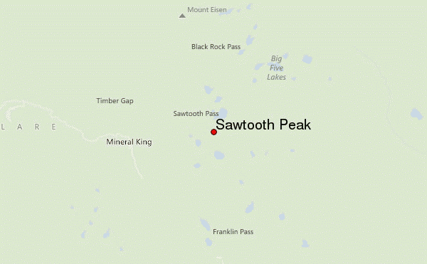
Select Sawtooth Peak Location Map Detail:
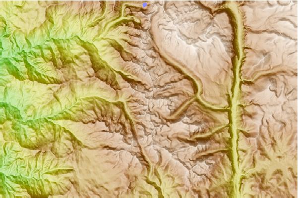
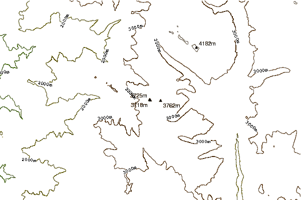
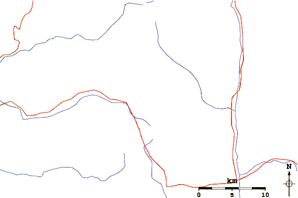
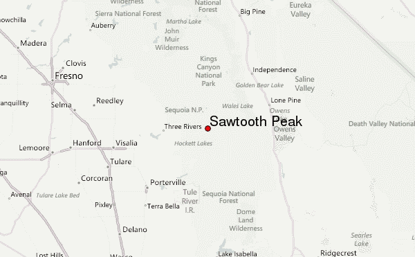
Use this relief map to navigate to mountain peaks in the area of Sawtooth Peak.
10 other mountain peaks closest to Sawtooth Peak:
 Sawtooth Peak – Climbing, Hiking & Mountaineering information
