– Lat/Long: 4.82° N 75.37° W
 Santa Isabel (volcano) – Climbing, Hiking & Mountaineering information

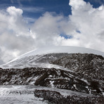
Santa Isabel (volcano) Guide
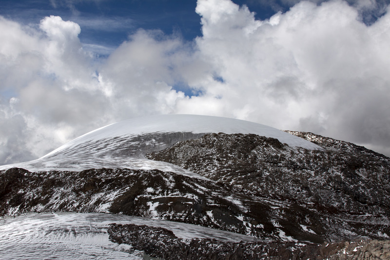
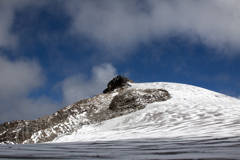
- Elevation: 4950
- Difficulty: -
- Best months to climb: December, January, February, March
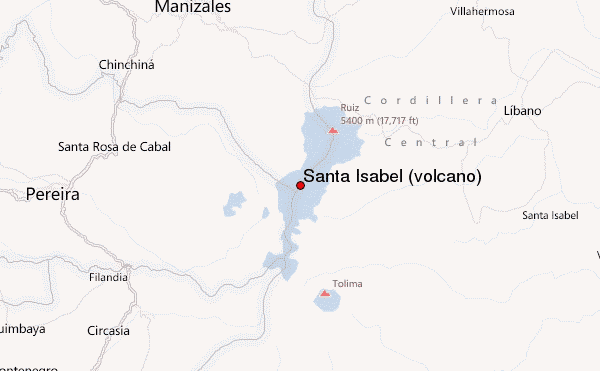
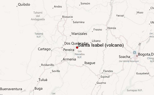
- Convenient center: Manizales, Colombia, (northeast of the mountain)
Santa Isabel (volcano) climbers NotesBe the first to submit your climbers note! Please submit any useful information about climbing Santa Isabel (volcano) that may be useful to other climbers. Consider things such as access and accommodation at the base of Santa Isabel (volcano), as well as the logistics of climbing to the summit. |
| Select a
mountain summit from the menu |
||
|
Select a Mountain Summit
|
||
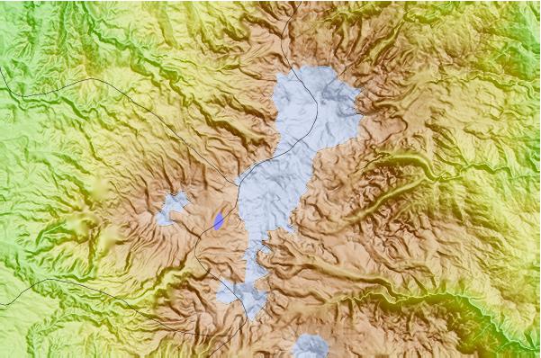
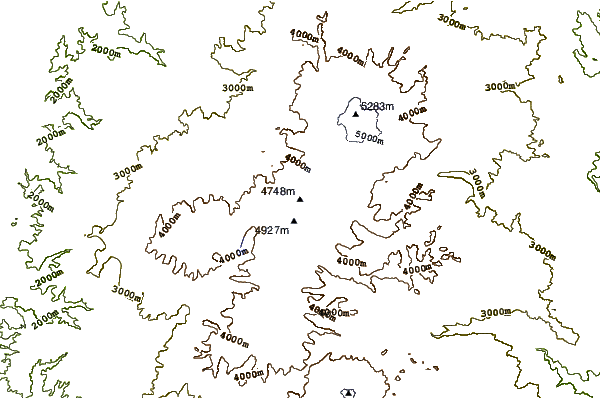
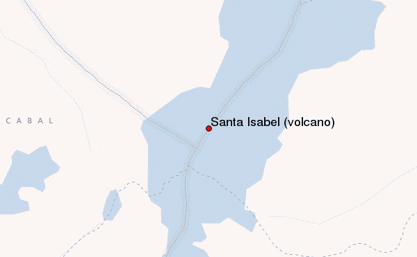
Use this relief map to navigate to mountain peaks in the area of Santa Isabel (volcano).
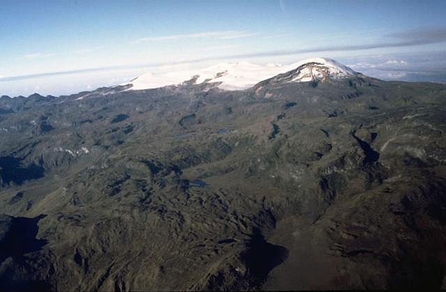
10 other mountain peaks closest to Santa Isabel (volcano):
| 1. | Nevado El Cisne (4636 m) | 5.9 km |
| 2. | Nevado del Ruiz (5320 m) | 9.8 km |
| 3. | Nevado del Quindío (5150 m) | 11.6 km |
| 4. | Nevado del Tolima (5215 m) | 17.3 km |
| 5. | Cerro Bravo (4000 m) | 31.3 km |
| 6. | Cerro Machin (2650 m) | 38.0 km |
| 7. | Romeral (volcano) (3858 m) | 43.0 km |
| 8. | Monserrate (3152 m) | 147.9 km |
| 9. | El Peñon de Guatape (monolith) (200 m) | 159.7 km |
| 10. | Pico Pance (4105 m) | 219.7 km |