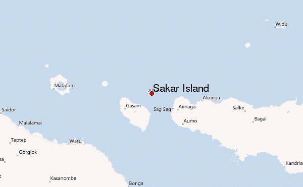
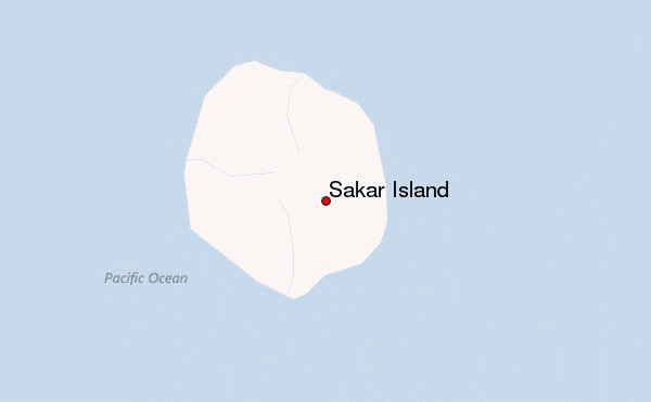
Sakar Island Guide
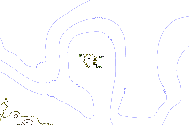
- Elevation: 992
- Difficulty: -
- Best months to climb: -
- Convenient center: -
Sakar Island climbers Notes
Darius Loth from PAPUA NEW GUINEA writes:
I am a local from Sakar Island. My home basically has:
1. Water Supply
2. Village Huts & pit toilets
3. Local Food & protein (in abundance)
4. Local guides (young boys)
Shipping service to Sakar on a monthly basis and weekly on the main Umboi Island then by dinghy for 11/2 hrs to Sakar Island.
All you need is:
Sleeping bag, toiletries, torch and batteries, climbing gear etc.
For more information, I can be contacted on the above email address.
2022-05-10 |
Click here to submit your own climbing note for Sakar Island
|
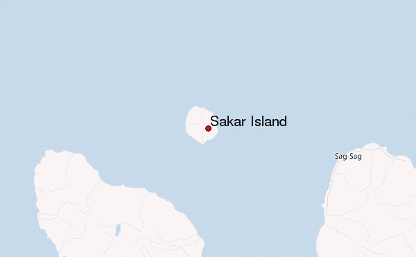
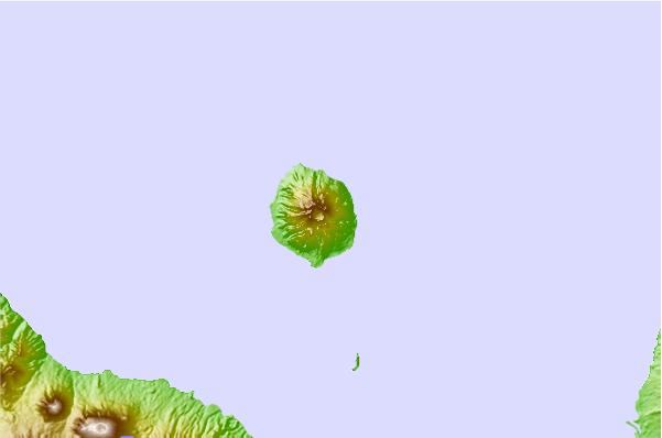
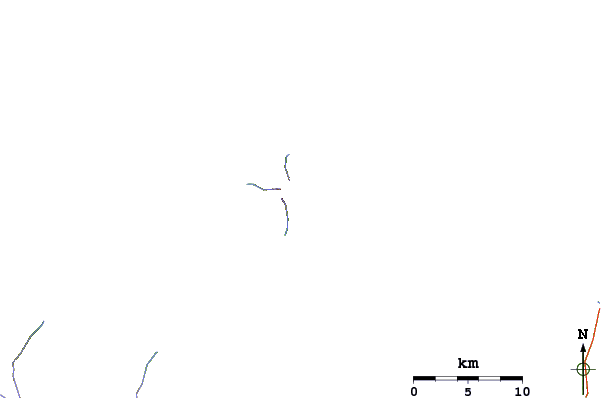
Select Sakar Island Location Map Detail:
Use this relief map to navigate to mountain peaks in the area of Sakar Island.
10 other mountain peaks closest to Sakar Island:
 Sakar Island – Climbing, Hiking & Mountaineering information