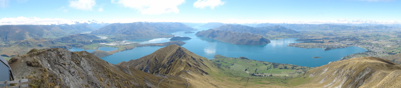
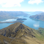
Roys Peak Guide
- Elevation: 1578
- Difficulty: -
- Best months to climb: -
- Convenient center: -
Roys Peak climbers Notes
LAURA HUSSEY from NEW ZEALAND writes:
Hello my names Laura, just wondering if Roys Peak is safe to hike this weekend. I was hoping to do a midwinter hike up but would like to ask if its safe or not because of the snowy weather. plan to hike Roys Peak 10th Saturday.
Thank you
2019-08-04 |
Click here to submit your own climbing note for Roys Peak
|
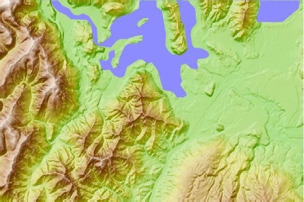
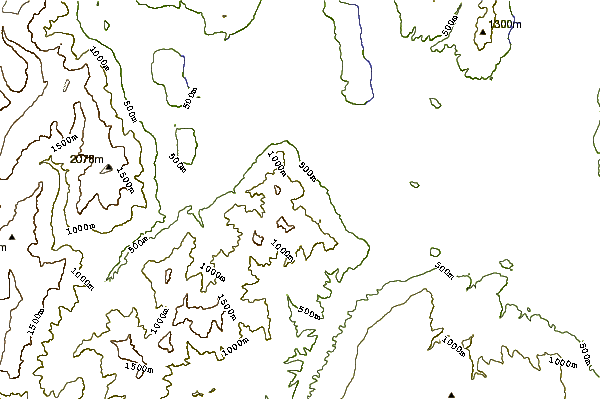
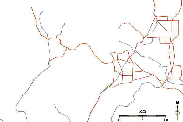
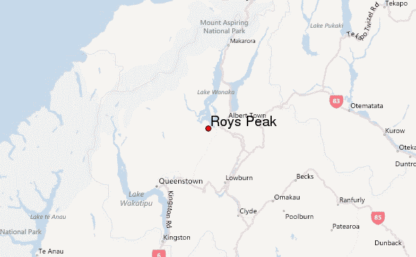
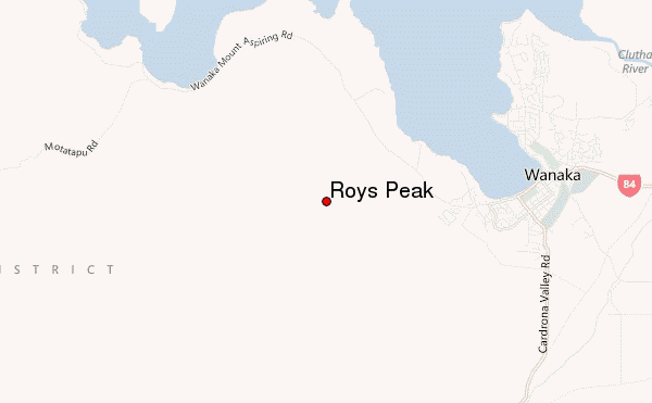
Select Roys Peak Location Map Detail:
Use this relief map to navigate to mountain peaks in the area of Roys Peak.
10 other mountain peaks closest to Roys Peak:
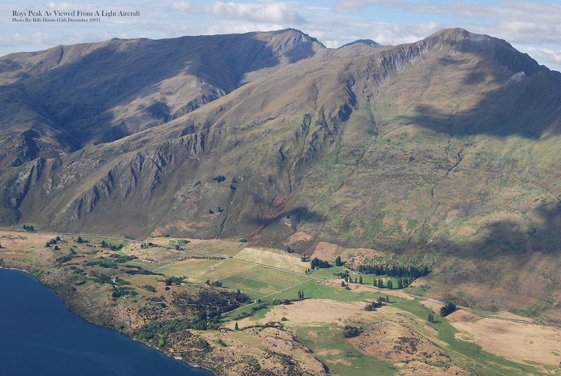
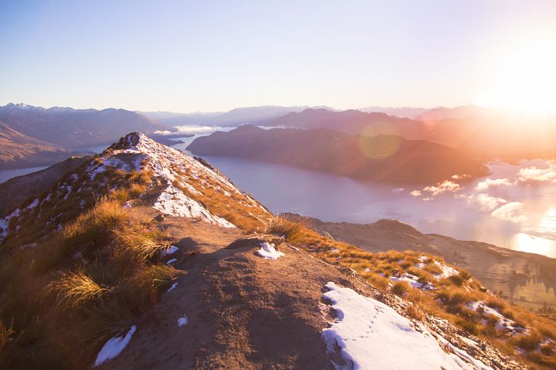
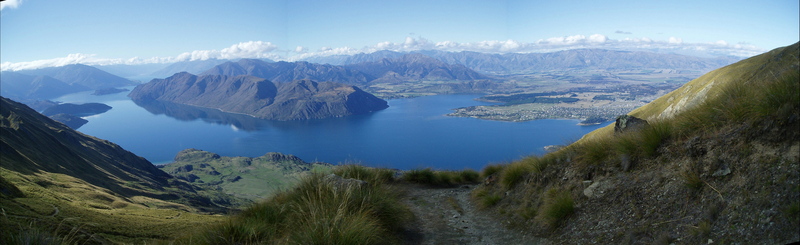
 Roys Peak – Climbing, Hiking & Mountaineering information