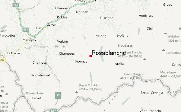
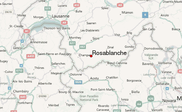
– Lat/Long: 46.05° N 7.35° E
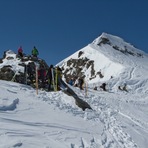
 Rosablanche – Climbing, Hiking & Mountaineering information

Rosablanche Guide
- Elevation: 3336
- Difficulty: -
- Best months to climb: -
- Convenient center: -
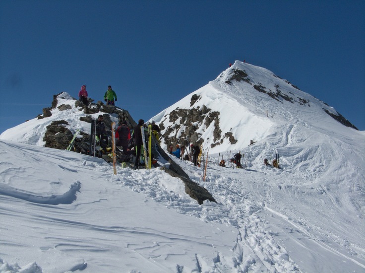
Rosablanche climbers NotesBe the first to submit your climbers note! Please submit any useful information about climbing Rosablanche that may be useful to other climbers. Consider things such as access and accommodation at the base of Rosablanche, as well as the logistics of climbing to the summit. |
| Select a
mountain summit from the menu |
||
|
Select a Mountain Summit
|
||
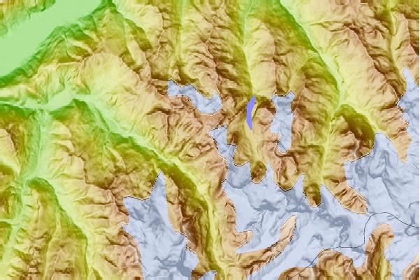

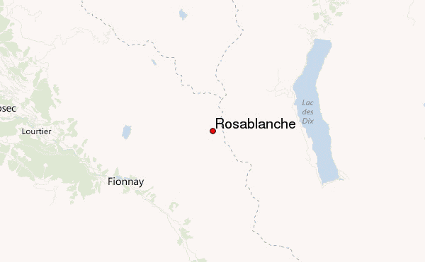
Use this relief map to navigate to mountain peaks in the area of Rosablanche.
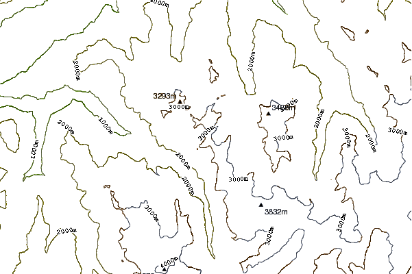
10 other mountain peaks closest to Rosablanche:
| 1. | Le Parrain (3259 m) | 0.5 km |
| 2. | Refuge-Igloo des Pantalons Blancs (3280 m) | 1.8 km |
| 3. | Cabane des Ecoulaies (2575 m) | 2.7 km |
| 4. | Cabane de la Barmaz (2457 m) | 3.1 km |
| 5. | La Sâle (3646 m) | 3.4 km |
| 6. | Cabane de Louvie (2207 m) | 3.4 km |
| 7. | Cabane de Prafleuri (2657 m) | 3.5 km |
| 8. | Mont Blava (2932 m) | 4.0 km |
| 9. | Le Pleureur (3704 m) | 4.1 km |
| 10. | Mont Fort (3328 m) | 4.1 km |