– Lat/Long: 46.45° N 15.33° E
 Rogla – Climbing, Hiking & Mountaineering information

Rogla Guide
- Elevation: 1517
- Difficulty: -
- Best months to climb: -
- Convenient center: -
Rogla climbers NotesBe the first to submit your climbers note! Please submit any useful information about climbing Rogla that may be useful to other climbers. Consider things such as access and accommodation at the base of Rogla, as well as the logistics of climbing to the summit. |
| Select a
mountain summit from the menu |
||
|
Select a Mountain Summit
|
||
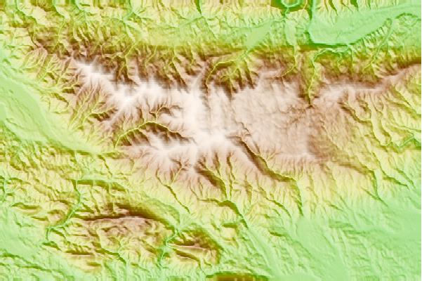
Use this relief map to navigate to mountain peaks in the area of Rogla.
10 other mountain peaks closest to Rogla:
| 1. | Bike Park Rogla (1494 m) | 0.7 km |
| 2. | Koča Na Pesku (1386 m) | 1.7 km |
| 3. | Koča Na Klopnem Vrhu (1280 m) | 7.4 km |
| 4. | Ribnica Lodge (1505 m) | 7.6 km |
| 5. | Planinska Koča Pesnik (1101 m) | 9.6 km |
| 6. | Grmovškov Dom Pod Veliko Kopo (1377 m) | 11.0 km |
| 7. | Bike Park Kope (1533 m) | 11.5 km |
| 8. | Dom Na Paškem Kozjaku (960 m) | 13.6 km |
| 9. | Ruška Koča (1246 m) | 14.1 km |
| 10. | Koča Planinc - Primož Na Pohorju (1010 m) | 15.2 km |