– Lat/Long: 48.54° N 113.42° W
 Red Mountain (Glacier County, Montana) – Climbing, Hiking & Mountaineering information

Red Mountain (Glacier County, Montana) Guide
- Elevation: 2858
- Difficulty: -
- Best months to climb: -
- Convenient center: -
Red Mountain (Glacier County, Montana) climbers NotesBe the first to submit your climbers note! Please submit any useful information about climbing Red Mountain (Glacier County, Montana) that may be useful to other climbers. Consider things such as access and accommodation at the base of Red Mountain (Glacier County, Montana), as well as the logistics of climbing to the summit. |
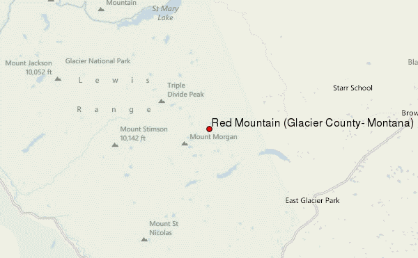
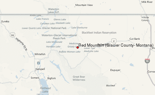
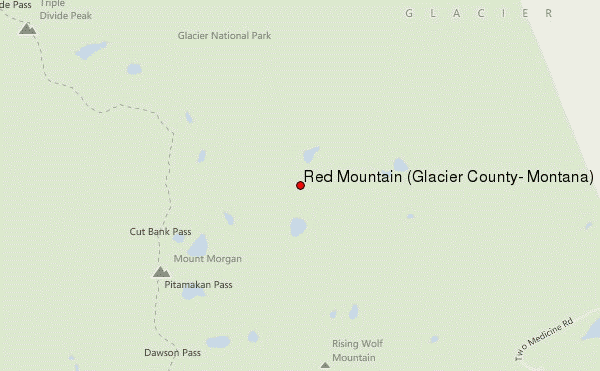
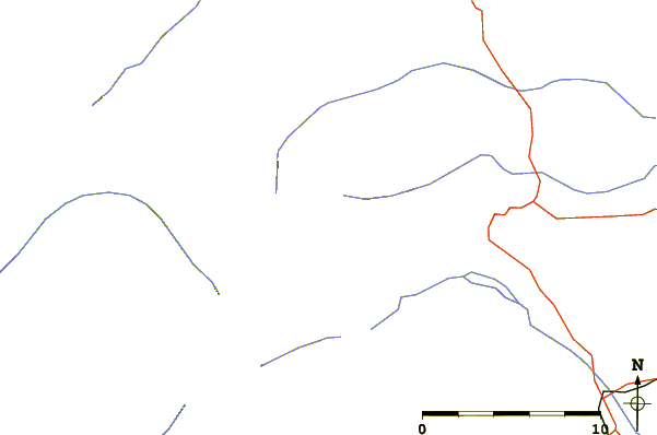
Select Red Mountain (Glacier County, Montana) Location Map Detail:
| Select a
mountain summit from the menu |
||
|
Select a Mountain Summit
|
||
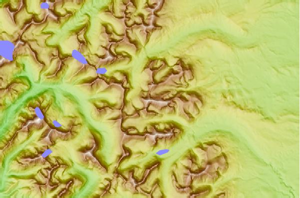
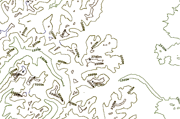
Use this relief map to navigate to mountain peaks in the area of Red Mountain (Glacier County, Montana).
10 other mountain peaks closest to Red Mountain (Glacier County, Montana):
| 1. | Eagle Plume Mountain (2659 m) | 1.9 km |
| 2. | Bad Marriage Mountain (2545 m) | 3.6 km |
| 3. | McClintock Peak (2525 m) | 3.7 km |
| 4. | Medicine Grizzly Peak (2534 m) | 4.0 km |
| 5. | Mount Morgan (Montana) (2676 m) | 4.3 km |
| 6. | Rising Wolf Mountain (2900 m) | 4.5 km |
| 7. | Flinsch Peak (2812 m) | 5.2 km |
| 8. | Mad Wolf Mountain (2542 m) | 5.4 km |
| 9. | Tinkham Mountain (2573 m) | 6.2 km |
| 10. | Razoredge Mountain (2612 m) | 7.2 km |