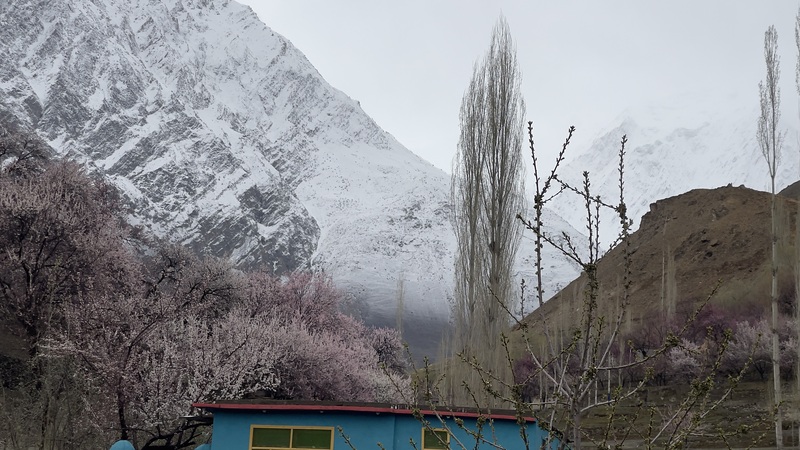
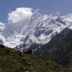
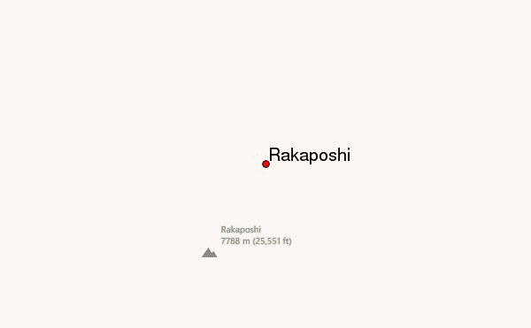
Rakaposhi Guide
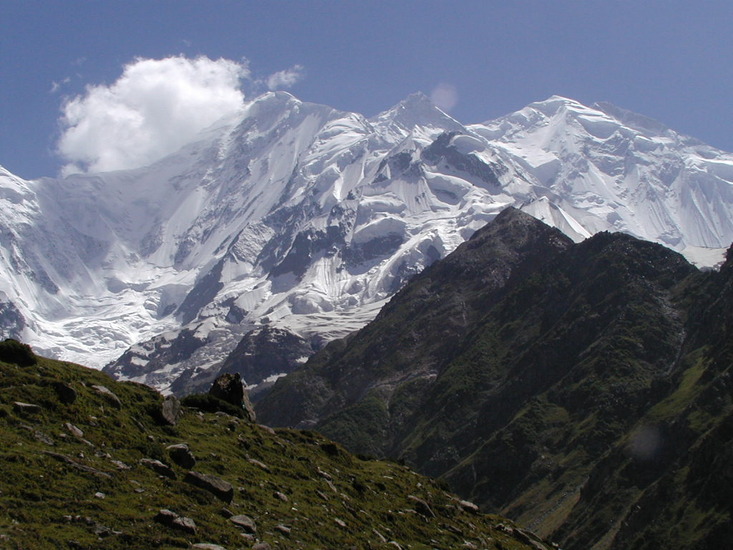
- Elevation: 7788
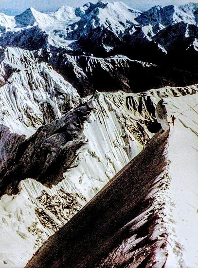
- Difficulty: Major Mountain Expedition
- Best months to climb: July, August, September
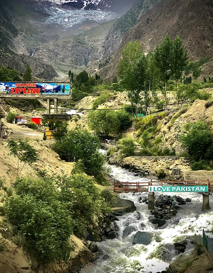
- Convenient center: Gilgit, Pakistan
Rakaposhi climbers Notes
Azma Azher from PAKISTAN writes:
Rakaposhi will be the greatest experience in my life!
If I will climb at Rakaposhi jus one time in my life, after this I don't think that I will have any lost in my life.
My lord! Please give me a one chance to climb the Rakaposhi in my life..(amen)
2013-11-13 |
Click here to read 1 more climbing note for Rakaposhi or submit your own
|
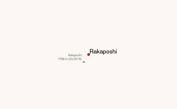
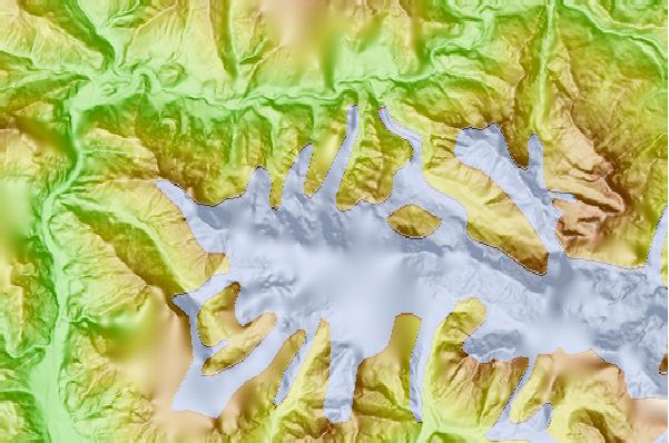
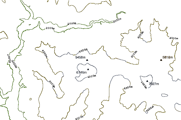
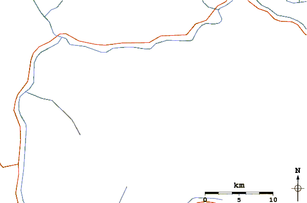
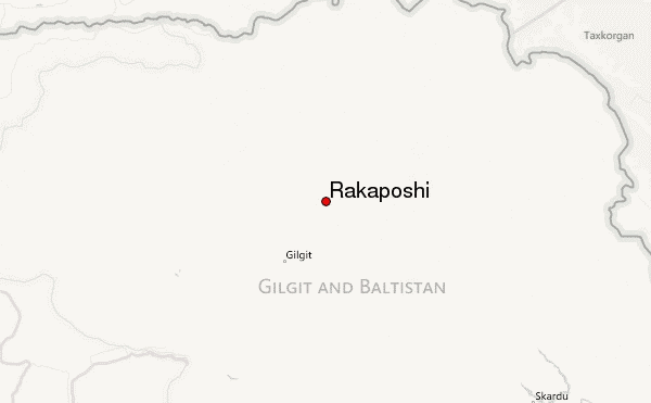
Select Rakaposhi Location Map Detail:
Use this relief map to navigate to mountain peaks in the area of Rakaposhi.
10 other mountain peaks closest to Rakaposhi:
 Rakaposhi – Climbing, Hiking & Mountaineering information
