– Lat/Long: 40.59° S 72.12° W
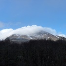
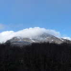
 Puyehue – Climbing, Hiking & Mountaineering information

Puyehue Guide
- Elevation: 2240
- Difficulty: Basic Snow and Ice Climb
- Best months to climb: January, February, September, October, November, December
- Convenient center: Entre Lagos
Puyehue climbers NotesBe the first to submit your climbers note! Please submit any useful information about climbing Puyehue that may be useful to other climbers. Consider things such as access and accommodation at the base of Puyehue, as well as the logistics of climbing to the summit. |

| Select a
mountain summit from the menu |
||
|
Select a Mountain Summit
|
||
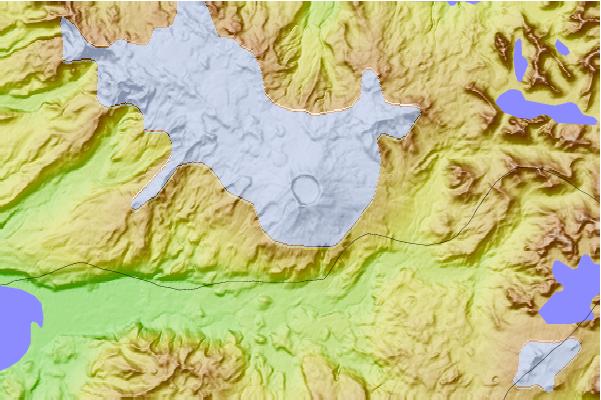
Use this relief map to navigate to mountain peaks in the area of Puyehue.
10 other mountain peaks closest to Puyehue:
| 1. | Mencheca (1840 m) | 9.1 km |
| 2. | Cordon Caulle (1798 m) | 10.5 km |
| 3. | Antillanca Group (1990 m) | 20.4 km |
| 4. | Casablanca (volcano) (2240 m) | 22.4 km |
| 5. | Cerro Pantoja (2112 m) | 24.5 km |
| 6. | Carran-los Venados (1114 m) | 27.0 km |
| 7. | Puntiguido-cordon Cenizos (2493 m) | 44.0 km |
| 8. | Puntiagudo-Cordón Cenizos (2493 m) | 44.0 km |
| 9. | Cerro Bayo (1782 m) | 45.9 km |
| 10. | Osorno (volcano) (2652 m) | 65.0 km |