Puracé Guide
- Elevation: 4650
- Difficulty: -
- Best months to climb: -
- Convenient center: -
Puracé climbers Notes
Frank Bravo from COLOMBIA writes:
In the base exist allocation, this allocation is managed by people of the indigenous community. It is safe enough to sleep and eat. You can go to the top of the volcano and return to the hostel, in one day.
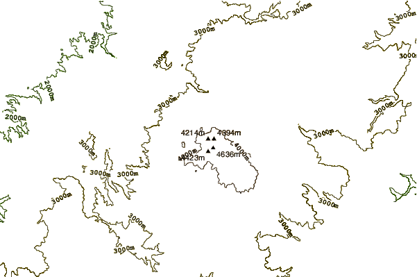
The place to visit is behind of the summit of the Purace. There is a line of big craters of volcanoes, incredible, and the end is a peak called "Pan de Zzucar".
The way to go there, is in three days: The first you go to the Purace top and pass behind, walk by the line of craters and go to do the camp in a small lake, aprox 2 hour behind of the summit.
The next day, go to the top of the Pan de Azucar and return to the camp.
The last day return to the base.
Some days the weather could be very heavy, go prepared for wind and the rain. If the weather is clear of cloud you can make the route by yourself. If cloudy, it is better to have a guide from the community.
2017-01-02 |
Click here to submit your own climbing note for Puracé
|
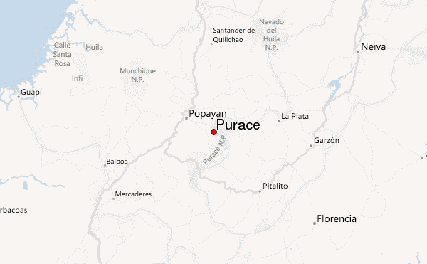
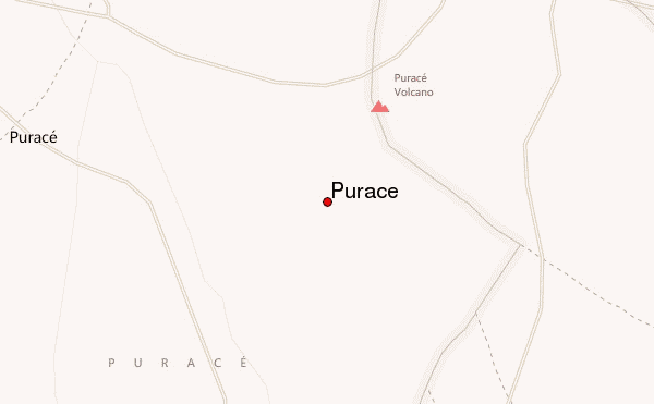
Select Puracé Location Map Detail:
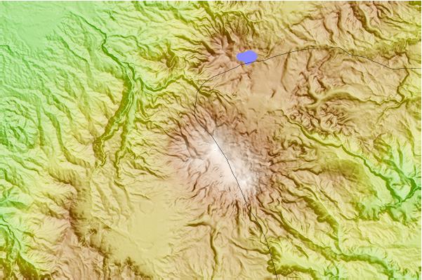
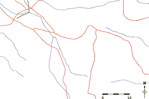
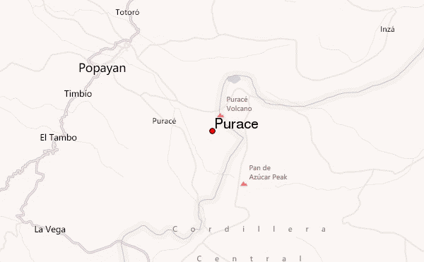
Use this relief map to navigate to mountain peaks in the area of Puracé.
10 other mountain peaks closest to Puracé:
 Puracé (Purace) – Climbing, Hiking & Mountaineering information