Povlen Guide

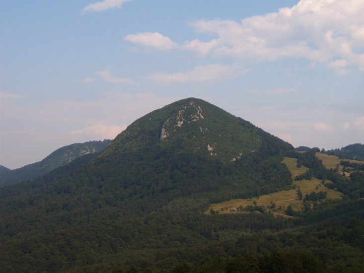
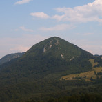
Povlen
Photo credit: Jelisaveta
- Elevation: 1347
- Difficulty: -
- Best months to climb: -
- Convenient center: -
Povlen climbers Notes
emile from SERBIA writes:
Driving up past the dam from Valjevo, start the hike at Debelo Brdo. Walk up the road to the Povlen mountaineering hut.
From the hut, walk up the steep trail to Veliki (Big) Povlen (1271m). Then, continue along the ridge to Srednji (Middle) Povlen (1301m).
The trail evens out before leading to a small chapel. Continue down the road past the chapel before a short uphill section to Mali (Small) Povlen (1347m).
This hike climbs and descends at a very gentle incline while circling around summer homes.
2018-01-24 |
Click here to submit your own climbing note for Povlen
|
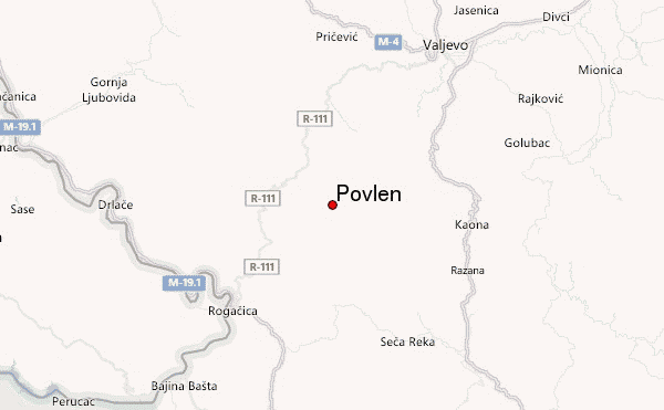
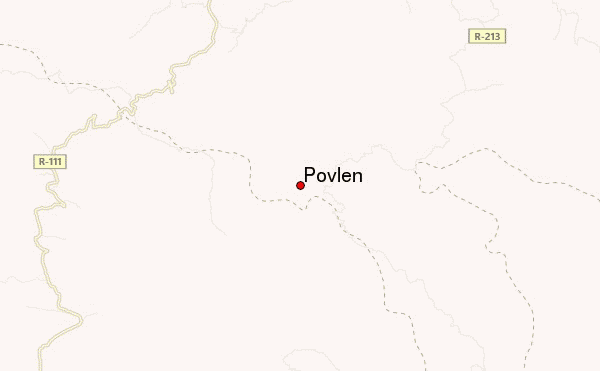
Select Povlen Location Map Detail:
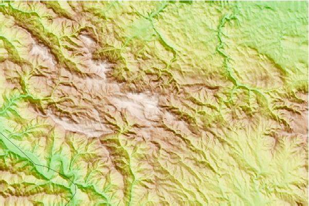
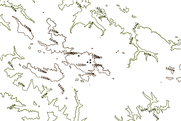
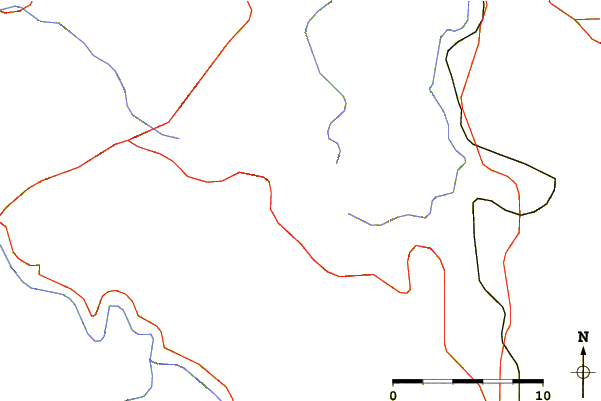
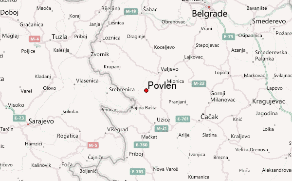
Use this relief map to navigate to mountain peaks in the area of Povlen.
10 other mountain peaks closest to Povlen:
 Povlen – Climbing, Hiking & Mountaineering information