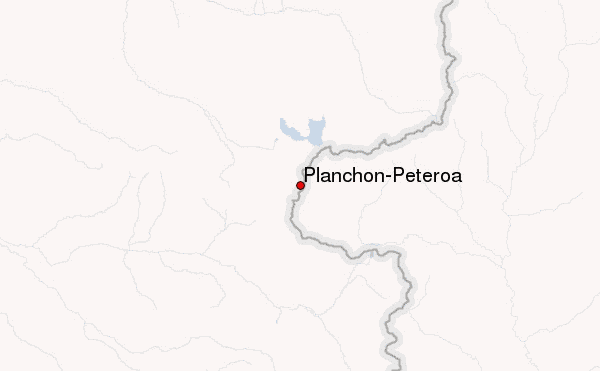
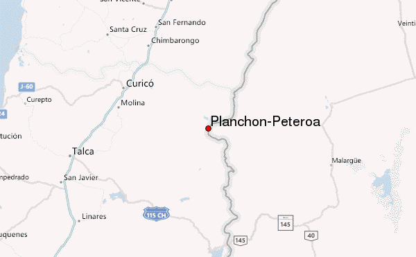
– Lat/Long: 35.24° S 70.57° W
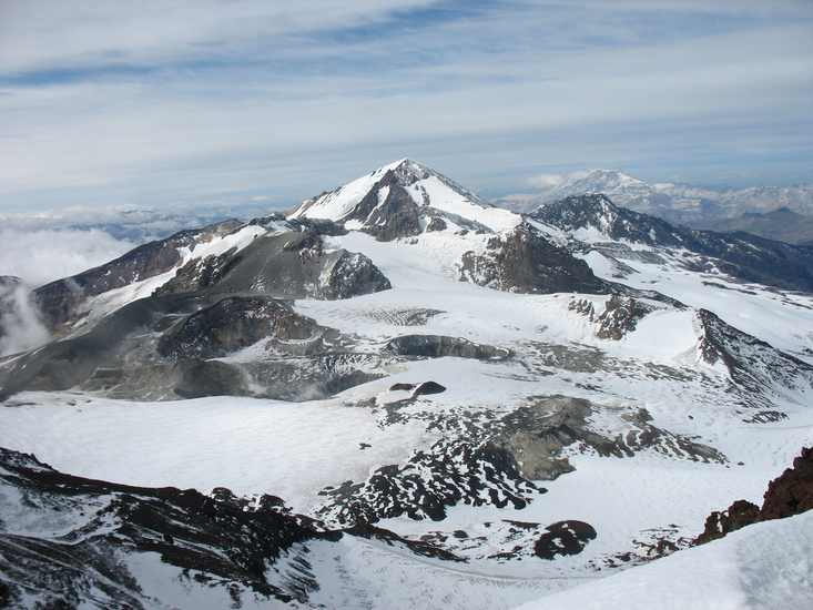
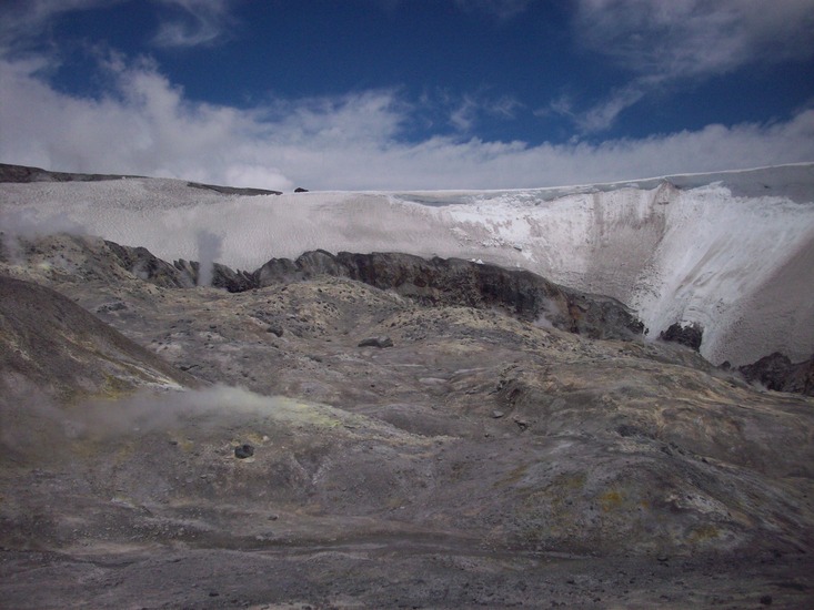
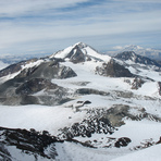
 Planchón-Peteroa (Planchon-Peteroa) – Climbing, Hiking & Mountaineering information

Planchón-Peteroa Guide
- Elevation: 4107
- Difficulty: -
- Best months to climb: -
- Convenient center: -
Planchón-Peteroa climbers NotesBe the first to submit your climbers note! Please submit any useful information about climbing Planchón-Peteroa that may be useful to other climbers. Consider things such as access and accommodation at the base of Planchón-Peteroa, as well as the logistics of climbing to the summit. |
| Select a
mountain summit from the menu |
||
|
Select a Mountain Summit
|
||
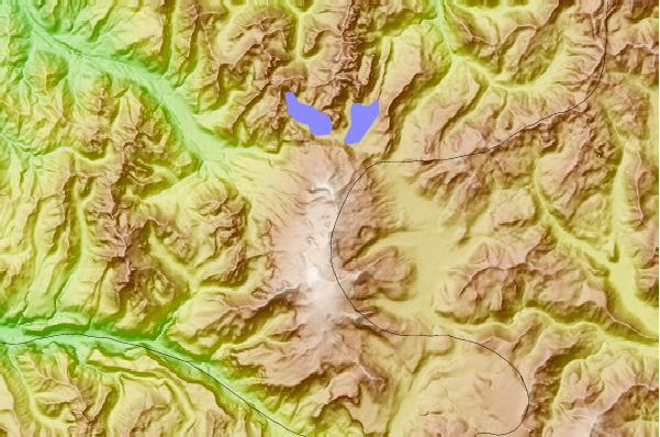
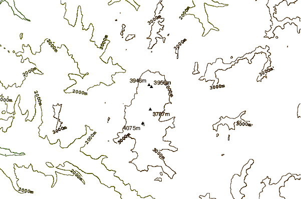
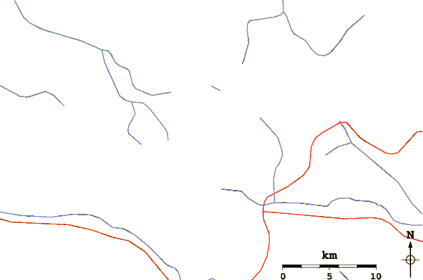
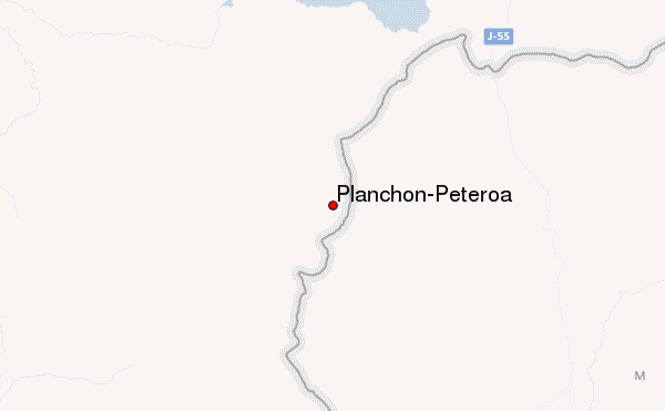
Use this relief map to navigate to mountain peaks in the area of Planchón-Peteroa.
10 other mountain peaks closest to Planchón-Peteroa:
| 1. | Mondaca (2048 m) | 32.5 km |
| 2. | Calabozos (3508 m) | 36.0 km |
| 3. | Descabezado Grande (3953 m) | 41.2 km |
| 4. | Las Leñas (3430 m) | 45.4 km |
| 5. | Cerro Azul (Chile volcano) (3788 m) | 49.1 km |
| 6. | Cerro Azul Or Quizapu (3788 m) | 49.1 km |
| 7. | Tinguiririca (4280 m) | 51.4 km |
| 8. | Tinguiririca (volcano) (4280 m) | 51.4 km |
| 9. | Cerro Leñas (4351 m) | 52.4 km |
| 10. | Los Hornitos (2000 m) | 58.1 km |