– Lat/Long: 37.99° S 175.09° E
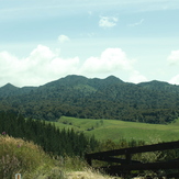
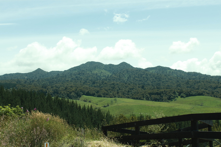
 Pirongia Mountain
Weather Forecast, New ZealandIssued: 11 pm Mon 03 Aug Local TimeUpdates in: hr min sUpdate imminent
Issued: 11 pm Mon 03 Aug Local Time
Updates in:
Update imminent hr min s

Issued: 11 pm Mon 03 Aug Local Time
Updates in:
Update imminent hr min s
Days 1–4 Weather SummaryMostly dry. Freeze-thaw conditions (max 6°C on Mon night, min -2°C on Tue night). Winds decreasing (near gales from the S on Tue night, light winds from the SSW by Thu morning). | Days 5–7 Weather SummaryModerate rain (total 18mm), heaviest on Sat night. Mild temperatures (max 7°C on Sun morning, min 1°C on Thu night). Winds decreasing (fresh winds from the NW on Sat night, calm by Sun afternoon). | |||||||||||||||
Tuesday 4 | Wednesday 5 | Thursday 6 | Friday 7 | Saturday 8 | ||||||||||||
night | AM | PM | night | AM | PM | night | AM | PM | night | AM | PM | night | AM | PM | night | |
rain shwrs | rain shwrs | some clouds | clear | clear | clear | clear | clear | clear | some clouds | clear | some clouds | some clouds | rain shwrs | light rain | heavy rain | |
Cloud base (m) | 450 | 600 | 700 | 400 | 900 | 700 | 850 | 850 | 750 | 850 | 600 | 600 | 750 | 300 | ||
km/h | ||||||||||||||||
 |  |  |  |  |  | |||||||||||
— | — | — | — | — | — | — | — | — | — | — | — | — | — | — | — | |
mm | 0.5 | 0.1 | — | — | — | — | — | — | — | — | — | — | — | 0.2 | 0.3 | 17 |
max °C | 6 | 3 | 3 | -1 | 0 | 2 | 1 | 3 | 3 | 2 | 5 | 5 | 4 | 6 | 6 | 6 |
min °C | 4 | 3 | 1 | -2 | -1 | 1 | 0 | 0 | 3 | 1 | 3 | 4 | 4 | 4 | 6 | 5 |
chill °C | -3 | -4 | -5 | -10 | -9 | -4 | -5 | -5 | -1 | -2 | 0 | 0 | 0 | 0 | 2 | 0 |
Freezing level m | 1900 | 1350 | 1250 | 550 | 850 | 1150 | 1150 | 1050 | 1300 | 1350 | 1800 | 1900 | 2000 | 1750 | 1850 | 1900 |
— | 7:18 | — | — | 7:16 | — | — | 7:16 | — | — | 7:15 | — | — | 7:13 | — | — | |
— | — | 5:32 | — | — | 5:34 | — | — | 5:35 | — | — | 5:36 | — | — | 5:37 | — | |
Loading...
Pirongia Mountain Weather (Days 0-3):
The weather forecast for Pirongia Mountain is: Mostly dry. Freeze-thaw conditions (max 6°C on Mon night, min -2°C on Tue night). Winds decreasing (near gales from the S on Tue night, light winds from the SSW by Thu morning).
Pirongia Mountain Weather (Days 3-6):
Moderate rain (total 18mm), heaviest on Sat night. Mild temperatures (max 7°C on Sun morning, min 1°C on Thu night). Winds decreasing (fresh winds from the NW on Sat night, calm by Sun afternoon).
This table gives the weather forecast for Pirongia Mountain at the specific elevation of 969 m. Our advanced weather models allow us to provide distinct weather forecasts for several elevations of Pirongia Mountain. To see the weather forecasts for the other elevations, use the tab navigation above the table. For a wider overview of the weather, consult the Weather Map of New Zealand.
| Weather Station | Temp. | Weather | Wind | Gusts | Cloud / Visibility |
|---|---|---|---|---|---|
Waite Road | |||||
Taitua Rd | |||||
CYT | |||||
Waitomo | |||||
SM21 Rototuna | |||||
Pippa Lane- Hamilton | |||||
Taharoa | |||||
Leamington |
* NOTE: not all weather observatories update at the same frequency which is the reason why some locations may show data from stations that are further away than known closer ones.