John from CANADA writes:
Hiked mostly, but great mountain to climb as well, gives an excellent view of the surroundings, and has spots of mountain tea to stop pick boil and enjoy, then continue your route.
Hiked it in July 2014, Best follow a colder period since in hotter months, July- August, there may be an abundance of snakes. Canadians, Take note that snakes in Greece are poisonous. Always carry an anti venom if you can and dont disturb rocks or walk in high bushes.
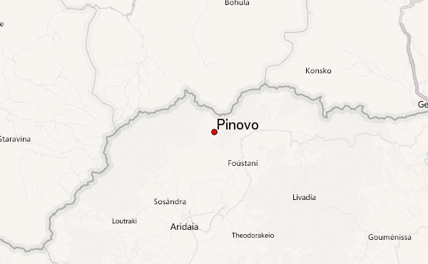
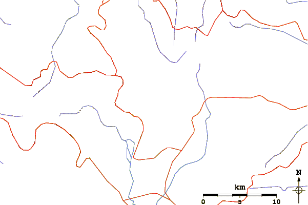
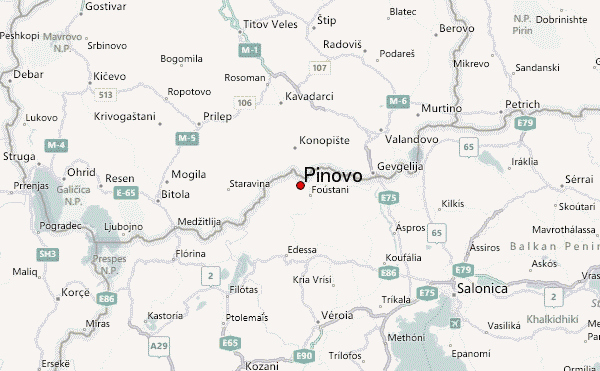
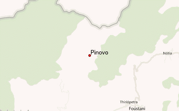
Directions. Only route I know of is via Aetohori, right after Foustani to the north. From the 3 directions once in the village, take the one that continues straight up from road you came in from right from the elders cafe. will bring you to a off road, wich you will need a higher spaced car and bigger engine than a 1.0 rental to drive to the top. Direction Peuka/πευκα ( pines)and I've rented a Suzuki Jimny for the occasion, from Thessaloniki, don't tell em what you'll be using a 4x4 for they wont rent it to you.
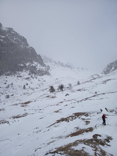
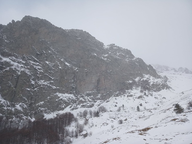
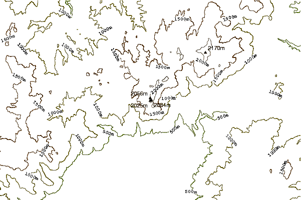
It's a 45 minute drive up, at a point you'll take a right, then stop and continue by foot for an hour,midway you'll find an opening and a water source, usually campers that went up all the way by foot camp here, for the water best have a micro filter to drink it, or pills, but water is safe, be sure to fill up, since I didn't find any other sources higher up, thus i heard there are on the other side of mountain, were the old anti aircraft WW2 cannon stood untill 2 years ago, there was a great battle up there, you might find scrap steel from planes, canons, blown aircraft bombs, even old soldier uniforms and helmets, don't steal anything, leave it be for future climbers to see. You'll have 30 minutes more to walk, once there in the open were you go, walk, climb play, camp is up to you.
And don't worry, the sheep dogs just bark, don't approach the sheep or cows their guarding, duhh.
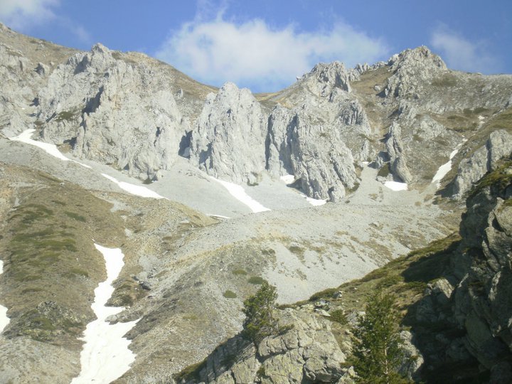
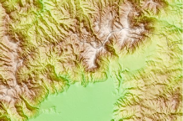
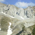
Once up there the view is all the riches of the world, the moment is priceless. Mountains are very different from ones here in Canada, or the American continent, so you will have the gratification of hiking Pinovo and or Jenna. Rock formation are approachable for climbing it with both ropes and free climb.
Hope those notes help out. Just be sure to bring everything you ll need for a stay. And don't stress out if its for the day... taken that I hiked it with no water bottle and just one food bar for 4 people and 12% of battery on my camera.... The result were the same... Priceless. Experiences like that, far from the beaches and tourists make truly feel Greece
Enjoy the mountain, bring your garbage back down.
* Were to get food after you finished: There's a tavern with great food from noon to late night, on the main road to at the village of Arhangelos, food is great and they speak English. Ask the special of Feta and local fresh pepper.
** You can stop for a coffee, in the multiple cafes and bars that are in Filotia, known for its percentage of cafe/bars vs population.
*** If you go in 1 week of August, don't miss out on the Paiko Fest, held somewhere inside the forest up Paiko mountain, you'll get there from Prodromos Village down from Foustani, its usually shown directions. Must pass a river with your car;.... that looks amazonian and fun. (its chill bring something warm)
2014-08-15 |
 Pinovo – Climbing, Hiking & Mountaineering information