– Lat/Long: 32.73° N 114.75° W
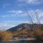
 Pilot Knob (Imperial County, California)

Pilot Knob (Imperial County, California) Mountain Photos
View
photos from Pacific Coast Ranges (1056) |
photos from United States (3052) |
all photos
 Upload new photo
 Sort by:
Latest uploads
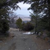
Photos from mountains close to Pilot Knob (Imperial County, California)
Coyote Mountain (California)
Cuyamaca Peak
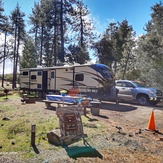
Cuyamaca Peak

Cuyamaca Peak
Julian Cabins