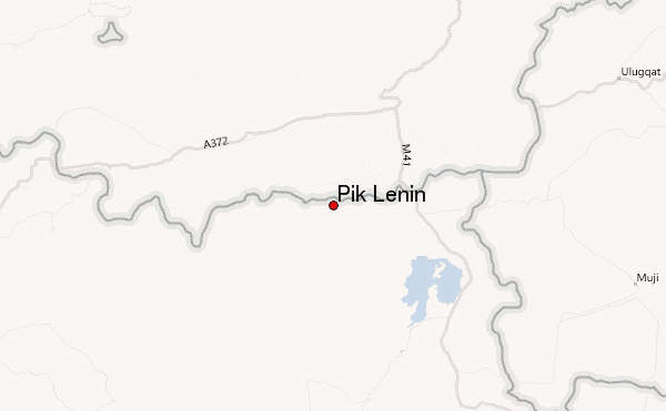
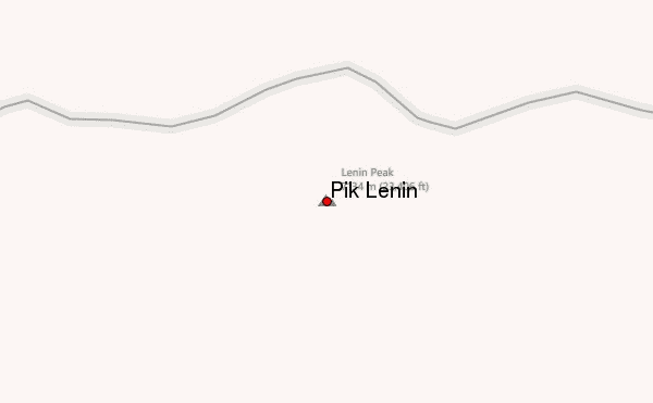
– Lat/Long: 39.33° N 72.92° E
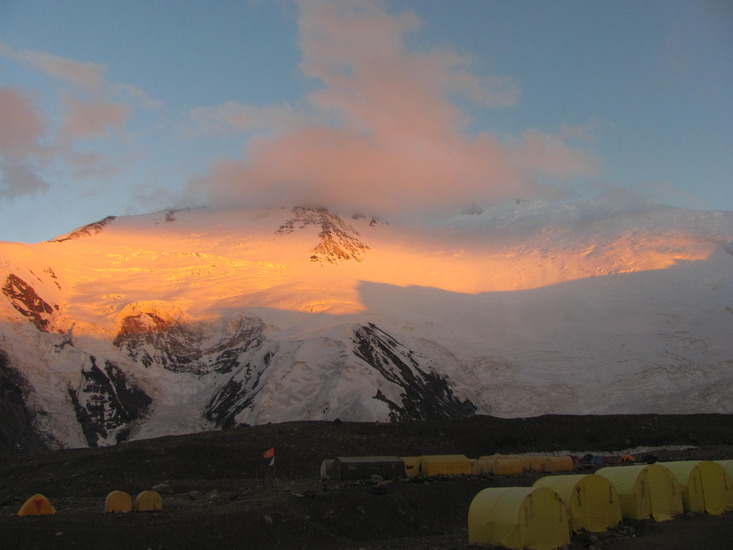
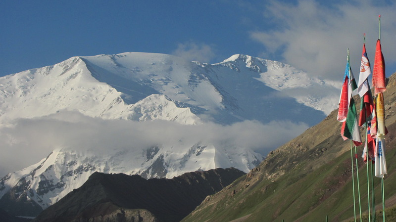
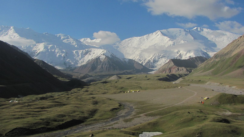
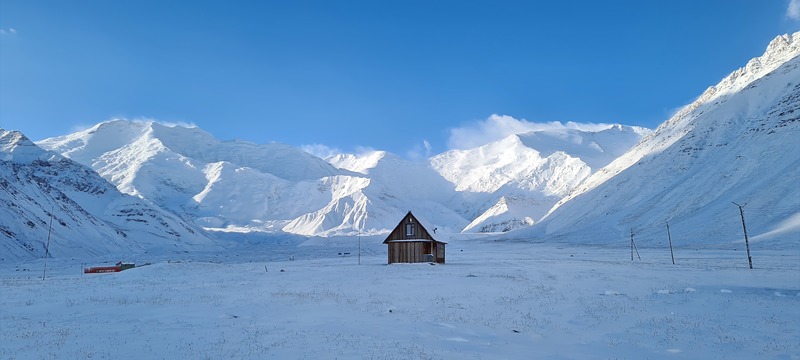
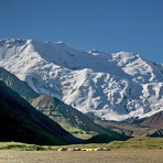
 Pik Lenin – Climbing, Hiking & Mountaineering information

Pik Lenin Guide
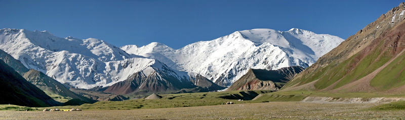
- Elevation: 7134
- Difficulty: Basic Snow and Ice Climb
- Best months to climb: June, July, August
- Convenient center: Osh, Kyrgyzstan, Dzhirgatal, Tajikistan
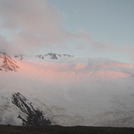
Pik Lenin climbers Notes
|
| Select a
mountain summit from the menu |
||
|
Select a Mountain Summit
|
||
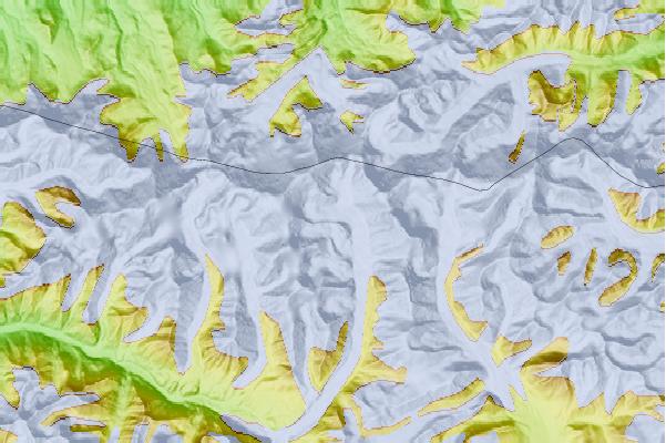

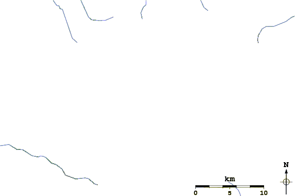
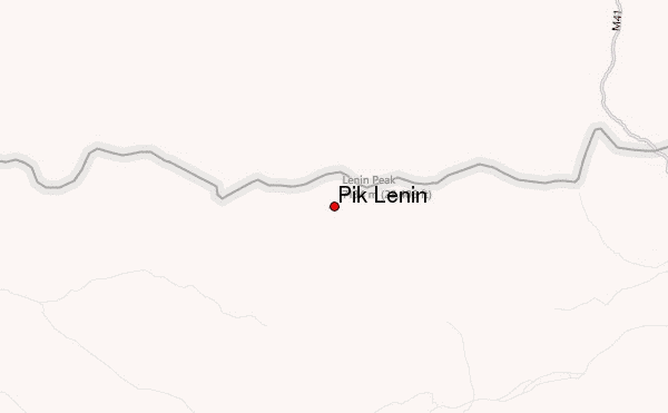
Use this relief map to navigate to mountain peaks in the area of Pik Lenin.
10 other mountain peaks closest to Pik Lenin:
| 1. | Pik Marshal Zhukov (6842 m) | 3.4 km |
| 2. | Ibn Sina Peak (7134 m) | 3.6 km |
| 3. | Peak of the 19th Party Conference (5882 m) | 7.0 km |
| 4. | Myra I (4950 m) | 13.2 km |
| 5. | Gora Kurumdy (6614 m) | 57.4 km |
| 6. | Peak Korzhenevskaya (7105 m) | 83.0 km |
| 7. | Pik Korzhenevskaya (7106 m) | 83.0 km |
| 8. | Kholodnaja Stena (5947 m) | 87.1 km |
| 9. | Pik Imeni Ismail Samani (7495 m) | 88.6 km |
| 10. | Ismoil Somoni Peak (7495 m) | 90.4 km |