 Pico do Cabugi – Climbing, Hiking & Mountaineering information

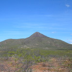
Pico do Cabugi Guide
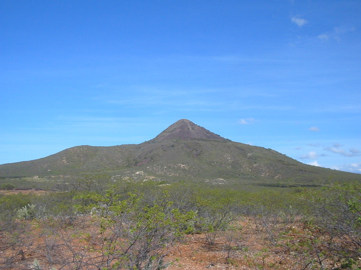
- Elevation: 590
- Difficulty: Scramble
- Best months to climb: n/a
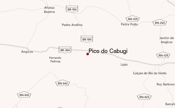
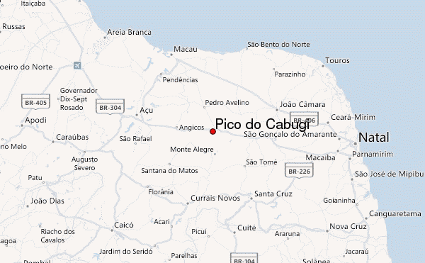
- Convenient center: Lages, RN
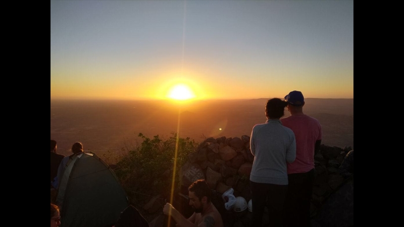
Easiest access to the peak is just a few miles north of the town of Lages. Just a few miles past the town, you will see a dirt road leading to the peak on your left. Pull your car off the road and begin walking towards the obvious peak. The first mile stays on the dirt road then turn into a trail throught the small forest. Once out of the forest, you will be at the boulder field which surrounds the peak. 45 minutes up the boulder field and you will be at the highest point in Rio Grande do Norte State. There is a small cement square to sleep on at the peak if you wish. The weather is generally nice in the north which can make for a great star show at the peak. A blanket or light sleeping bag would be sufficient.
Pico do Cabugi climbers NotesBe the first to submit your climbers note! Please submit any useful information about climbing Pico do Cabugi that may be useful to other climbers. Consider things such as access and accommodation at the base of Pico do Cabugi, as well as the logistics of climbing to the summit. |
| Select a
mountain summit from the menu |
||
|
Select a Mountain Summit
|
||
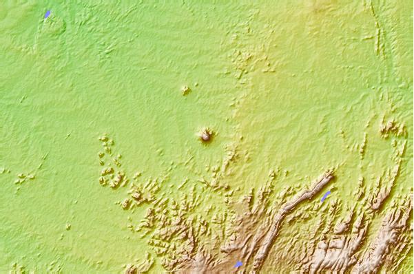
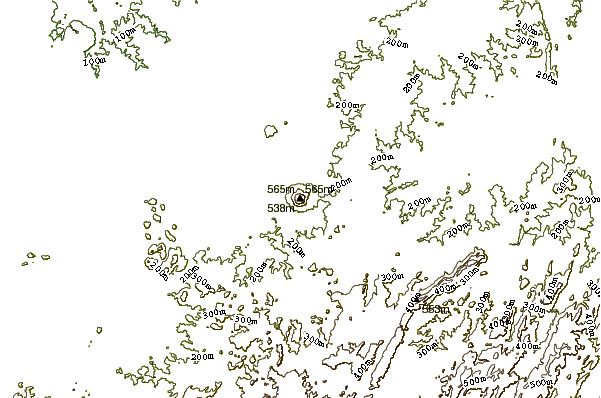
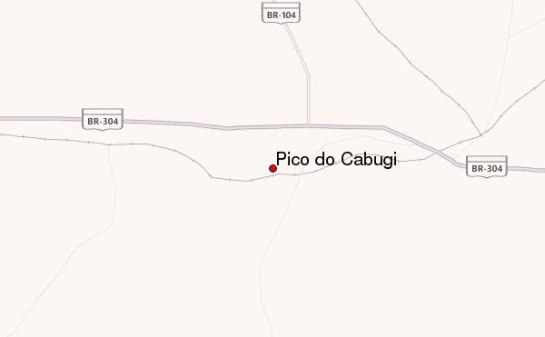
Use this relief map to navigate to mountain peaks in the area of Pico do Cabugi.
10 other mountain peaks closest to Pico do Cabugi:
| 1. | Pico do Jabre (1197 m) | 207.7 km |
| 2. | Pico do Papagaio (1260 m) | 303.5 km |
| 3. | Pico Alto (1114 m) | 329.6 km |
| 4. | Terra na Veia Bike Park (65 m) | 331.5 km |
| 5. | Serra da Boa Vista (Ceará) (522 m) | 386.9 km |
| 6. | Pico do Barbado (2033 m) | 1043.4 km |
| 7. | Mount Crystal (2425 m) | 1679.6 km |
| 8. | Pico do Roncador (1341 m) | 1693.6 km |
| 9. | Pico Da Bandeira (2890 m) | 1742.1 km |
| 10. | Sugar Loaf Mountain (395 m) | 2054.4 km |